VISSCHER (Nicolas);Livre Rare Book
11 984 résultats
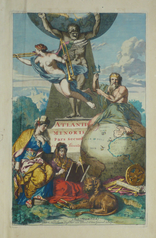
1690LBW-1718Amsterdam Nicolaum Visscher vers 1690 397 x 250 mm.
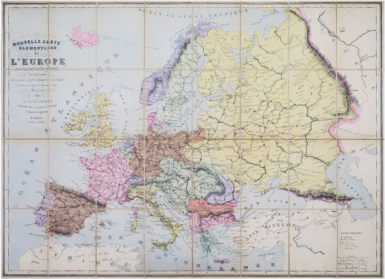
1900LBW-8465Paris, V.P. Marin, [vers 1900]. En 32 sections montées sur toile et repliées, formant une carte de 0,85 x 1,14 m ; étiquette au dos de l'éditeur Maison Logerot V. P. Marin.
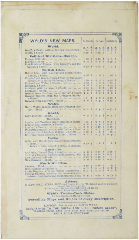
1870LBW-8934London, James Wyld, 1870. En 40 sections montées sur toile et repliées, formant un plan de 0,80 x 1,18 m ; monté dans une reliure de chagrin vert avec étiquette de l'éditeur sur le premier plat ; large étiquette au dos présentant les publications de la maison d'édition.
Carta nautica del mondo tratta dalla Specula physico-mathematico-historica notabilium ac mirabilium sciendorum, in qua mundi mirabilis oeconomia ... nunc autem ad lucem protractus, ac ad varias perfacili methodo acquirendas scientias in epitomen collectus thesaurus curiosis omnibus cosmosophis inspectandus proponitur... / authore Joanne Zahndello Zahn, una cosmografia riccamente illustrata. Zahn era un monaco, studioso e scienziato, si dedicò a studi sulla camera oscura. La sua opera è sulla scia di Athanasius Kircher - studioso gesuita, uno dei primi scrittori sui fenomeni fisici della terra - che, nel suo Mundus Subterraneus (1665) teorizzava che tutti gli oceani della Terra erano connessi tra loro tramite dei tunnel sotterranei che univano oceani e mari. Tra il Mar Mediterraneo, il Mar Nero, il Mar Caspio e il Golfo Persico, Kircher ha teorizzato enormi gallerie e un complesso interscambio di flussi d'acqua. Questi tunnel sono particolarmente noti tra il Mar Nero e il Mar Caspio e tra il Mediterraneo e il Golfo Persico. L'Antartide è rappresentata lungo la parte meridionale della mappa. A nord è raffigurato un grande passaggio aperto a nord-ovest che corre lungo tutta la mappa. Mostra la Nuova Guinea e una suggestione dell'Australia collegata alla terraferma Australsis Incognita. L'Africa è mostrata con una precisione notevolmente maggiore rispetto a molte mappe disegnate centinaia di anni dopo - in particolare per quanto riguarda il Niger e i sistemi fluviali del Nilo. Il Nord America e il Sud America sono entrambi maldestramente raffigurati, il che indica una conoscenza relativamente sommaria del continente. La Corea viene mostrata come un'isola e il Giappone appare come un'unica isola. Incisione in rame, in ottimo stato di conservazione. A world chart from the Specula physico-mathematico-historica notabilium ac mirabilium sciendorum, in qua mundi mirabilis oeconomia ... nunc autem ad lucem protractus, ac ad varias perfacili methodo acquirendas scientias in epitomen collectus thesaurus curiosis omnibus cosmosophis inspectandus proponitur... / authore Joanne Zahn, a finely illustrated cosmography, designed to show the ocean currents, vortexes and volcanos. Johann Zahn (1631-1707), a German monk, also published a … read morebook on optics, 'Oculus Artificialis Teledioptricus Sive Telescopium' (1685), with extensive descriptions of both the camera obscura and the magic lantern, which he used for anatomical lectures.[«] SHIRLEY: World 583, "engravings of a high standard". The Mundi Mirabilis oeconomia was influenced by Kircher’s Mundus Subterraneus (1665). The Jesuit scholar, Athanasius Kircher, was one of the first compilers of semi-scientific knowledge about the physical features of the world. This map expounds on Kircher's theories by noting the abysses and the currents they create as well as the locations of the world's known volcanoes. Between the Mediterranean Sea, the Black Sea, the Caspian Sea, and the Persian Gulf, Kircher theorized massive tunnels and a complex interchange of water flows. These tunnels are noted most particularly between the Black and Caspian Sea and between the Mediterranean and the Persian Gulf. Antarctica is shown along the southern part of the map. In the North a great open northwest passage is depicted running all the way across the map. Shows New Guinea and a suggestion of Australia attached to the 'Australsis Incognita' mainland. Africa is shown with considerably greater accuracy than many maps drawn hundreds of years later – particularly with regard to Niger and Nile River Systems. North America and South America are both wildly malformed, indicating a relatively sketchy knowledge of the continent. Korea is shown as an Island and Japan appears as only a single island. Copperplate, very good condition. R. W. Shirley, "The Mapping of the world", 583.
1906197908Kobe Japan.: Fuku-In-Kwan. 1906. Printed colour folding map on two conjoined sheets laid down 73.8 x 10⁵ cms foxing on verso not affecting map single pinhole in each corner scant spotting small fold splits no loss a few soft fold creases but in good condition. Very rare striking map of Japan published for the Western market. <br> <br>Created under the direction of Takachika Okishio featuring 10 inset maps: Chishima Kurile Islands Hokushu Hokkaido Ogasawara-Jima Bonin Islands Hachijo-Shima Ioshima Okinawa Saki-Shima Kyushu Saikaido Taiwan Formosa and Eastern Asia. The insets of Taiwan and Kyushu are the largest and centrally positioned. A Glossary and Explanation of Signs is printed at the foot of the map which list Towns Railway Stations Boundaries of Prefectures Notable Places Hot Springs Water-falls rapids Volcanoes Light-Houses Gold Silver and Coal-Oil fields. The Japanese Government Railway series of Travellers' Maps of Japan appear to have been modelled after this design. . Fuku-In-Kwan. unknown
193461915Chicago IL: Published by A.J. Nystryom & Co. Maps Globes Charts 1934. Seven large linen-backed colour lithograph maps sized from 43.5 x 72 in. to 51.5 x 60 in. all mounted on their original spring-loaded rollers wooden pull dowel & metal ring pull some creasing minor edgewear creasing soot soiling to the lower margin averaging about 6-7 in. due to exposure when rolled “Europe†and “United States†with faint tidemark & discoloration at left margin some minor creasing wear all preserved in the original A.J. Nystrom quarter-sawn oak wall bracket sized 58.5 x 15.25 x 3.25 in. all pull-down maps firmly secured in their steel brackets preserving 6 of the 7 original labels on the edge of the pull-down dowels still a VG- set of maps in their original configuration. First editions thus of this complete and exceptional example of the Atwood/A.J. Nystrom Regional-Political Series Map Case reflecting the many geographical and political changes between World War I and World War II. Such changes are reflected in the appearance of Manchoukuo the Japanese controlled rump state established in Manchuria in 1932 by the Japanese Empire and also depicting Korea still as Chosen. The Europe map depicts the East Prussia still controlled by the Weimar Republic and then after Hitler ascended to power; while Africa still retains much of the colonial powers as shown in the Belgian Congo Anglo-Egyptian Sudan French Equatorial Africa and even Beuchuanaland. The Australia and the Far East Map clearly defines the Japanese United States British & Australian mandates across the South Pacific. Atwood 1872-1949 was a noted geographer and educator who was a member of both the New Jersey and Wisconsin Geological Surveys served in the US Geological Survey served as professor of Physiography at Harvard and later from 1920-1946 when he produced these maps was President of Clark University and Head of its School of Geography. No similar complete sets located in Worldcat. Published by A.J. Nystryom & Co., Maps, Globes, Charts, unknown
183318856Milano: Fortunato Stella e Figli 1833. First Italian edition. Hardcover. f to vg. Oblong folio 12 6/8 x 18 1/2". 1 leaf Title 38 leaves Plates 1 leaf List of content. Original half morocco over burgundy paper covered boards. Gold lettering and tooling on spine. Rare first Italian edition of Paul-Louis-Bernard Drach's atlas volume of his "Sainte Bible de Vence" a series which was originally published in 27 volumes in Paris from 1827 to 1833. The striking 38 engraved plates featured in this atlas are composed of 13 maps by A. R. Fremin and 25 engravings signed by Falkeisen Angelini and Lanzani. The engraved plates have been laid down on beautiful hand-made paper and describe the following: 1. Map of the place of Eden Mesopotamy and Persian Gulf; 2. Noah's Arch construction; 3. Noah's Arch; 4. Map of the land divided among Noah's sons; 5. The Babel Tower; 6. Map of the Land of Canaan; 7. Map of Jews' Pilgrimage; 8. The Jerusalem Sahnedrin; 9. The Temple of Jerusalem plans and sections; 10. The Temple of Jerusalem square plan; 11. Map of ancient Jerusalem; 12. The Temple of Salomon; 13. The Temple's foundations; 14. The East Gate; 15. The Buildings of the Temple; 16. Musical Instruments of the Jews; 17. Hebrew Alphabet; 18. Jew's Vestments and worship's objects; 19. Two Menorah; 20. High Priest's vestments and Golden Menorah; 21. Moses' Tabernacle; 22. The Loaves of Proposition; 23. Plan and section of the Tabernacle; 24. The encampment of the Israelites; 25. Map of the Holy Land South; 26. Map of the Holy Land North; 27. Map of Syria; 28.Map of Israel under Salomon; 29. Plan of the House of the Forest of Lebanon; 30. The House of the Forest of Lebanon; 31. The Bronze Sea; 32. The Washings; 33. The Altars of the Holocausts; 34. Map of the Persian Empire; 35. Map of the Land of Canaan according to Ezechiel; 36. Map of Herod's Reign; 37. Zachary's Vision; 38. Map of the travels of Saint Peter and Saint Paul. The plates measure appr. 12 1/2 x 18 1/4" image size appr. : 9 1/2 x 14 6/8". Binding rubbed on covers and along edges. Head and tail of spine chipped. Previous owner's Ex-libris Calvin Bullock on inside of front cover. Minor and sporadic foxing along paper margin not affecting plates. Title and captions in Italian. Binding in overall fair interior in very good plates in near fine to fine condition. About the author: "David Paul Drach aka Paul-Louis-Bernard Drach after his conversion 1791-1865 was a Catholic convert from Judaism and librarian of the College of Propaganda in Rome. Drach received his early education from his father who was a rabbi. After spending some time in various Talmudic schools he became a teacher at Rappoltsweiler though only sixteen years of age. The love of the secular sciences brought him to Paris where he was welcomed by his coreligionists and became tutor in a wealthy Jewish family. His reputation as a teacher brought him Christian pupils; and this may have had some influence on his subsequent conversion; in fact he had always manifested some leaning toward Christianity. Drach had already begun the study of Greek and Latin so as to become acquainted with the Christian doctrines in their original sources. Struck by the accusation of some of the Fathers that the Jews had corrupted the Hebrew text he began a comparative study of the Hebrew and the Septuagint which study he continued in spite of the remonstrances of the president of the Central Consistory. Drach was received into the Catholic faith in 1823 together with his two daughters and his son Paul who afterward became a priest and a distinguished Biblical scholar. In 1827 Drach accepted the position of librarian of the Propaganda in Rome which position he held until the year of his death." From the Jewish Encyclopedia. Fortunato Stella e Figli hardcover
8vo [22 x 15 cm]; 3 volumes, xxiv, xxiii, 576; viii, 618; xxii, 477 pp, 22 engraved maps and plates, many folding, including frontis portrait and 11 maps. later half calf, gilt title lettering on spines, edges worn, signature, a map split at fold, only light foxing, very good set. A picture of this book is available upon request by email. Sabin 21901. Cundall 2095. Welch 264. The maps include west Indies, Jamaica, Barbados, Granada, St. Vincent, Dominica, St. Christopher and Nevis, Antiqua, Virgin Islands, St. Doningo, Tobago. The plates include Negro festival, plan for sugar mill, view of Trelawney town, aboriginal peoples, bread fruit, etc. The first edition was 1793 in two volumes. The earlier editions had only 5 maps, few plates. Regatz 165: 'A classic in British Caribbean literature and probably the most famous work in the field. Standard for over a century, and still in many respects the best book on the subject up to the close of the 18th century'.
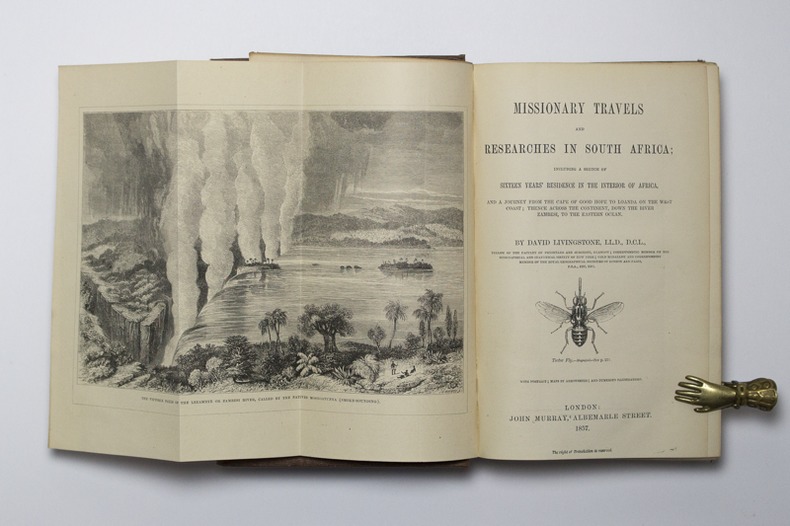
185714921London, John Murray, 1857. Petit in-4 de IX-[1]-687-8 pages, pleine percaline brune décorée à froid. Etiquette de la librairie Desrogis, à Genève (de l'époque de la publication de l'ouvrage). Infime fente à la coiffe supérieure. Etiquette du relieur: Edmonds & Remnants.
127536aafHauterive, Editions Gilles Attinger, 1989, elefant-Folio: 59 x 75 cm (Kassette). Papiergrösse 56 x 71 cm. 127 lose faksimilierte, farbige Blätter in 59 bedruckten Papierhüllen, leinen-überzogene Kassette, Lederetikette vorne, Verschluss mit 2 Lederriemen und Druckknöpfen.
19208575Paris 1920. French naval chart 63 x 91.5 cms black and white with beacons highlighted in yellow insets of Port dAbri the inner harbour at modern day Izmir and two coastal profiles slightly dusty lower margin one or two closed marginal tears blank verso. Engraved in 1866 after British charts by Copeland and Spratt this example of the map was printed in September 1920 during the Greek occupation of the Zone of Smyrna part of the territory awarded to Greece at the expense of the Ottoman Empire by the Allied powers after the Great War. Smyrna became an important base for Greek forces during the resulting Greco-Turkish War of 1919-1922 and in the bloody aftermath of the Greek withdrawal half the city was razed in the Great Fire of Smyrna also known as the Smyrna Catastrophe. Map unknown
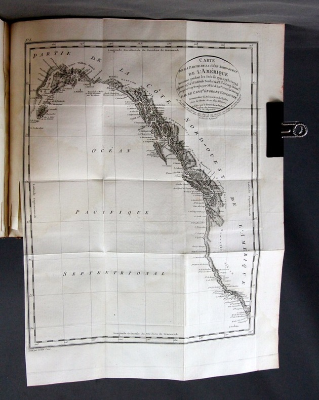
6293Paris, Didot jeune, an X. 6 volumes in-8 de [4]-VIII-341p., [4]-384p., [4]-381p., [4]-368p., [4]-438p., et un atlas de [4]p., 17 vues et 9 cartes, plein veau moucheté, dos lisses ornés de filets et fleurons dorés, pièces de titre rouge. Reliures un peu malmenées, coiffes frottées, mors un peu fendus, épidermures, auréoles pales à trois volumes, plus présentes dans l'atlas. Chaque première page est frappée d'un large tampon non identifié par votre serviteur.
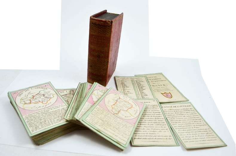
181912902Paris, Bourrut-Le Meri, Rue du Petit lion St Sauveur, [1819?]. Boite d’édition imitant un livre, recouvert de papier maroquiné rouge avec roulette florale dorée en encadrement sur les plats et un dos orné, titre doré au dos, glissière au niveau de la tranche supérieure.
In -4°, pp. (8), 747, (36); (4), 201, (14); (8), 162, (14); (4), 77, (15); mezza pergamena con titolo e fregi al dorso. Manca una carta (Europa) delle quattro stampate. Ognuna delle quattro parti del libro ha il suo frontespizio con marca tipografica. La “Ragion di stato” è l’opera principale di questo gesuita, che era stato anche precettore per i Savoia: l’espressione entra nell’uso solo successivamente alla compilazione del lavoro. A map missing (Europe) on the four printed. Each of the four parts of the book has his own title.
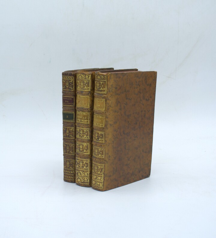
1772PHO-2297Paris, Saillant & Nyon, 1772. 3 vol. in-8 (20x12,5cm), veau brun, dos à nerfs ornés, pièces de titre et de tomaison, tranches rouges (reliure de l'époque), pdt en maroquin rouge et tomaison verte pour le tome3. Coins usés, 1 coiffe arasée, 1 carte déchirée sans manque, déchirure en marge page 267, taches au titre (tome3), qlqs brunissures. Illustrée de 21 cartes dépliantes (îles Malouines, détroit de Magellan, etc…) et de 3 planches.
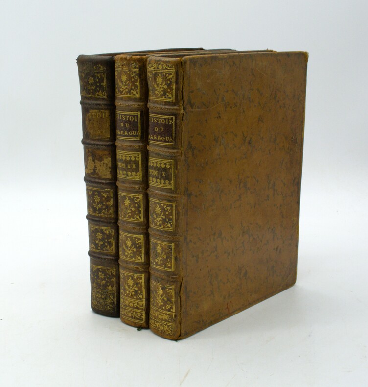
1756PHO-1895Paris, Didot, Giffart et Nyon, 1756. 3 vol. in-4 (260x200) de (5) ff., 489, xxxiii, (4) pp. ; (2) ff., 356, clviii, (2) pp. , 285pp ,cccxv,2ff .Veau marbré, dos à nerfs ornés, p. de titre et de tom., tranches rouges (reliure de l'époque),bien complets de leurs 7 cartes dépliantes dont le plan de Buenos Aires. Reliure tome 3 légèrement différente, avec pièce de tomaison absente, pièce de titre avec manque, coins usés, petit accroc.
Straordinaria mappa fisica ed idrografica del mondo, raffigurante le correnti oceaniche, profondità marine ed i vulcani. La carta è tratta dal Mundus Subterraneus del Kircher, studioso gesuita, uno dei primi scrittori sui fenomeni fisici della terra. Il Kircher teorizzava che tutti gli oceani della Terra erano connessi tra loro tramite dei tunnel sotterranei che univano oceani e mari. Tra il Mar Mediterraneo, il Mar Nero, il Mar Caspio e il Golfo Persico, Kircher ha teorizzato enormi gallerie e un complesso interscambio di flussi d'acqua. Questi tunnel sono particolarmente noti tra il Mar Nero e il Mar Caspio e tra il Mediterraneo e il Golfo Persico. L'Antartide è rappresentata lungo la parte meridionale della mappa. A nord è raffigurato un grande passaggio aperto a nord-ovest che corre lungo tutta la mappa. Mostra la Nuova Guinea e una suggestione dell'Australia collegata alla terraferma Australsis Incognita. L'Africa è mostrata con una precisione notevolmente maggiore rispetto a molte mappe disegnate centinaia di anni dopo - in particolare per quanto riguarda il Niger e i sistemi fluviali del Nilo. Il Nord America e il Sud America sono entrambi maldestramente raffigurati, il che indica una conoscenza relativamente sommaria del continente. La Corea viene mostrata come un'isola e il Giappone appare come un'unica isola. Incisione in rame, in eccellente stato di conservazione. Extraordinary map, both form the physical and hydrographic point of view, depicting ocean currents, volcanoes and deep-sea chasms. The map is taken from Kircher’s Mundus Subterraneus . The Jesuit scholar, Athanasius Kircher, was one of the first compilers of semi-scientific knowledge about the physical features of the world. This map expounds on Kircher's theories by noting the abysses and the currents they create as well as the locations of the world's known volcanoes. Between the Mediterranean Sea, the Black Sea, the Caspian Sea, and the Persian Gulf, Kircher theorized massive tunnels and a complex interchange of water flows. These tunnels are noted most particularly between the Black and Caspian Sea and between the Mediterranean and the Persian Gulf. Antarctica is shown along the southern part of the map. In the North a great open northwest passage is depicted running all the way across the map. Shows New Guinea and a suggestion of Australia attached to the 'Australsis Incognita' mainland. Africa is shown with considerably greater accuracy than many maps drawn hundreds of years later – particularly with regard to Niger and Nile River Systems. North America and South America are both wildly malformed, indicating a relatively sketchy knowledge of the continent. Korea is shown as an Island and Japan appears as only a single island.Published in a Dutch edition of Kircher's famous Subterranean World by Johann Waesberger.Copperplate, in excellent condition. Shirley, The Mapping of the World, 459.
1844PHO-2326Paris, Artus Bertrand, 1844, 2 volumes in-8 (220 x 135 mm), xlvi-295pp.-2ff.-298p-1058p., Demi-chagrin et coins, dos lisse avec auteur, titre et tomaison, très légers défauts. Illustrée de 2 cartes dépliantes gravées par S. Jacobs, montées en fin du premier volume : "Carte de l’archipel Taïti par Vincendon-Dumoulin", 1844 et "Carte de l’île Taïti d’après Vilson et les travaux récents de la frégate l’Artémise".
Very Good French Original map. Oblong Double Elephant Folio. (96x156 cm). In French. Scale: 1/1.500.000. With explanation of geographical terms in Greek, Turkish, Arabic and Persian; With overview sheet: Aperçu general de la division administrative des provinces asiatiques de l'Empire Ottoman. (Jaar: 2011 - Europeana Collections). French edition of Kiepert's huge map of the Imperial Ottoman territories. "Includes list of geographic terms in eastern languages and notes on administrative divisions. Includes notes on materials the cartographer used to put together the map". (See LC copy). Kiepert, (1818-1899), was born in Berlin. He traveled frequently as a youth with his family and documented his travels by drawing. His family was friends with Leopold von Ranke, who inspired Kiepert's creative endeavors. Kiepert was taught by August Meineke in school. Meineke influenced Kiepert's interest in classical antiquity. He attended Humboldt University of Berlin. He studied history, philology, and geography. He published his first geographical work, with Carl Ritter, in 1840, titled Atlas von Hellas und den hellenischen Kolonien. The atlas focused on ancient Greece. In 1848 his Historisch-geographischer Atlas der alten Welt was published. In 1854, his atlas, Atlas antiquus was released. It was translated into five languages. Neuer Handatlas über alle Teile der Erde was first published in 1855. In 1877 his Lehrbuch der alten Geographie was published, and in 1879 Leitfaden der alten Geographie, which was translated into English (A Manual of Ancient Geography, 1881) and into French. In 1894 he created the first part of a larger atlas of the ancient world titled Formae orbis antiqui. He traveled to Asia Minor four times between 1841 and 1848. He created two maps of the region, including Karte des osmanischen Reiches in Asien, in 1844. Kiepert taught geography at the University of Humboldt-Berlin starting in 1854. He taught at the university until his death. Akyol, article 536.; Dagtekin p. 22 (With detailed bibliography on Kiepert's maps). Rare. Preserved in a frame, will be sent without its frame. A wall map.
ff. (19), 278, 112, 70, 132 leaves. Engraved pictorial title page and tailpiece, and five historiated double-page folding maps and city views (by Savary). Woodcut tailpieces, large and small decorative and historiated initials. Light marginal worming in preliminaries. Map of Paradise with wear at the margins. Engraved title mounted. Printed titles for the Prophets and New Testament. Folio. Contemporary full leather binding over split oak boards. Corners and clasp holders in thick brass. Spine and joints deteriorated; boards detached. Still impressive, and priced to allow for proper restoration. Engraved bookplate of R. Percy Alden, drawn by the American artist J. Alden Weir. Alden's house, "Millwood," in Cornwall, PA was designed by Stanford White. .This book is the famous Dutch Lutheran Bible of 1648. It was based on the Low German Bible printed at Madeburg in 1554, which was translated by J. Bugenhagen from Luther's Bible of 1545. It was published for the use of his brother Mennonites in 1560 by N. Biestkens van Diest in Emden, and became famous as the Biestkens Bible. Darlow and Moule 'Historical Catalogue of the Printed Editions of the Holy Scripture' No. 3311 says that this edition is "A revision of the 'Biestkens Bible' prepared on the basis of Luther's by Adolf Visscher of the Lutheran Church at Amsterdam. This became the standard Bible of the Dutch Lutherans." It is curious to note that it is the only Dutch Bible ever published by van Baardt. Darlow & Moule 3311. **PRICE JUST REDUCED! Scarce. W108
1840018232London: Printed and Published By J. Barfield 1840. Book. Very Good. Hardcover. Fourth Edition. Folio 30 x 46cm. "Revised Collated and Considerably Enlarged by John Satchell Esq." Seventy-four double-page engraved genealogical tables and geographical maps all with original hand colouring contemporary . half black morocco gilt with green cloth boards. Binding good with some general wear and rubbing leather chipped with loss to the base of the spine joints rubbed but still strong corners worn. All edges gilt./ Contents clean and tight contemporary ink stain effecting the fore-edges of the first few pages but not affecting text or maps most noticeable to the front end papers with also have a pencil inscription dated 30 November 1935. All maps and charts in very good condition. Notwitstanding wear to the binding a very good copy. Printed and Published By J. Barfield Hardcover
Pianta della città incisa ed edita dal Merian, e pubblicata per la prima volta nell'Itinerario Italiae di Martin Zeiller. La carta è la copia in formato ridotto della grande pianta realizzata da Antonio Tempesta nel 1593. "Contenuta oltre che nell'opera di Martin Zeiler del 1640 anche nell'opera del Werdenhaen, De Rebus publicis Hanseaticis, tav. 173 - Francoforte 1641. è certamente la più nota e diffusa riduzione della pianta del Tempesta. Non presenta alcun aggiornamento rispetto al suo prototipo e pertanto raffigura la città nell'anno 1593, sebben sia stata incisa oltre mezzo secolo dopo. Una curiosa correzione rispetto al Tempesta riguarda la Piramide, da questi erroneamente raffigurata all'interno delle mura, è invece qui disegnata più correttamente a cavallo delle stesse" (cfr. Marigliani p. 175). Matthäus Merian il vecchio (1593-1650) incisore svizzero nativo di Basilea, lavorò a Francoforte dove ebbe modo di lavorare nella bottega fondata da Theodor de Bry. Merian si segnalò, tanto da sposare Maria Magdalena de Bry, figlia di Johann Theodore de Bry, e dal 1625 circa da prendere in mano l'azienda, dandole un notevole incremento ed occupandosi in particolare dello sviluppo dei libri di topografia e di viaggi. Nella tipografia Merian lavorarono anche i figli Kaspar e soprattutto il quotato Matthaeus il giovane, i quali dopo la morte del padre proseguirono con immutato successo la gestione dell'attività che continuò fino al 1727. Nel 1638 Merian stampò la Neuwe Archontologia cosmica, das ist, Beschreibung aller Kaÿserthumben, Königreichen und Republicken der gantzen Welt opera sulla descrizione del Mondo già uscita dieci anni prima con una veste modesta che Merian rivoluzionò arricchendola con 98 tavole alcune delle quali a doppio foglio. L'Archontologia conobbe altre quattro edizioni fino al 1695 con testo o in latino o in tedesco, non omogenee per numero e tipologia di incisioni inserite. Nel 1640 venne pubblicato Itinerarium Italiæ Nov-antiquæ scritto da Martin Zeiller, ristampato nel 1688 col titolo Topographiæ Italiæ. Incisione in rame stampata su due fogli uniti verticalmente, piccolo strappo perfettamente restaurato, nel complesso in ottimo stato di conservazione. Meraviglioso esemplare di una delle più belle e decorative rappresentazioni della città. Plan of Rome, engraved and published by Merian. It was first issued in the Itinerario Italie of Martin Zeiller. The map is a reduction of the big map realized by Antonio Tempesta in 1593. "Contained not only in the 1640 work of Martin Zeiler but also in the work of Werdenhaen, De Rebus publicis Hanseaticis, pl. 173 - Frankfurt 1641. It is certainly the best known and most widespread reduction of the map of Antonio Tempesta. It does not present any update with respect to the its prototype and therefore depicts the city in the year 1593, although it was engraved over half a century later. A curious correction with respect to Tempesta concerns the Pyramid, which he erroneously depicted inside the walls, is instead drawn here more correctly astride themselves "(see Marigliani p. 175).Engraving printed on two sheets, joined up vertically, perfectly repaired tear, geberally in very good condition. Matthäus Merian the Elder (1593-1650) Swiss engraver native of Basel, worked in Frankfurt where he was able to work in the workshop founded by Theodor de Bry. Merian distinguished himself, so much so that he married Maria Magdalena de Bry, daughter of Johann Theodore de Bry, and from about 1625 he took over the company, giving it a considerable increase and dealing in particular with the development of topography and travel books. The Kaspar sons and above all the renowned Matthaeus the younger also worked in the Merian typography, who after the death of their father continued with unchanged success the management of the business which continued until 1727. In 1638 Merian printed the Neuwe Archontologia cosmica, das ist, Beschreibung aller Kaÿserthumben, Königreichen und Republicken der gantzen Welt works on the description of the World already published ten years earlier with a modest look that Merian revolutionized by enriching it with 98 tables, some of which are double sheets. The Archontologia went through four other editions up to 1695 with text either in Latin or in German, not homogeneous in terms of the number and type of engravings inserted. In 1640 Itinerarium Italiæ Nov-antiquæ written by Martin Zeiller was published, reprinted in 1688 with the title Topographiæ Italiæ. Magnificent example of one of the most beautiful and highly decorative representations of the city. A. P. Frutaz, "Le piante di Roma", CXXXV, tav. 275; Hulsen 88, Scaccia Scarafoni 186; C. Marigliani, "Le Piante di Roma delle collezioni private", tav. 76.
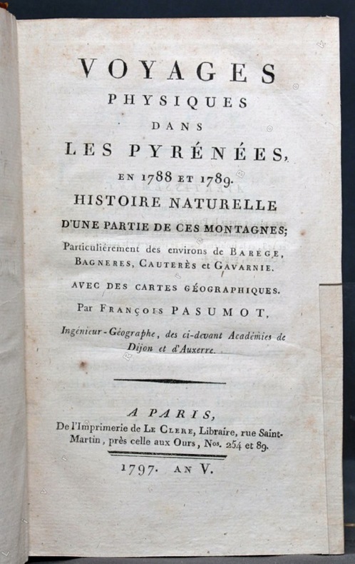
17976471Paris, Le Clere, 1797. In-8 de [4]-XXIV-420-[4] p., plein veau marbré, dos lisse orné de filets et fleurons dorés, étiquette de titre rouge.
17318782Paris, F. G. Quillau, 1731. 2 volumes grand in-4 de [2]-VIII-XXIV-478-[4] et [2]-VI-524 pages, pleine basane brune, dos à nerfs épidermés, manque la coiffe inf. du second volume. Rousseurs et brunissures.
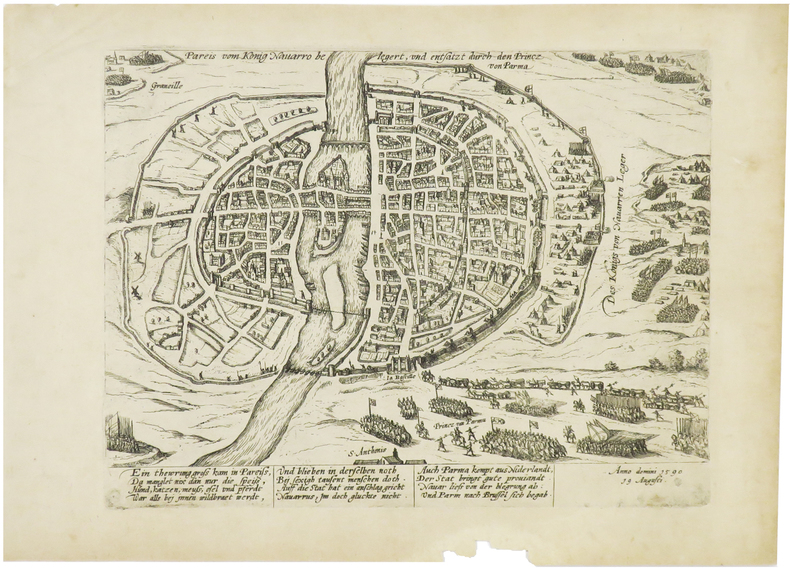
1590LBW-65151590?. 210 x 276 mm.