BEAURAIN, JEAN de.Livre Rare Book
Collins MapsBiblio.com
Collins Nicholson Waterways Guides Grand Union Oxford & the South East: Waterways Guide 1
000836379XNew. Brand new and still unused unknown

Jubilee Books · États-Unis1 503,50 $US≈ 1 272,11 €
11 984 résultats
178358727(Potsdam, 1783-85). 4to. (36 x 29 cm.). 4 portfolios in hcalf with ties. Gilt titlelabels on upper boards. Containing maps to all 4 campaigns. 64 (of 70 ?) folded maps in folio, partly handcoloured. Occasionally faint scattered brownspots, but generally clean.
(Potsdam, 1783-85). 4to. (36 x 29 cm.). 4 portfolios in hcalf with ties. Gilt titlelabels on upper boards. Containing maps to all 4 campaigns. 64 (of 70 ?) folded maps in folio, partly handcoloured. Occasionally faint scattered brownspots, but generally clean.
(Potsdam, 1783-85). 4to. (36 x 29 cm.). 4 portfolios in hcalf with ties. Gilt titlelabels on upper boards. Containing maps to all 4 campaigns. 64 (of 70 ?) folded maps in folio, partly handcoloured. Occasionally faint scattered brownspots, but generally clean.
000836379XNew. Brand new and still unused unknown
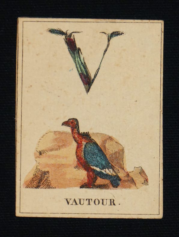
vd1413Paris, Bellavoine, libraire, quai des Augustins, N° 37 Coups de coeur de Bernard, Sélection Abraxas-libris Cartes à jouer Rarissime et délicat ensemble de cartes alphabétiques datant des années 1820. Une carte de titre gravée et vingt-cinq cartes d’alphabet gravées à l’eau-forte et coloriées à la main. Une large initiale faite de fleurs et de feuillages occupe presque la moitié de la carte, le reste est illustré d’un animal, sur fond d’herbe verte, dont le nom est placé en pied. Parfaitement conservé et complet. Minime fente sur le bord du couvercle de la boîte d’origine. Les cartes ont été anciennement appliquées sur une planche d’où une petite trace au revers. (7,3 x 5,3 cm). 26/26 cartes gravées, dont 25 mises en couleurs à la main, coins carrés, dos muets : emboîtage cartonné illustré de l’éditeur, avec couvercle, recouvert de papier rose ; mis à part l'usure du temps, les cartes sont en très bon état. Livraison a domicile (La Poste) ou en Mondial Relay sur simple demande.
1840598DG(um 1840). Kol. Lithografie. Bildgrösse: 20,2 x 30,7 cm. Blattgrösse: 28,5 x 38 cm. + Wichtig: Für unsere Kunden in der EU erfolgt der Versand alle 14 Tage verzollt ab Deutschland / Postbank-Konto in Deutschland vorhanden +, bild
Mappa di Roma del XVII secolo, incisa a Roma da Antonio Barbey e pubblicata da Domenico de Rossi.Si basa sulla grande pianta murale di Giovan Battista Falda, ma mostra con particolare cura gli interventi urbani sotto il pontificato di papa Innocenzo XII, tra i quali la dogana di mare a Ripa Grande (1694). Sono inoltre contenute nella pianta una serie di interessanti note e i nomi delle ville e vigne entro le mura della città.Comprende un elegante cartiglio con titolo e stemma in alto, e un secondo cartiglio con un lungo elenco che individua 464 luoghi di interesse nella Città Eterna.La mappa è orientata a nord-est in alto e comprende siti antichi e moderni. "I lotti edificati sono campiti con puntinato e vengono indicati i nomi di molte strade. L'impostazione generale e vari dettagli denotano la derivazione di questa pianta dalla grande del Falda cui il Barbey apportò però numerosi aggiornamenti. Sono infatti riportati i nuovi interventi di Innocenzo XII tra i quali la dogana di mare a Ripa Grande (1694). Sono inoltre contenute nella pianta una serie di interessanti note e i nomi delle ville e vigne entro le mura della città. In basso a sinistra è scritto Ant. Barbey Sculp. ed a destra Domenico de Rossi [...] l'anno 1697 il di 25 maggio. Sotto il titolo in alto è riportata la dedica a Mons. Ranuccio Pallavicino Governatore di quest'alma Città e vice Camerlengo [...] Innocenzo XII felicemente regnante. Sui due lati legenda con 464 numeri di rimando ed elenco dei XIV rioni, e, in basso a destra, l'indice delle chiese di Roma" (cfr. Marigliani p. 253). Incisione in rame con bellissima coloritura a mano, alcune pieghe di carta perfettamente restaurate, per il resto in buono stato di conservazione. Rara. Bibliografia Frutaz n. 162, Scaccia Scarafoni n. 206, Huelsen n. 135; Marigliani n. 159. Map of Rome from the 17th century, engraved in Rome by Antonio Barbey and published by Domenico de Rossi. It is based on the large wall map by Giovan Battista Falda, but shows with particular care the urban interventions under the pontificate of Pope Innocenzo XII, including the sea customs house at Ripa Grande (1694). The map also contains a number of interesting notes and the names of the villas and vineyards within the city walls. It includes an elegant cartouche with title and coat of arms at the top, and a second cartouche with a long list identifying 464 places of interest in the Eternal City. The map is oriented north-east at the top and includes ancient and modern sites. Built-up lots are dotted and the names of many streets are indicated. The general layout and various details indicate that this map derives from Falda's great map, to which Barbey however made numerous updates. In fact, the new interventions of Innocent XII are shown, including the sea customs house at Ripa Grande (1694). The map also contains a series of interesting notes and the names of the villas and vineyards within the city walls. At lower left is written Ant. Barbey Sculp. and on the right Domenico de Rossi [...] the year 1697 the 25th of May. Under the title at the top there is the dedication to Monsignor Ranuccio Pallavicino Governor of this great City and Vice Camerlengo. On both sides a legend with 464 reference numbers and a list of the XIV districts, and, at the bottom right, the index of the churches of Rome (cf. Marigliani p. 253). Copper engraving with fine later hand colour, few repaired paper folds, otherwise in good condition. Rare. Bibliografia Frutaz n. 162, Scaccia Scarafoni n. 206, Huelsen n. 135; Marigliani n. 159.
Rara pianta a proiezione verticale, orientata con il nord in alto. Incisa da Filippo Troiani per l'editore Tommaso Cuccioni. A sinistra rubrica: Indice de' principali edifizi di Roma moderna. A destra: Indice degli avanzi de' monumenti antichi posti nelle loro Regioni. "Stampata in quattro fogli. In basso notizia che cita il nome del pontefice Gregorio XVI (1830-1846), da cui la datazione al 1840 circa. Nella sua accurata rappresentazione della città il Troiani tenne certamente a riferimento la pianta del Censo edita una decina d'anni prima ma ancora di fatto attuale. In alto a sinistra dedica ad Agostino Feoli, amministratore generale della Banca Romana" (cfr. Marigliani, 2007, pp. 346-347). Acquaforte, stampata su quattro grandi fogli, tagliati, applicati su tela coeva e più volte ripiegati ad astuccio, piccole ossidazioni, per il resto in buono stato di conservazione. Bibliografia Scaccia Scarafoni (1939): n. 289; Frutaz (1962): n. 196; Marigliani (2007): pp. 346-347, n. 279. Rare vertical projection map, oriented with north at the top. Engraved by Filippo Troiani for the publisher Tommaso Cuccioni. On the left heading: Indice de' principali edifizi di Roma moderna. On the right: Indice degli avanzi de' monumenti antichi posti nelle loro Regioni. Printed in four sheets. At the bottom news that mentions the name of Pope Gregory XVI (1830-1846), hence the dating to about 1840. In its accurate representation of the city Troiani certainly held to reference the map by Census edited a decade earlier but still current. At the top left dedication to Agostino Feoli, general administrator of the Banca Romana (see Marigliani, 2007, pp. 346-347). Etching, printed on four large sheets, cut, applied on original canvas and folded several times to a case, small oxidation, otherwise in good condition. Literature Scaccia Scarafoni (1939): n. 289; Frutaz (1962): n. 196; Marigliani (2007): pp. 346-347, n. 279.
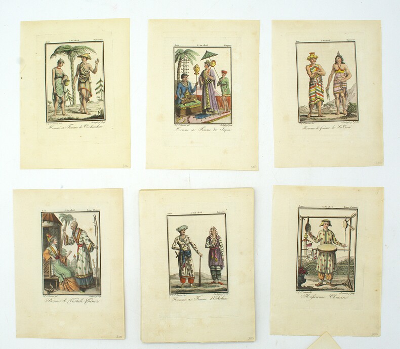
1806PHO-1894Paris, Madame veuve Hocquart, 1806, in-8, sous étui, 123 planches (160) en couleurs, gravées par Lachaussée Jeune, de costumes d'Europe (50 sur 80), d'Asie (34 sur 36), d'Afrique (18) et d'Amérique (21 sur 22), accompagnées de 5 cartes en couleurs (Amérique septentrionale, Amérique méridionale, Afrique, Asie, Europe, toutes datées de 1806, sur 6), manque les 4 frontispices, tache sur une planche sinon aucun défaut.
1812117961812 toile saumon. (un manque de qq. cms à 1 des pliures de la f. 4). Carte en 6 feuilles, 164x 164 cms, P. P.A.F. Tardieu, 1812,
Bella tavola topografica di Roma che riporta il tracciato degli antichi acquedotti romani. Il contenuto della tavola è dichiarato in alto a sinitra: "Dichiarazione delle note della Tavola: A. Mura odierne di Roma B. Mura di Roma anteriori all'Imperatore Aureliano Aquedotto arcuato della Marcia, Tepula, e Giulia Aquedotto arcuato della Claudia e Anione Nuovo Archi Neroniani Archi Antoniniani Aquedotto sostruito Aquedotto sotterraneo Rivo sotterraneo, porzionario delle acque Circonferenza delle Regioni antiche di Roma Nota delle Vie antiche Le rimanenti note son dichiarate o nella Tavola, o nella Spiegazione consecutiva della medesima Piedi Antichi Romani"Le tre "figure" sono disegni tecnici che rappresentano le sezioni e il funzionamento degli antichi acquedotti. La tavola è la n. XXXVIII del tomo I delle Antichità Romane, prima edizione del 1756 edita da Bouchard e Gravier. Meravigliosa prova, ricca di toni, impressa a inchiostro bruno su carta vergata coeva con la tipica filigrana del “doppio cerchio e giglio con lettere CB” (Robison 33), con pieni margini, in ottimo stato di conservazione. A topographical map of Rome depicting the paths of the ancient aqueducts. The inscription "Dichiarazione delle note della Tavola", explains the contents that include named walls of Rome and subterranean aqueducts as well as identifying footprints of ancient remains."Dichiarazione delle note della Tavola: A. Mura odierne di Roma B. Mura di Roma anteriori all'Imperatore Aureliano Aquedotto arcuato della Marcia, Tepula, e Giulia Aquedotto arcuato della Claudia e Anione Nuovo Archi Neroniani Archi Antoniniani Aquedotto sostruito Aquedotto sotterraneo Rivo sotterraneo, porzionario delle acque Circonferenza delle Regioni antiche di Roma Nota delle Vie antiche Le rimanenti note son dichiarate o nella Tavola, o nella Spiegazione consecutiva della medesima Piedi Antichi Romani "Inset are technical drawings of aqueduct mechanisms. This is the plate XXXVIII of tome I of Antichità Romane, first edition by the French publisher Bouchard and Gravier in 1756. A great impression, printed with brown ink on contemporary laid, strong, paper with “double encircled fleur-de-lys with letter CB” watermark (Robison 33), with margins, perfect conditions. Wilton-Ely, 352; Focillon 217
165978854( 1659]. 39,5 x 53,5, Blattgröße 41 x 55,5. Unter weißem Passepartout mit schwarzer Linieneinfassung.
1793LBW-65751793. 65 x 46 cm ; encadrement de bois doré moderne.
1780LBW-6561[vers 1780]. 53 x 70,5 cm.
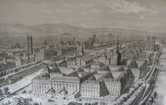
2167Paris, Typographie Charles de Mourgues Frères, successeurs de Vinchon, Imprimeurs de la Préfecture de la Seine, 1858. In-Plano - 49 x 67 cm. Broché sous couverture (restaurée) ocre, dos en toile verte, impression en noir sur le premier plat. 2 p, 34 pl. Atlas comprenant 34 planches, dont certaines dépliantes et en couleurs : 4 plans historiques (Palais de Justice vers 1500, en 1754 d'après Delagrive, en 1772 d'après Jaillot et en 1790 d'après Verniquet), 4 planches pour l'état du Palais en 1838 et 27 planches correspondant aux divers projets de reconstruction et d'agrandissement de la Restauration au Second Empire. Rare exemplaire, répertorié seulement à la BnF et à la British Library.
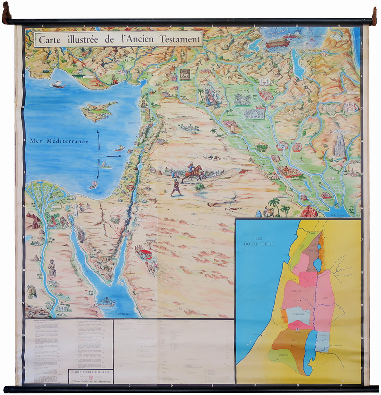
1950LBW-7220Hambourg, Éditions Ewald Becker, [circa 1950]. En 4 feuilles jointes formant une carte de 1,70 x 1,66 m ; montée sur toile, entre deux baguettes de bois avec liens de cuir.
LBW-4005[circa 1761]. 365 x 435 mm.
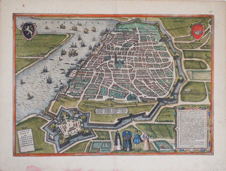
1572LBW-3249[Cologne, 1572]. 338 x 479 mm.
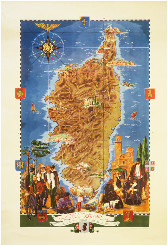
1950LBW-8062Casablanca, Éditions A.F.R.I.P., [circa 1950]. Lithographie en couleurs de 815 x 520 mm.
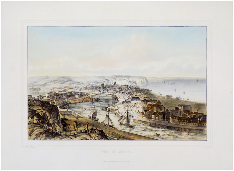
1846LBW-6801Paris, Wild, 1846. 445 x 568 mm.
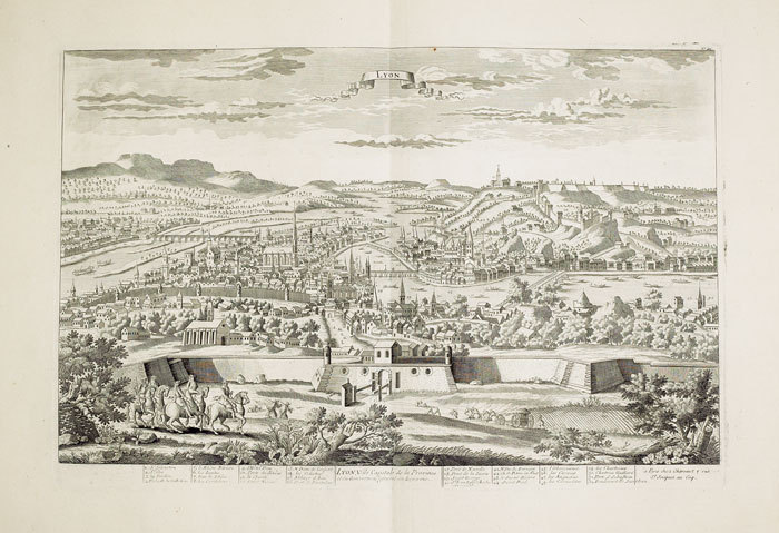
1760LBW-434Paris Chéreau 1760 circa 340 x 512 mm.
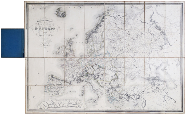
1855LBW-6418Paris, Victor Clérot, 1855. En 32 sections montées sur toile et pliées, formant une carte de 0,97 x 1,37 m ; montée dans une reliure en demi-chagrin bleu nuit avec titre en lettres dorées sur le premier plat.
1950LBW-8449[1950]. 645 x 495 mm.
1552LBW-6930Paris, [1552-1756-milieu du XIXe]. En 21 sections montées sur toile et pliées, formant un plan de 694 x 991 mm ; étiquette au dos de l'éditeur Charles Simonneau.
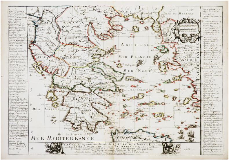
1686LBW-7597Paris, chez l'autheur, 1686. 373 x 539 mm.