SPON M:Livre Rare Book
11 984 résultats
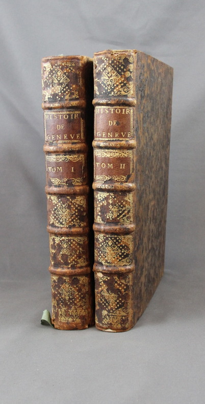
17302358A Genève, Chez Fabri & Barrillot, 1730. 2 volumes in-4 de XV-556-[10], 518 pages + 2 grandes planches dépliantes et 1 carte. Plein veau marron moucheté, dos à nerfs ornés de fleurons et roulettes dorés, pièces de titre et tomaison de maroquin havane, tranches rouge.
New New English Original bdg. Dust wrapper. In publisher's special box. 4to. (1934, [4] p.), color and b/w ills. A journey through maps from the Ottoman world to the Republic of Turkey. From Constantinople to Istanbul between the 15th and the 20th centuries. The cartographic collection of Erhan Öner. 4 volumes set. A project of passion and patience: For four decades Erhan Öner has been painstakingly collecting maps of Turkey, assembling a cartographic collection that is now one of the largest and most comprehensive of the area. His maps range in date from the 15th century, the early days of the Ottoman Empire, through to the 20th century and the early days of the Republic, and encompass historical, military, marine and archaeological maps, and even postcards with maps on them. Examples by the renowned cartographers Abraham Ortelius, Gerardus Mercator, Jodocus Hondius, Homann Heirs, Freres Lotter, Visscher Family, Sanson Family, John Speed and Frederick de Wit are among the highlights. A project of passion and patience, Öner's collection is finally being published in a four-volume catalogue. Displaying as many as 1,500 maps on 2,000 pages, it will be an important reference work for academics, researchers and fellow collectors. At the same time it is a visual feast, with beautiful illustrations, engravings and vignettes. Contents: Vol. 1: HISTORICAL MAPS OF TURKEY. 15th - 16th Centuries, 17th Century, 18th Century, 19th Century, 20th Century. TURKEY IN EUROPE. Vol. 2: REGIONAL MAPS. Black Sea, Thrace, Sea of Marmara Dardanelles, Aegean Archipelago. Mediterranean Sea, Central, Eastern and South East of Turkey,Middle East, Serial. OTTOMAN VILAYETS AND SANCAKS Postcard Maps, Yumni Maps. Other Vilayet Maps PORT PLANS. RAILWAYS. RELIGION RELATED MAPS, THE RETREAT OF THE TEN THOUSAND MAPS. GEOLOGICAL MAPS. POSTCARD MAPS. CLIPPINGS. Vol. 3: MILITARY MAPS. War and Peace Maps and Plans Maps of Erkan-¿ Harbiye. Harita Umum Müdürlügü, Milli Müdâfaa Vekâleti. Harita Genel Müdürlügü, Harita Genel Direktörlügü Maps of War Office & Ordnance Survey Office, Henri & Richard Kiepert Maps. ATLASES. Vol. 4: ISTANBUL NECIP BEY MAPS OF ISTANBUL: Societe Anonyme, Ottomane d'etudes et d'entreprises Urbanies. KESFlYÂT VE ¿NSAAT TÜRK ANON¿M S¿RKETl, TURKISH SURVEY AND CONSTRUCTION COMPANY UNFINISHED MAP OF ¿STANBUL, INSURANCE PLANS OF ISTANBUL. ARCHEOLOGICAL MAPS. OTHER CITIES. INFORMATION ABOUT CARTOGRAPHERS. ENGRAVERS AND BOOK PUBLISHERS.
pp. [12], 915, (41) [Index] + Engraved frontis title page (drawn by Joseph Mulder and engraved by Willem de Broen) showing an enormous globe, the author and allegorical figures; Plus + Folding engraved map of the Old World (31 x 42 cm.) - "Orbis Terrarum Veteribus Cogniti Tabula" by Christoph CELLARIUS, showing not only Europe, Africa and Asia, but also Australia; and four woodcut decorated initial letters. Regular title printed in red and black with the Wetstein's engraved whetstone publisher's device. Latin text in roman types, with extensive passages in italic and Greek, and occasional Hebrew and fraktur. 4to. 205 mm. Old damp stain on the first few leaves. The early full leather binding is quite worn. ** The front pastedown bears an early autograph ownership - apparently that of Noel Antoine Pluche (1688-1761), noted French naturalist and writer. Full Title: Nicolai Gurtleri Origines Mundi & in eo Regnorum, Rerumpubl. Populorum; horumque Duces, Migrationes, Dii, Religio, Mores, Instituta, Res gesta, civiles, sacra, bellica. Referuntur omnia ad loca & tempora sua, & ex ipsis fontibus, fereque propriis Historicorum verbis ad modum Historiae Universalis, cum maxime Ecclesiasticae reprasentantur. Cum Indicibus necessariis, iisque locupletissimis. First and only edition of a detailed history of the ancient world, covering and comparing the cultures, religions, governments, (civil and ecclesiastical) legal systems, etc. of societies throughout the Old World. After a brief discussion of the pre-diluvian world, it covers the ancient Middle East, Africa, Asia and Europe country by country or region by region, citing both biblical and classical sources. The Cellarius map appears to be based on the 1664 map of the same title by Johannes Strubius (Shirley 434, in the same projection and showing the same regions, but not including Australia), but its more accurate and up-to-date cartographic data appears to have been taken from one of the world maps in two hemispheres that were common from at least 1658 (Visscher's, Shirley 406). As in those maps, the coast of Australia shows a small break at 30 degrees south latitude. Cellarius (1638-1707) had produced a series of historical maps for his Notitia Orbis Antiqui, first published at Leipzig in 1701, and the present map may be based on one from that book. A detailed ancient history, with an attractive and unusually accurate folding map of the Old World. SCARCE. NCC (5 copies); OCLC WorldCat (7 copies); STCN (1 copy). **PRICE JUST REDUCED! W153
166444306Amsterdam omkr. 1664. 42,5x53. Tæt skåret indtil pladenranden, men intet tab. Kobberstukket og i samtidig håndkolorering. Kartouche med skovarbejdere, kompasrose, skibe i søen.orienteret med øst øverst.
Amsterdam omkr. 1664. 42,5x53. Tæt skåret indtil pladenranden, men intet tab. Kobberstukket og i samtidig håndkolorering. Kartouche med skovarbejdere, kompasrose, skibe i søen.orienteret med øst øverst.
182616419Paris, Firmin-Didot, 1826. 6 volumes in-8 de [4]-LXXVIII-[2]-418; [4]-524; [4]-552; [4]-511; [4]-624; [4]-481 pages, demi-basane chamois, dos lisses ornés de fers romantiques. Bel exemplaire non rogné.
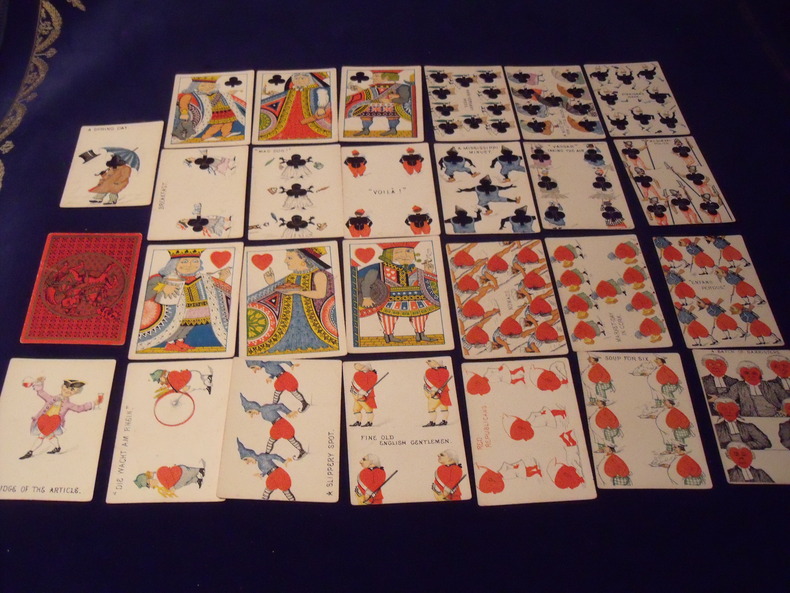
9631878Cartes à transformation - 1878 - 52 cartes + 1 carte blanche - complet -Illustration :C.E.Carryl - Adaptation humoristique du portrait Américain - Fabricant :Tiffany And Co - New York - U S A - Jeu légèrement usé - sans boite d 'origine.
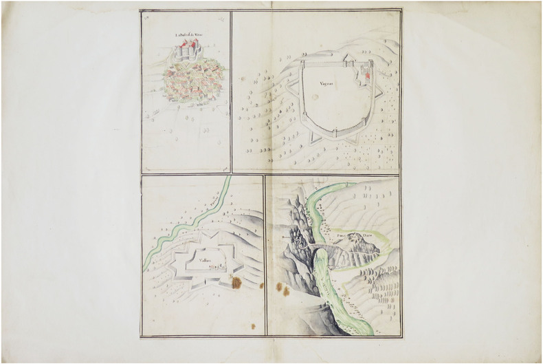
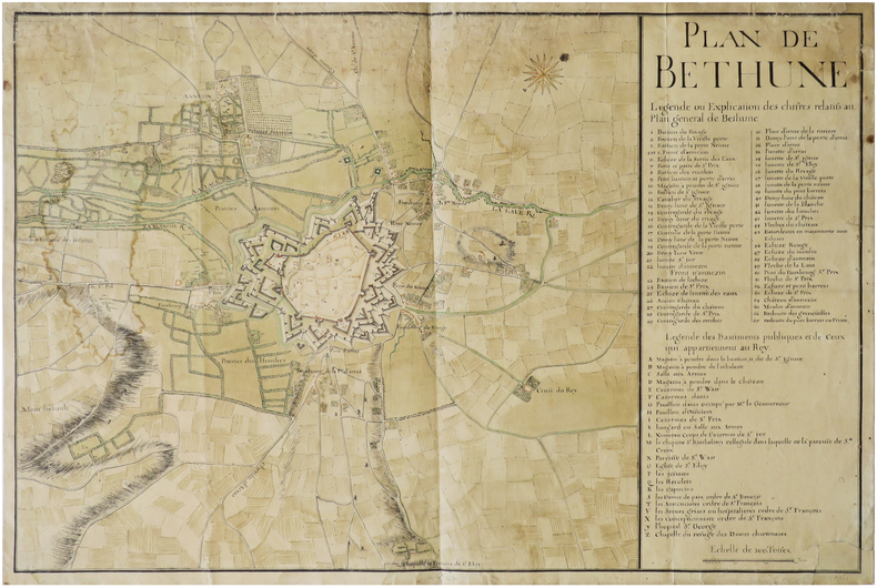
LBW-8636[fin du XVIIe siècle]. Dessin sur une feuille de 445 x 350 mm, elle-même montée sur une feuille de 490 x 740 mm (montage du XVIIIe siècle).
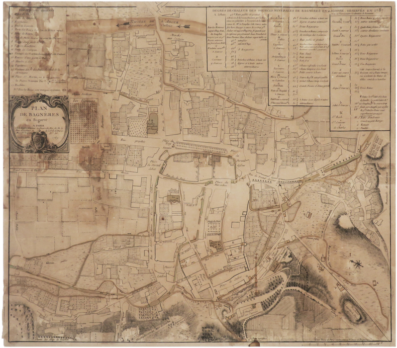
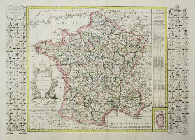
1789LBW-7611Paris, Lattré, 1789. 423 x 476 mm.
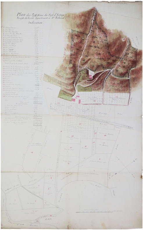
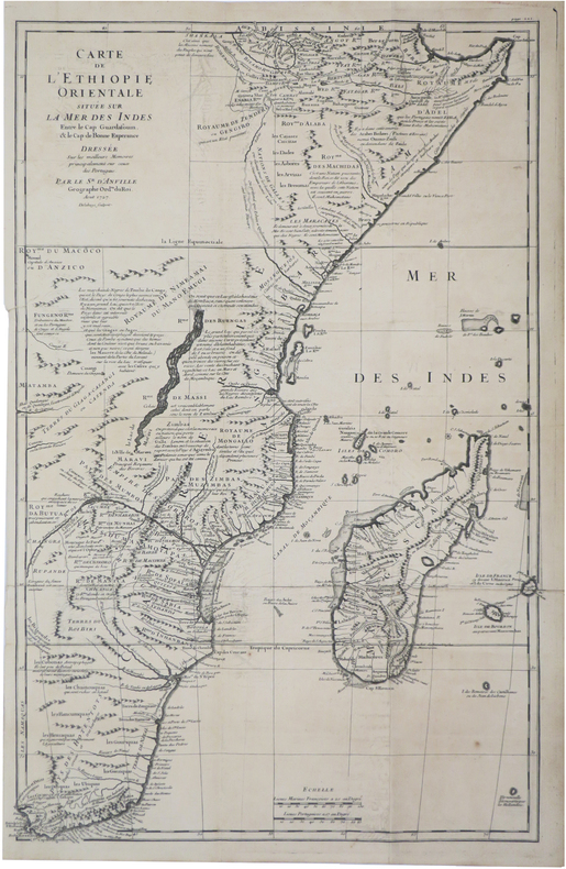
LBW-7458[XVIIIe siècle]. En 3 feuilles jointes de 58,5 x 96 cm.
1850LBW-7450[vers 1850]. En 18 sections montées sur toile et repliées, formant une carte de 69 x 102,5 cm ; sous étui de papier marbré bordeaux, étiquette de titre de papier vert.
LBW-9026[XVIIIe siècle]. 375 x 340 mm, sur une feuille de 535 x 430 mm.
1905LBW-8027[circa 1905]. Chromolithographie de 345 x 439 mm, montée sur toile.
1700LBW-6582[vers 1700]. 58 x 86 cm, sur 2 feuilles jointes.
LBW-6595[milieu du XVIIIe siècle]. 51 x 76,5 cm, sur une feuille de 53,5 x 79 cm.
Mappa del mondo tratta dall’Atlante Novissimo, edito da Giambattista Albrizzi, nel 1740 circa; una delle più interessanti e decorative carte del mondo che compaiono in un Atlante della metà del Settecento italiano. Elegante esempio della scuola italiana di cartografia commerciale; la decorazione intorno alla carta è stata realizzata da Giovanni Battista Piazzetta (1682-1754 ca.), la cui influenza è visibile nella successiva opera di Antonio Zatta e di altri editori veneziani del ‘700. Il contenuto cartografico della carta, che è tratto dal Mappe Monde di De l'Isle (1700), è circondato da allegorie femminili in ogni angolo che rappresentano i quattro continenti, delle quali il Piazzetta è il disegnatore e Giuliano Giampiccoli l’incisore. La mappa comprende una sfera armillare, le rotte dell'esploratore, la sconosciuta costa nord-occidentale dell'America, le proiezioni incomplete dell'Australia (ancora attaccata alla Nuova Guinea) e della Nuova Zelanda, la congiunzione della massa della Terra Asiatica che si estende verso l'Alaska e molti altri miti cartografici e proiezioni errate. Acquaforte, finemente colorata a mano, in ottime condizioni. Map of the World taken from Atlante Novissimo, published by Giambattista Albrizzi, circa 1740. Globe with allegorical representations of the four continents in the corners, surmounted by an armillary sphere. Striking example of Albrizzi's double hemipshere map of the World, one of the most interesting and decorative world maps to appear in a mid-18th Italian Century Atlas. An elegant example of the Italian school of commercial cartography, the art work around the map having been done by important Italian artist Giovanni Battista Piazzetta (ca. 1682-1754), whose influence can be seen in the subsequent work of Zatta and others. The cartographic content of the map, which is drawn from De l'Isle's Mappe Monde (1700), is secondary to the very beautiful, serene female figures in each corner representing the four continents. G. Batta Piaceta is shown as Inventor (left), and Guliano Giampicoli, as engraver (right). The map includes a finley executed armillary sphere, explorer's routes, unknown NW Coast of America, incomplete projections of Australia (still attached to New Guinea) and New Zealand, conjectural Asian Land mass extending toward Alaska and many other cartographic myths and misprojections. Copperplate with fine later hand colour, very good condition.
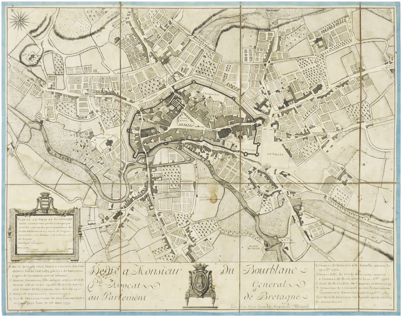
LBW-3972Rennes, Ollivault, [circa 1770]. En 8 sections montées sur toile bordée de soie bleue et pliées, formant un plan de 371 x 475 mm.
Immaginiaria e curiosa veduta panoramica di Roma, presa dal Gianicolo. Del panorama reale vengono rispettati e riprodotti soltanto i monumenti essenziali: ponte S. Angelo, che è anche l'unico ponte disegnato, Castel S. Angelo e qualche cupola a caratterizzare lo sfondo.Stampata in Francia, dall'editore e stampatore Gosselin.Litografia, finemente colorata a mano, piccoli strappi restaurati nella parte superiore destra, lievi fioriture ai margini, nel complesso in buono stato di conservazione. Immaginiaria e curiosa veduta panoramica di Roma, presa dal Gianicolo. Del panorama reale vengono rispettati e riprodotti soltanto i monumenti essenziali: ponte S. Angelo, che è anche l'unico ponte disegnato, Castel S. Angelo e qualche cupola a caratterizzare lo sfondo.Stampata in Francia, dall'editore e stampatore Gosselin.Litografia, finemente colorata a mano, piccoli strappi restaurati nella parte superiore destra, lievi fioriture ai margini, nel complesso in buono stato di conservazione.
1727LBW-8135Août 1727. 644 x 415 mm.
Rarissima veduta panoramica della città da Monte Mario, edita a Francoforte da Johann Azelt verso la fine del XVII secolo. "In questa stampa gli edifici sono ben poco riconoscibili ed il Tevere segue un errato percorso sotto Trinità dei Monti, riproponendo un errore comune a molti panorami di quest'epoca editi nel nord Europa ed evidentemente copiati uno dall'altro.. Il prototipo iniziale per questa tipologia di panorami è identificabile nel panorama inciso da Israel Silvestre nel 1642" (cfr. Marigliani p. 199). Incisione in rame, in perfetto stato di conservazione. Rarissima. A very rare panoramic view of the city from Monte Mario, published in Frankfurt by Johann Azelt towards the end of the 17th century. In this print the buildings are hardly recognisable and the Tiber follows a wrong path under Trinità dei Monti, repeating an error common to many panoramas of this period published in northern Europe and evidently copied from one another. The initial prototype for this type of panorama can be identified in the panorama engraved by Israel Silvestre in 1642"(cf. Marigliani p. 199). Copper engraving, in perfect condition. Very rare. Marigliani, "Le Piante di Roma nelle collezioni private" p. 199, 104 (erroneamente attibuita).
1816LBW-3688Paris, Basset, 1816. 477 x 680 mm.
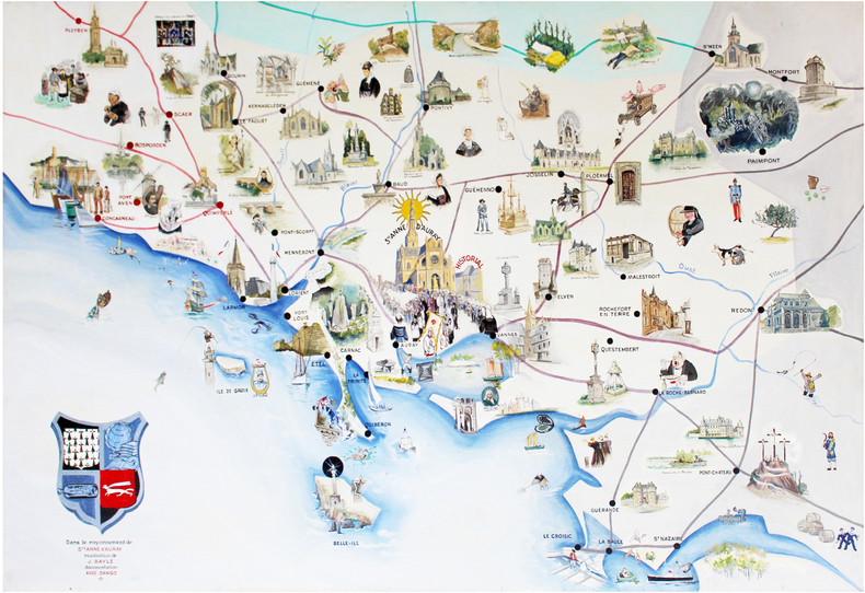
1950LBW-6571[vers 1950]. 1 m x 1,5 m, sur panneau d'Isorel.
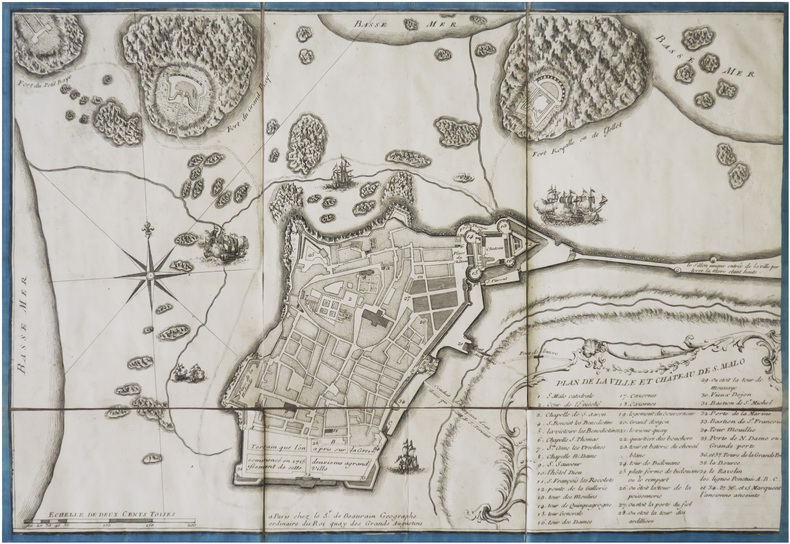
LBW-4015Paris, Sr. de Beaurain, [circa 1730]. En 6 sections montées sur toile bordée de soie bleue et pliées, formant un plan de 284 x 420 mm.
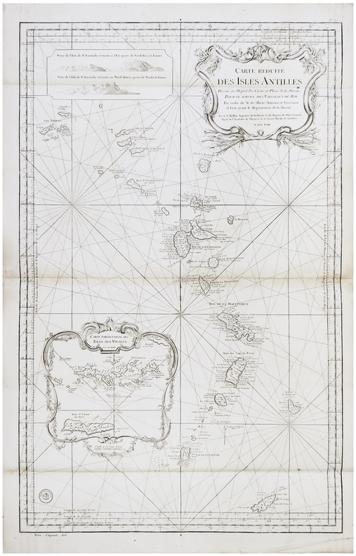
1758LBW-62851758. 890 x 565 mm.
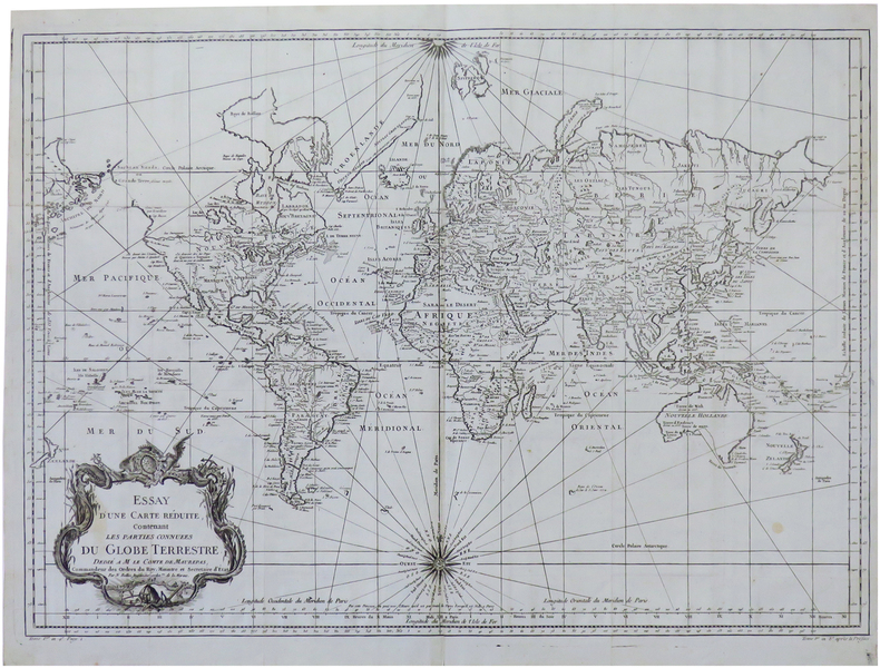
1748LBW-68081748 [1780]. 500 x 695 mm, replié, sur papier bleuté.