11 983 résultats
Large Folio. Coloured copper engraving.
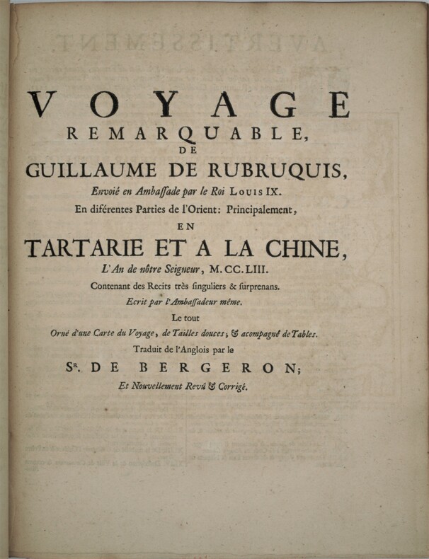
1735PHO-2542 Volumes en 1, grand in 4° (285 x 215 mm) relié plein veau époque, dos à nerfs , titre imprimé en rouge et noir. PREMIERE EDITION SOUS CE TITRE. L'ouvrage, illustré de 8 gravures à mi-page est divisé en 11 parties, toutes relatant des voyages faits en Tartarie et en Chine du XII au XV siècles (voyage de Tudele, de G. de Rubruquis, de Marco Polo,....) Quelques mouillures et feuillets roussis, habiles restaurations (chardenat,1548) (cordier,1941)
1720KART0098Nürnberg, Homann (um 1720). altkol. Kupferstichplan, Gesamtmaß: 61x 53 cm, Ansicht: 58x49 cm, in 24 Teilstücke zerschnitten u. auf Leinwand aufgezog., kartenmäßig gefalt., Leinen an den Rändern etw. fransig, auf Rückseite zwei Felder beschriftet. Grundriss der Innenstadt mit den angrenzenden Vorstädten Leopoldstadt, Alsergrund, Josefstadt, Neubau, Margareten, Wieden und Erdberg sowie der noch unregulierten Donau und deren Auen; in re. ob. Ecke Kartusche mit Erklärung von Häusern, Kirchen etc.; unt
1730GRAP0191Nürnberg, Homann ca. 1730. flächenkolorierte Kupferstichkarte, Bildausschnitt: 57,2x48,2 cm, Außenmaß: 68,7x60 cm; schwarze Holzleiste, Leiste etwas beschabt, eine Ecke leicht abgesplittert. Dekoratives Blatt von Kärnten mit Ansichten der Stadt Klagenfurt, dem Loiblpass und einer Szene vor dem Herzogsstuhl.
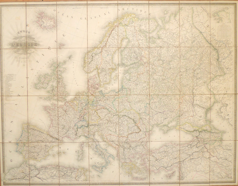
CZC-12948Carte Physique et Politique de l'Europe par J. Andriveau et Goujon 1849. Paris rue du Bac Circa 1849 Vue continentale complète Cette magnifique carte de l'Europe, intitulée "Carte Physique et Politique de l'Europe", a été créée par le célèbre cartographe français E. Andriveau-Goujon et publiée vers 1849. Il représente les feuilles occidentales et orientales sous forme de feuilles détachées, mais qui peuvent être assemblées sans problème pour former une vue complète et étendue de l'ensemble du continent européen. La carte a été gravée par P. Flahaut et publiée par l'estimée maison parisienne Chez J. Andriveau-Goujon dans le cadre du célèbre "Atlas de Choix", une compilation des meilleures cartes géographiques anciennes et modernes soigneusement sélectionnées par l'éditeur. Contrecollée sur tissu, et mesurant 102x132cm, cette carte offre une représentation remarquable de l'Europe telle qu'elle était au milieu du 19e siècle. La carte couvre l'ensemble de l'Europe, des côtes occidentales du Portugal et de l'Espagne aux frontières orientales de la Russie et de la mer Caspienne. Elle comprend également l'Islande et certaines parties de l'Afrique du Nord et du Moyen-Orient. Les gravures complexes et précises reflètent les compétences cartographiques avancées de l'époque, présentant une multitude d'informations géographiques et politiques avec clarté et élégance. La carte est magnifiquement colorée à la main, utilisant des teintes douces et pastel pour délimiter les différents pays et régions. Chaque nation est distinctement ombrée, ce qui permet d'identifier facilement les frontières politiques. Les rivières, les chaînes de montagnes et les caractéristiques géographiques importantes sont méticuleusement représentées, mettant en valeur le paysage naturel et politique de l'Europe au milieu du 19e siècle. La carte met également en évidence les principales villes et capitales, démontrant ainsi l'engagement d'Andriveau-Goujon en faveur de l'exactitude scientifique et de l'utilisation pratique. L'un des aspects les plus captivants de cette carte est son cartouche détaillé, situé dans le coin supérieur gauche de la feuille occidentale. Le cartouche porte le titre "Carte Physique et Politique de l'Europe" et est élégamment décoré de fioritures ornementales qui reflètent les normes esthétiques raffinées de l'époque. La présence du nom du graveur, P. Flahaut, atteste du savoir-faire et de la Collaboration nécessaires à la réalisation d'une œuvre cartographique aussi grandiose. Cette carte est un artefact historique de grande valeur, qui reflète les réalités politiques de l'Europe vers 1849. Le milieu du XIXe siècle a été une période de changements territoriaux et politiques importants, et cette carte rend compte de la structure complexe du continent avec une précision remarquable. Son double intérêt pour la géographie physique et politique en fait non seulement une œuvre d'art, mais aussi une ressource éducative inestimable, offrant un aperçu des frontières en constante évolution du continent et de la diversité de ses paysages.
014334Editions de l'Art décoratif 0 In-4 Demi-reliure à coins
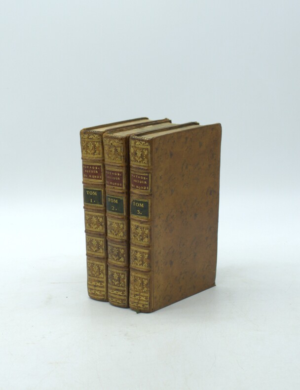
1787PHO-2220Paris, Buisson, 1787. Trois volumes in-8 (198x120mm), xxxii-388pp.-2 pl., 2ff.-366pp.- 8 pl., 2ff.-363pp.- 6pl.. Basane marbrée de l'époque, tranches marbrées, dos à nerfs ornés avec pièce de titre (rouge) et tomaison (verte) mouillure au t2, carte volante.
Coppia di carte geografiche tratte dall'Atlante Novissimo di Antonio Zatta, edito tra il 1779 ed il 1785. Mappamondo a proiezione polare, in due carte a fogli distinti, rappresentazione dell'emisfero terrestre settentrionale e meridionale. Nella lunga didascalia esplicativa al margine inferiore, nel redigere la carta e nel far riferimento alle "terre Antartiche, "in cui fin ora la Geografia non ha il minimo fondamento" si è fatto riferimento alle "più probabili congeture adottando il sistema proposto dal Sig.r Robeto de Vaugundy". É interessante come nella carta siano rappresentate le principali montuosità, con tratteggio da destra a sinistra. Tavole tratte dall’Atlante novissimo, illustrato ed accresciuto sulle osservazioni e scoperte fatte dai più celebri e più recenti geografi. Stampato in quattro volumi da Antonio Zatta tra il 1779 ed il 1785. Atlante fra i più belli e completi mai pubblicati in Italia nel XVIII secolo, l'opera più famosa dello Zatta. L’Atlante Novissimo, come si specifica anche nel titolo, è “accresciuto sulle osservazioni scoperte fatte dai più celebri e più recenti geografi”. Tra le novità più significative vi è la comparsa delle nuove isole scoperte nell'Oceano Pacifico da James Cook e la prima carta italiana della Nuova Zelanda. Le illustrazioni furono ideate e disegnate dai suoi collaboratori Giovanni Marco Pitteri, Anton Friedrich Busching, Pietro Antonio Novelli ed incise da Giuliano Zuliani. Il primo tomo dell’atlante è introdotto da un breve saggio di geografia generale dove l’autore definisce in modo sintetico e preciso gli elementi che compongono i reticoli eclittico ed equatoriale usati nelle tavole. Interessante la sezione dove si sofferma a descrivere il fenomeno della precessione degli equinozi e quello della variazione ciclica dell'obliquità dell'eclittica. Acquaforte, stampata su carta vergata coeva, coloritura coeva dei contorni, in buone condizioni. A polar projection World map taken from the Atlante Novissimo, printed in Venice between 1776 and 1785. The map was issued in Zatta's Atlante Novissimo a monumental 4 volume work and one of the last great decorative atlases. The northern plate, is based on De Vaugondy's map; this is a polar projection covering from the pole to the equator. In North America, the mythical Northwest Passage is shown connecting through the Strait of Anian to Hudson Bay. Lanhotan's Longue River is also shown connecting the Mississippi River with the Pacific.The southeren plate, depicts the Antarctic Hemisphere (south) to the equator and Capt. James Cook's route on his first voyage. New Zealand and the Australian East coast are featured in their entirety for the first time. Plates from the Atlante novissimo, illustrato ed accresciuto sulle osservazioni e scoperte fatte dai più celebri e più recenti geografi. Printed in four volumes by Antonio Zatta between 1779 and 1785. Atlas among the most beautiful and complete ever published in Italy in the eighteenth century, the most famous work of Zatta. The Atlante Novissimo, as also specified in the title, is “increased on the observations made by the most famous and most recent geographers”. Among the most significant innovations there is the appearance of the new islands discovered in the Pacific Ocean by James Cook and the first Italian map of New Zealand. The illustrations were designed and drawn by his collaborators Giovanni Marco Pitteri, Anton Friedrich Busching, Pietro Antonio Novelli and engraved by Giuliano Zuliani. The first volume of the atlas is introduced by a brief essay of general geography where the author defines in a concise and precise way the elements that make up the ecliptic and equatorial grids used in the tables. Interesting is the section where he pauses to describe the phenomenon of precession of the equinoxes and the cyclical variation of the obliquity of the ecliptic. Etching, printed on contemporary laid paper, contemporary outline coloring, in good condition.
197941929Warszawa Warsaw: Pan´stw. Wydawn. Naukowe 1979. 1st Edition. Original black printed portfolio 8vo. Portfolio of seven large folding maps on on 4 sheets of heavy paper 3 are double sided 1 is singled sided. Primarily black and white with some color. Text in Polish. <br> Title translates to “Nazi camps in Poland 1939 - 1945. An Encyclopaedic Reference Book: Maps." Collection of 7 maps each 84 cm x 60 cm 33 x 24 inches produced by Jan Laskowski at the Main Commission for the Investigation of Nazi Crimes in Poland. The maps comprise Volume II of the work; Volume I is a heavily illustrated 676-page book of the same title which we offer separately. <br> The Seven maps all present are: <br> - Map 1 Single Sided: Hitlerowskie obozy na ziemiach polskich w latach 1939 - 1945. “Nazi camps in Poland in the years 1939 - 1945â€. Showing: concentration and extermination camps sub-camps of concentration camps extermination centers POW camps more important sub-camps working divisions commandos and temporary POW camps penal labor camps major labor camps prisons transit camps & ghettos. <br> - Map 2A: Getta na ziemiach polskich w okresie okupacji hitlerowskiej w latach 1939 - 1945 “Ghettos in Poland during the Nazi occupation in 1939 - 1945â€. <br> - Map 2B: Hitlerowskie obozy przejsciowe na ziemiach polskich w latach 1939 - 1945 “Nazi transit camps in Poland in 1939-1945â€. <br> - Map 3A: Hitlerowskie wiezienia i areszty na ziemiach polskich w latach 1939 - 1945 “Nazi prisons and arrests in Poland in 1939 - 1945â€. <br> - Map 3B: Hitlerowskie obozy pracy na ziemiach polskich w latach 1939 - 1945 “Nazi labor camps in Poland in the years 1939 - 1945â€. <br> - Map 4A: Hitlerowskie obozy jenieckie na ziemiach polskich w latach 1939 - 1945 “Nazi POW camps in Poland in 1939 - 1945â€. <br> - Map 4B: Hitlerowskie obozy koncentracyjne i osrodki zaglady na ziemiach polskich w latach 1939 - 1945 “Nazi concentration camps and extermination centers in Poland in 1939 - 1945â€. <br> Maps 2A & 2B have been described as a “Terrifying pair of maps showing the locations of German POW and internment camps in Poland during World War II highlighting the widespread locations of these establishments. In some parts of the map the information becomes so dense that three inset maps are shown. This map was designed by Jan Laskowski and printed in 1979 as part of a work on the Nazi extermination machine produced by PWN Warsaw a state-owned research-focused publishing house in Poland.<br> The map on the front is particularly interesting for its depiction of symbols used to classify internees in German camps. The uppermost of these depictions shows the combinations that can be made for different types of prisoners of different levels of importance. The armbands that would have been worn by these prisoners is shown as well as the prison uniforms. Other details are also shown. <br> The map lists hundreds of sites run by Nazi operators throughout the country. These include concentration camps death camps transitional camps and ghettos. The map is divided according to Poland's voivodeships with a key in the lower left. Names of cities too long to spell are also provided in the lower left. <br> This map was produced during a point in Poland's history during which it was actively revisiting the period during the Second World War. Leading social scientists devoted their time to trying to gather all the living as well as the recorded history of the events of the Holocaust and related atrocities before this information vanished. Leading these efforts particularly during the 1960s and 1970s was the Glówna Komisja Scigania Zbrodni przeciwko Narodowi Polskiemu known as the Chief Commission for the Prosecution of Crimes against the Polish Nation. They were active in publishing maps both for domestic educational purposes and for international remembrance and diplomatic efforts regarding the Holocaust. Jan Laskowski was a leading cartographer who produced a number of maps in this field. <br> These maps were produced as part of a series of maps that purported to combine to form an atlas of all of Hitler's crimes in Poland. Many of the large wall maps produced during this period could only show a fraction of the crimes or only the atrocities committed in one region. Thus a series of maps was needed to show all the points necessary which this present work contributes to. <br> Polish Reinterpretations of the Holocaust: Studying the effects of German occupation in Poland is a delicate subject. While it is certain that Poland suffered at least as badly as any other European nation during the Second World War reinterpretations of the Holocaust in the country have also been used to satisfy nationalistic tendencies. It has become evident to Western observers in the last several years that there is a strong nationalist movement in Poland that seeks to place blame for the Holocaust solely on the shoulders of non-Polish actors a movement originally fostered under Soviet rule. This movement has gone so far as to limit freedom of speech criminalizing with a three-year sentence the suggestion that Poland or its citizens in any form participated in the murders committed by Nazis. As such the term ‘Polish concentration camps’ has been deemed unacceptable with the government-approved term being ‘concentration camps on Polish territory.’ <br> All lines of evidence show that this map 2A & 2B was produced using the most accurate and impartial historical sources. The language on the map is simple naming only ‘Hitler's Atrocities’ and there is no evidence of a clear anti-German bias. However it is impossible to separate this map one of the most important productions of the remembrance movement during this period from the social situation in which it was produced. Maps like these can easily be converted into propaganda instruments and today's Polish leaders most of whom grew up during Soviet occupation will have formed their understanding of the Holocaust through maps like these. <br> Soviet Censorship: While the content of the map appears to have been produced free from bias the map still had to go through Soviet censorship. Mentioning prisoner of war camps in which primarily Soviet troops were interned would have been a prerequisite condition upon which the publication of the map rested. Further the lack of mention of any Soviet killings or camps requires no explanation….The map unlike many later maps makes no differentiation between the populations who suffered at the various camps. This represents the Soviet agenda that all nations suffered fought and won equally which sought to limit divisions in this post-identity state†Ruderman 2022. <br> SUBJECTS: World War 1939-1945 -- Prisoners and prisons German. -- Concentration camps -- Poland. Guerre mondiale 1939-1945 -- Prisonniers et prisons des Allemands. -- Camps d'internement -- Pologne. Obozy koncentracyjne -- Polska -- 1900-1945. OCLC: 830885973. <br> Light shelf wear to portfolio as expected. All maps in pristine condition with normal folds as issued. Very Good Condition. Complete and dramatic BR5 holo2-147-19-'cc. Warszawa (Warsaw): Pan´stw. Wydawn. Naukowe unknown
185095311J & F. Tallis London Edinburg & Dublin 1850-01-01. Leather. Very Good. 1850 Tallis 6 volumes bound into 2 vols 3/4 leather over marbleized boards. 7 hand colored maps 56 plates ownership ink to flyleafs and book dealership pencil. Tight bindings text unmarked. oversized and overweight. Please email for photos. J & F. Tallis, London, Edinburg & Dublin hardcover
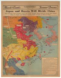
1940209821Los Angeles.: Los Angeles Examiner. 1940. Printed colour pictorial map on a single newspaper leaf 42.3 x 39.9 cms; 54.3 x 42.5 cms sheet archivally laid down on linen slight discoloration to lower centrefold and sheet slightly age-toned but in very good condition. A striking geopolitical map by Los Angeles Examiner artist Howard Burke covering China Japan Southern Russia and the northern part of French Indochina and Siam showing how the "Aggressors Divide China." Areas under Japanese occupation are shown in red and their naval blockade shown by an arc of naval vessels with vivid arrows indicating lines of supply. Text labels including sources of agricultural and raw materials provide a dynamic overview of the geopolitical situation and show the influence of American scientific illustrator and cartographer Richard Edes Harrison who argued for examining geographic issues from multiple perspectives and Los Angeles Times artist Charles Owens. . Los Angeles Examiner. unknown
1806009589London: Printed for Richard Phillips Sold By Souter No. 1 Pater-noster-row. 1806. Book. Very Good. Hardcover. First Edition. Large 4to. A very good "large paper" copy with uncut edges leaf size approximately 285mm x 225mm with a few additional items bound in. Pp. xiv 2 530 ii ii. 16 hand-tinted aquatints of which several folding map plus an additional contemporary hand-coloured map of Ireland as frontispiece. Contents: frontispiece quarto format map - engraved for the Poem of Erin. The folding plate of Dublin shown as the frontispiece in the "Directions for Placing the Plates" has been bound in opposite the first page of text title page dedication prefacecontents errata directions for placing the engravings main body of the text additional page on St. Patrick from "Guide to Knowledge" bound in at rear before the Publisher's adverts cutting from the Times 1842 entitled "Robert Emmet and the Gaoler of Kilmainham" pasted to rear paste-down. Original paper-covered boards with recent pebbled cloth spine to match original with the original paper title-label applied to the spine binding in very good condition. Contents very good the uncut edges are a little worn in places and a couple of a small near-contemporary oval stamps of the "Baptist College Bristol" to the front end paper no other marks. Paper in very good condition without any obvious staining minimal foxing almost completly confined to the tissue guards maps and plates all very good clean and crisp short repaired tear to the edge of page 318 not nearly affecting the text. A very good to fine copy. Printed for Richard Phillips, Sold By Souter, No. 1, Pater-noster-row. Hardcover
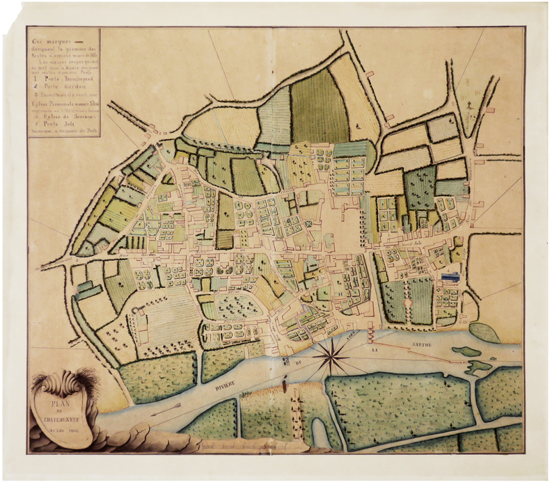
1806LBW-89181806. En deux feuilles jointes formant un plan de 438 x 508 mm, monté sur papier fort.
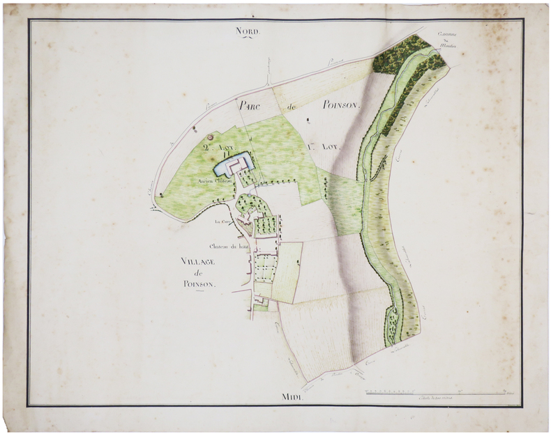
LBW-7456[début du XIXe siècle]. 43 x 55 cm chacune.
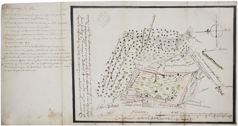
1783LBW-74621783. 24 x 34 cm.
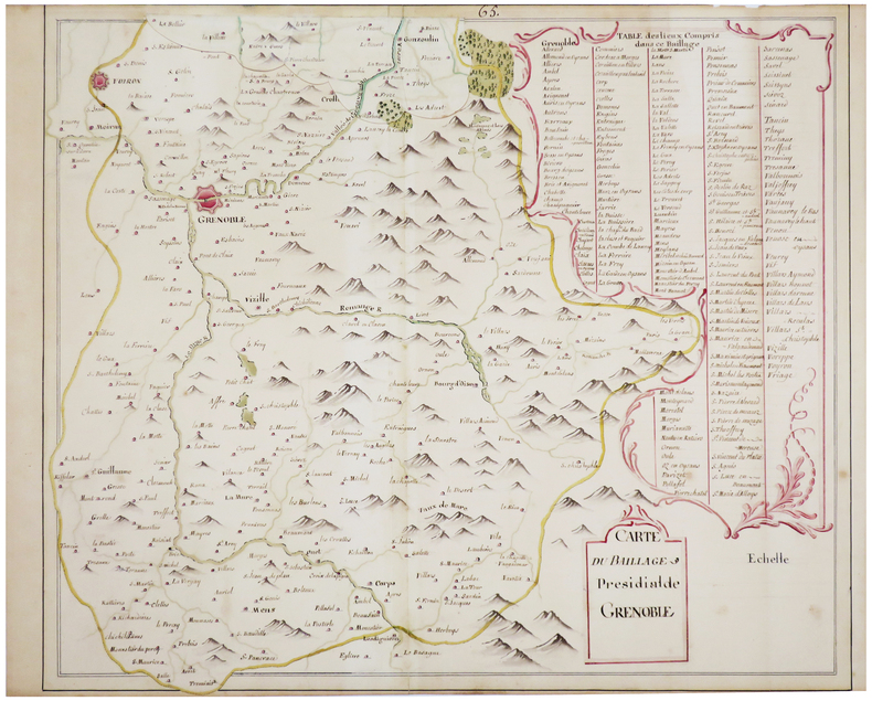
LBW-7468[fin du XVIIIe siècle]. 41 x 49 cm, plus une partie mobile de 7 x 20 cm repliée en haut de la carte.
LBW-6632[fin du XVIIIe siècle]. 61 x 93 cm, sur une feuille de 63 x 95,5 cm.
1790LBW-7464[vers 1790]. 62 x 62,5 cm.
1870LBW-6585[vers 1870]. 27 x 41 cm, sur deux feuilles jointes de 40 x 55 cm.
LBW-6583[XVIIIe siècle]. 50,5 x 64 cm, sur une feuille de 53 x 66,5 cm.
1812LBW-65891812. 24,5 x 29,5 cm, sur une feuille de 29,5 x 34,5 cm.
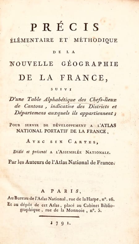
179143624Paris, Bureau de l'Atlas National, Imprimerie du Cercle social, 1791. In-8 de (4)-XXXIX-(1)-240-(2) pp., 2 tableaux et 7 cartes hors texte repliés, basane granitée, dos lisse orné, pièce de titre en maroquin rouge, tranches rouges (reliure de l'époque).
Colour printed map, 765 x 565 mm. Scale 1:1,000,000. On verso aeronautical symbols and world aeronautical chart index. Third edition. - Pilot's map of the Suez region with the 1949 Armistice border, the de facto borders of the State of Israel from 1949 until the Six-Day War in 1967. In addition, the chart shows parts of the Mediterranean, the Gulf of Suez and the Gulf of Aqaba, and details major cities including Cairo, Port Said, al-Mansura, al-Fayyum, and Jerusalem, as well as main roads, wadis, and landmarks such as Saint Catherine's Monastery on Mount Sinai. - Very well-preserved.
190576S.l.n.d. (1718) grande carte in-4 oblongue (37 x 82 cm), contours rehaussés de couleurs, avec une échelle en verges dans le coin droit, en feuille. Traces de mouillures, petit manque de papier sans gravité.