LECLERC (Sébastien).Livre Rare Book
11 983 résultats
1690LBW-5455Paris, [circa 1690]. 420 x 320 mm.
Bella e rara veduta panoramica di Roma presa dal monte Gianicolo.La litografia, come il disegno, è opera di C. Fichot. La veduta di Fichot compare nel Catalogue de fonds et d’assortiment dell'editore francese François Delarue, datato 1858 .Il nostro esemplare reca l'indirizzo dell'editore Lemercier.Litografia originale, finemente acquarellata, qualche piccolo strappo e qualche alone nei margini bianchi, senza interessare l'immagine, nel complesso in buono stato di conservazione. Nice large perspective view of Rome from Gianicolo, drawned and lithographed by C. Fichot.These Fichot litho is listed in the Catalogue de fonds et d’assortiment of the French editor François Delarue, dated 1858 .Our copy bears the Lemercier address.Orignal litho, finely hand-colored, some tears and soiling in the white margins, not affecting the image, otherwise in good condition.
1951LBW-7360Paris, Odé, 1951. 410 x 295 mm.
Rara carta geografica dell'Impero Romano incisa da Henry le Roy per Michael van Lochom. Si basa, come enunciato nel titolo sulla carta che Abraham Ortelius realizza per il sul atlante storico, il Parergon. Michel van Lochom (Anversa, 1601 - Parigi, 1647) è un incisore ed editore fiammingo. Michel van Lochom nacque il 28 aprile 1601 ad Anversa, dove fu battezzato il 5 maggio. È il figlio di Hans van Lochom, anche lui incisore, e di Clara Janssens. Divenne membro della Gilda di San Luca di Anversa nel 1613, dove fu allievo di Abraham van Merlen. Divenne libero maestro della corporazione nel 1621. Si trasferì a Parigi nel 1625, dove fu attivo come incisore ed editore di stampe fino al 1647. Sposò Marguerite Lenoir, figlia di un libraio, il 12 novembre 1625, dopo aver rinunciato alla sua fede protestante. Ha inciso principalmente scene religiose e ritratti. Lochom divenne anche l'incisore del re per la calcografia. Morì a Parigi il 23 gennaio 1647. Sebbene priva di data la carta può essere ricondotta al periodi 1640-47. Acquaforte, stampata su carta vergata coeva, irregolarmente rifilata al rame con parziale o totale perdita della cornice ornamentale, in ottimo stato di conservazione. Molto rara. Rare map of the Roman Empire engraved by Henry le Roy for Michael van Lochom. It is based, as stated in the title on the map that Abraham Ortelius made for his historical atlas, the Parergon. Michel van Lochom (Antwerp, 1601 - Paris, 1647) is a Flemish engraver and publisher. Michel van Lochom was born on April 28, 1601 in Antwerp, where he was baptized on May 5. He is the son of Hans van Lochom, also an engraver, and Clara Janssens. He became a member of the guild of Saint Luke of Antwerp in 1613, where he was a pupil of Abraham van Merlen. He became freemaster of the guild in 1621. He moved to Paris in 1625, where he was active as an engraver and print editor until 1647. He married Marguerite Lenoir, daughter of a bookseller, on November 12, 1625, after renouncing his Protestant faith. He mainly engraved religious scenes1 and portraits4. Lochom became the king's engraver for the engravings. Michel van Lochom died in Paris on January 23, 1647. Although undated the map can be traced to the 1640-47 period. Etching, printed on coeval laid paper, irregularly trimmed to copper with partial or total loss of the ornamental frame, in excellent condition. Very rare.
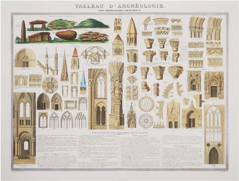
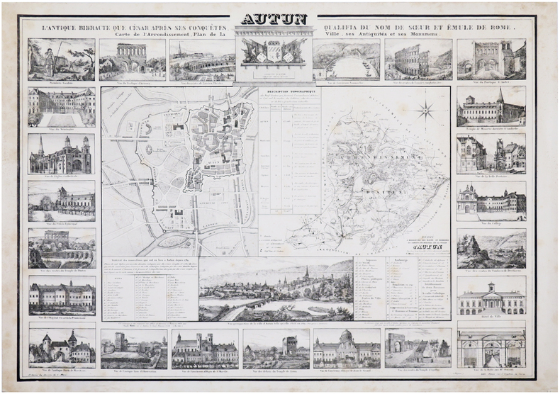
1851LBW-8435Paris, Maison Basset, [1851]. 493 x 632 mm.
1817LBW-8960Paris, chez l'auteur, 1817. En 32 sections montées sur toile et repliées, formant une carte de 0,77 x 1,13 m.
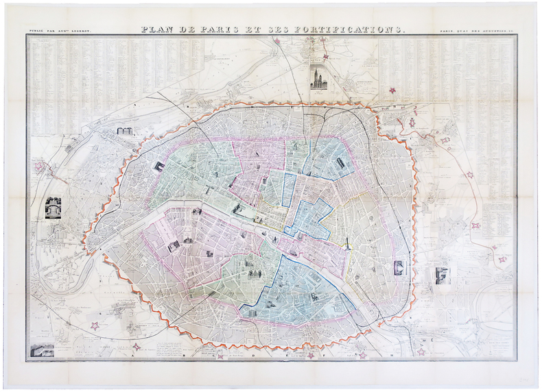
1848LBW-5864Paris, Aug.te Logerot, [circa 1848]. En 32 sections remises à plat et entoilées, formant un plan de 680 x 985 mm.
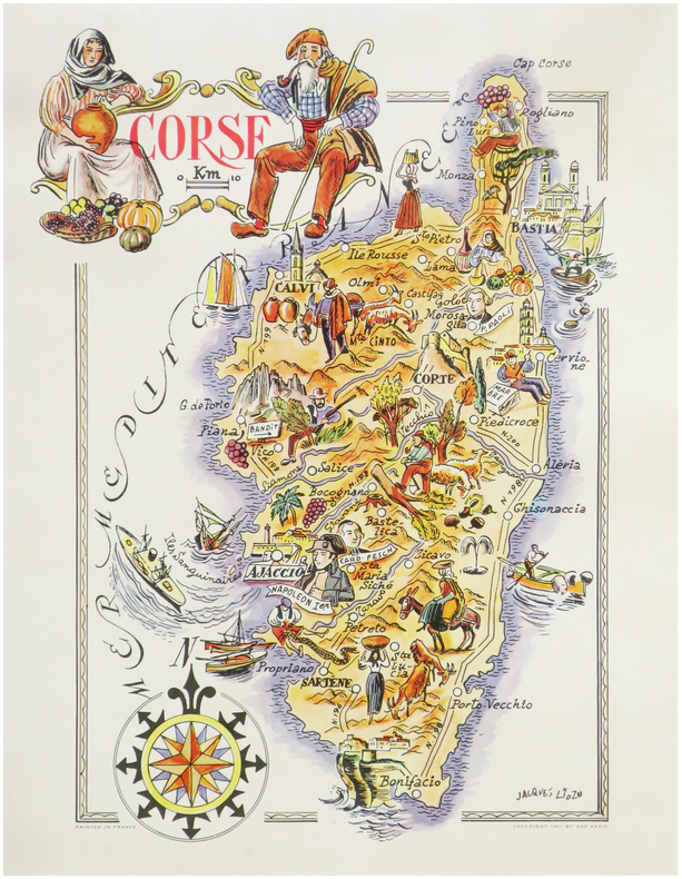
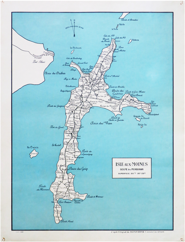
1955LBW-8243Vannes, I.O.V., [vers 1955]. 585 x 428 mm ; sur papier fort.
1606LBW-22771606-1608. 354 x 475 mm.
Roma, por Antonio Fulgoni, 1803. 4to. mayor; XV pp., 118 pp. y seis láminas plegadas, grabadas por Giovanni Battista Cipriani, una de ellas un gran mapa del Piamonte diseñado por Andrea Cattaneo. Encuadernación moderna en tela. Giuseppe Teresio Michelotti, de la saga turinesa de los Michelotti, ingenieros y arquitectos especialistas en Hidráulica, de renombre universal, era hermano de Ignazio Maria Lorenzo Michelotti (1764-1846) e hijos ambos de Francesco Domenico Michelotti (1710-1787). El último de los Michelotti, Giovanni, fue ya en nuestros dias uno de los grandes diseñadores de automóviles en la FIAT de Turín. La presente obra sobre el Piamonte y su hidrografía podría considerarse el mejor estudio existente sobre cuatro ríos y una ciudad, ó bien: una ciudad y cuatro rios.
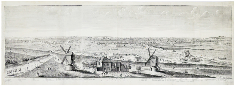
1736LBW-5901Paris, V.e de F. Chéreau, 1736. 0,34 x 1,02 m.
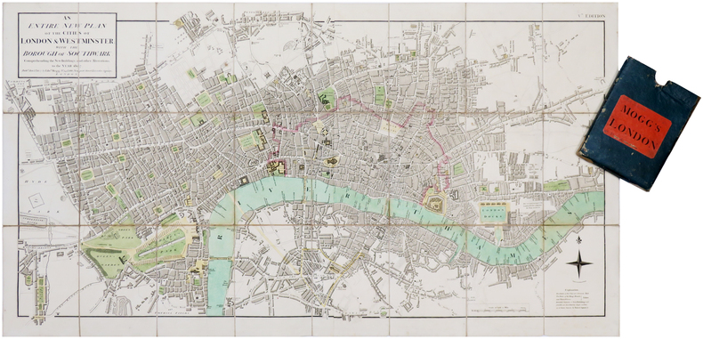
1807LBW-7019London, Edw.d Mogg, 1807. En deux feuilles coupées en 24 sections montées sur toile et pliées, formant une carte de 482 x 906 mm ; étui de papier bleu de l'époque avec pièce de titre de papier rouge.
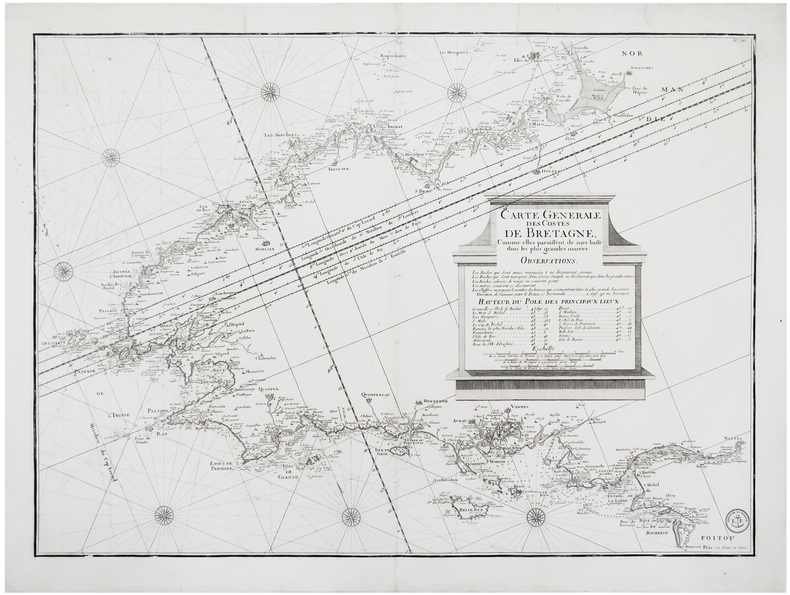
1810LBW-6248[Paris], Dépôt de la Marine, [circa 1810]. 543 x 753 mm.
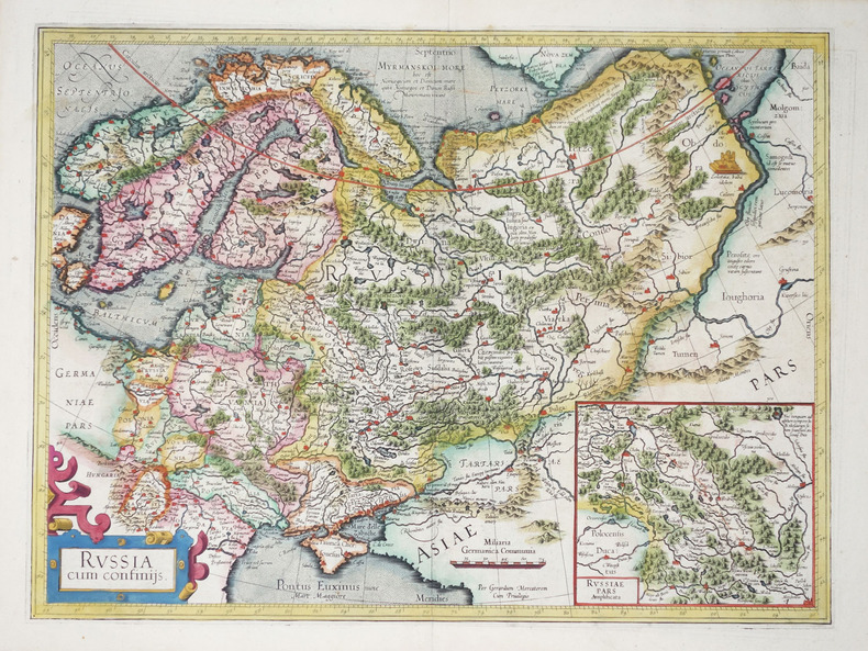
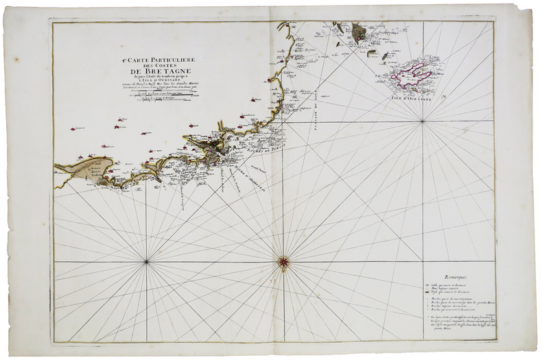
1693LBW-5892[1693]. 582 x 798 mm.
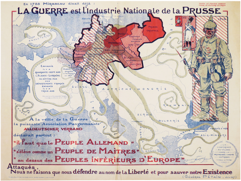
1917LBW-7258Paris, P.J. Gallais et Cie, Déc. 1917. Lithographie en couleurs de 580 x 775 mm.
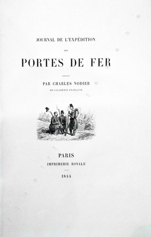
184413368Paris, Imprimerie Royale, 1844 ; grand in-8 ; cartonnage à la bradel de l'éditeur ; [4], XVI, 329 pp., [1] f. blanc, 40 planches hors-textes tirées sur chine contrecollées, protégées par des serpentes légendées et une carte dépliante en fin d'ouvrage et 200 vignettes gravées sur bois dans le texte.
Splendida carta storico-geografica dell'Impero Romano, per la prima volta edita nel 1579, ed inserita nel Parergon di Ortelius, il suo celebre atlante storico. La mappa è riccamente decorata: nei due medaglioni in alto sono raffigurati Romolo e Remo; in basso a destra, entro cartiglio, è l'albero genealogico degli imperatori romani, mentre nel pannello di sinistra è una notazione storica sull'Impero. La citazione in alto, sulla destra, è da Vitruvio. Come sottolinea Koeman "... il Parergon deve essere considerato come lavoro personale di Ortelius. Per quest'opera, infatti, diversamente dal Theatrum, non copiò le mappe di altri cartografi, ma ne disegnò lui stesso di nuove ed originali…prese luoghi, regioni e territori delle civiltà classiche illustrandone e spiegandone la storia, una materia molto vicina al suo cuore… Le mappe e le lastre del Parergon devono essere valutate come le più importanti incisioni che rappresentano il diffuso interesse per la geografia classica nel XVI secolo". Incisione in rame con magnifica coloritura coeva. Esemplare montato su antico supporto di collezione, con alcune abrasioni, in discreto stato di conservazione. Bibliografia Van den Broecke, Ortelius atlas maps, 188. Beautiful map of the Roman Empire centered on the Mediterranean and covering most of Europe, Northern Africa, and the Near and Middle East, published in the Parergon, the historical atlas by by Ortelius. The map is richly decorated with several strapwork cartouches, two containing portraits. The medallion portraits are of Romulus and Remus -the genealogical 'tree' describes the lineage of the Roman emperors while the strap work bordered panels explain the history of the Empire. With a quote in large lettering of four lines by Vitrivius at the top right. Map taken from the Parergon; the first historical atlas ever published. It was initially conceived by Ortelius as an appendix to his Theatrum Orbis Terrarum but given the considerable success of these historical maps it later became an independent work and remained the main source of all similar works throughout the seventeenth century. Koeman wrote: "This atlas of ancient geography must be regarded as a personal work of Ortelius. For this work he did not, as in the Theatrum, copy other people's maps but drew the originals himself... He took many places and regions from the lands of classical civilization to illustrate and clarify their history, a subject very close to his heart... The maps and plates of the Parergon have to be evaluated as the most outstanding engravings depicting the wide-spread interest in classical geography in the 16th century." The Theatrum Orbis Terrarum, which is considered the first true modern "Atlas". The work was published in 7 languages and 36 editions, for which - in 1570 - Ortelius obtained the privilege, a kind of copyright that prevented other cartographers from publishing his works. The Theatrum represented the most advanced work of cartographic description. Ortelius collected in it the geographical and cartographic knowledge of his time, proposing in 147 spectacular engraved plates the most faithful image of the world then known and, in some extraordinary "historical maps", regions and routes taken from literature, mythology, tradition. Copper engraving with contemporary coloring. Mounted example on antique collection mount, with some abrasions, in fair condition. Bibliografia Van den Broecke, Ortelius atlas maps, 188.
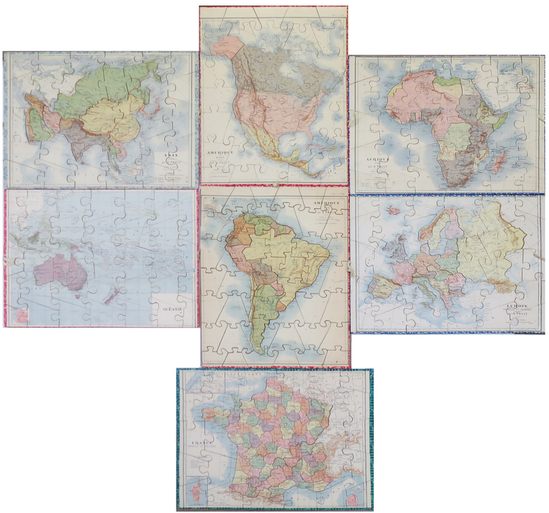
1900LBW-8525Paris, Saussine, [vers 1900]. 7 puzzles cartographiques coloriés (env. 29 x 38 cm), présentés dans leur boîte d'origine illustrée (32 x 40 x 5 cm).
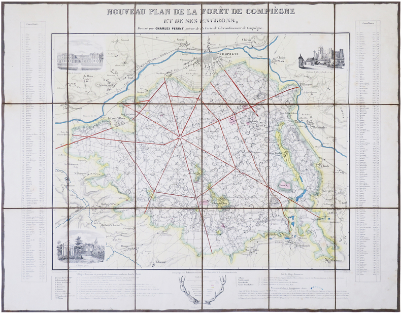
1845LBW-7850Compiègne, Dubois, [circa 1845]. En 18 sections montées sur toile et repliées, formant une carte de 532 x 687 mm.
1856LBW-8423Paris, Langlois et Leclercq, Maison Basset, 1856. 491 x 627 mm.
1856LBW-8305Paris, Robiquet, 1856. 610 x 894 mm.
1847LBW-8948London, F.G. Moon, 1847. 370 x 500 mm.
1797LBW-5683Paris, Delamarche, 1797. 646 x 949 mm.