Lands, NeilMareMagnum

11 973 résultats
Book appears unread in virtually mint condition. 160pp. Travel guide to the Dordogne region of France.
Name, date & origin on front end paper. Also two of authors names and a few place names underlined. Creasing to oversize parts of covers, none to spine. A very clean very tight copy with sunning to page edges and covers and rubbing to spine ends. 195pp. Very well illustrated guide, culture and history of the French region of Poitou, now part of the new region of Nouvelle-Aquitaine. With a number of fold-out maps all in very good condition. All text in French.
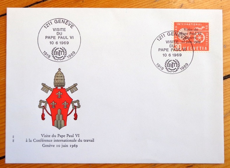
4579Enveloppe avec décor gaufré, timbre spécial édité à l'occasion de la visite papale, oblitéré à la date de la conférence. En parfaite condition.
ORD-1170D'après les aquarelles de Pierre Billard. Bordeaux. Marcel Delboy. s.d. Carnet (148 x 90mm) de 12 cartes postales gravées en bistre, sous couverture illustrée de même teinte. Bel exemplaire, complet.
19452405Paris, Ed. des Horizons de France, 1945. 1 volume broché (185 x 236) de 197-[4] pages, couverture illustrée couleurs.
1949AUB-4575Paris, éd. Horizon de France 1949. Bel exemplaire broché, pet. in-4 carré, 207 pages + planches.
194717252Paris, Editions de Horizons de France, Collection Provinciales, 1947. In-8 broché de 206 pages, couverture imprimée en couleurs.
1597755567-7-1National Geographic Maps. 2013. Acceptable. The item might be beaten up but readable. May contain markings or highlighting as well as stains bent corners or any other major defect but the text is not obscured in any way. National Geographic Maps unknown
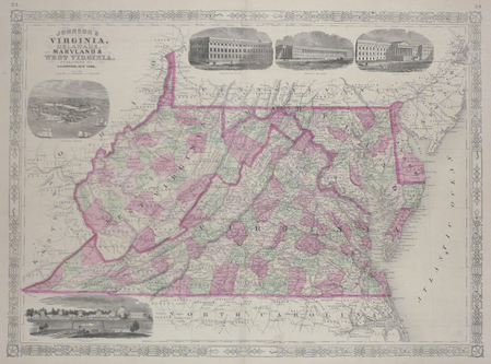
1864LBW03583New York 1864 430 x 587 mm.
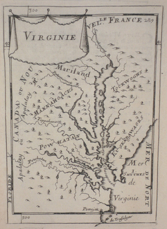
1683LBW024cc[1683]. 149 x 103 mm.
No marks or inscriptions to map or covers. Very minor creasing to covers. A very clean not torn map with bright unmarked boards. 1pp. Opens up to 23 x 30 inch vintage Geographia map of Denmark in 1970.
1965540161965. MAPS. THE VINLAND MAP AND THE TARTAR RELATION. By R.A Skelton et al. New Haven: Yale University Press 1966. Fourth printing. The historian John Muir Whitehill's copy with his notes on the preliminary leaves. 4to. red paper-covered boards; 291pp. A very good copy with a little scuffing to the boards. unknown books
No marks or inscriptions. A very clean very tight copy with bright unmarked boards and no bumping to corners. Dust jacket price clipped but not marked or torn or creased with minor traces of storage. 160pp. A tour around scores of Yorkshire villages. Well illustrated.
No inscriptions or marks. A lovely clean crisp very tight copy with bright unmarked boards and no bumping to corners. Dust jacket not price clipped or torn or creased. 256pp. Taken from the highly successful Observer Magazine series, Village England is a catalogue of all that is best in England. Twenty-four towns were chosen as centres to explore, and their surrounding villages are detailed with places to visit, things to do, national parks, model railways, places to eat and drink etc. With over 170 colour photographs, it is an introduction to the true England: quiet, picturesque, calm and beautiful.
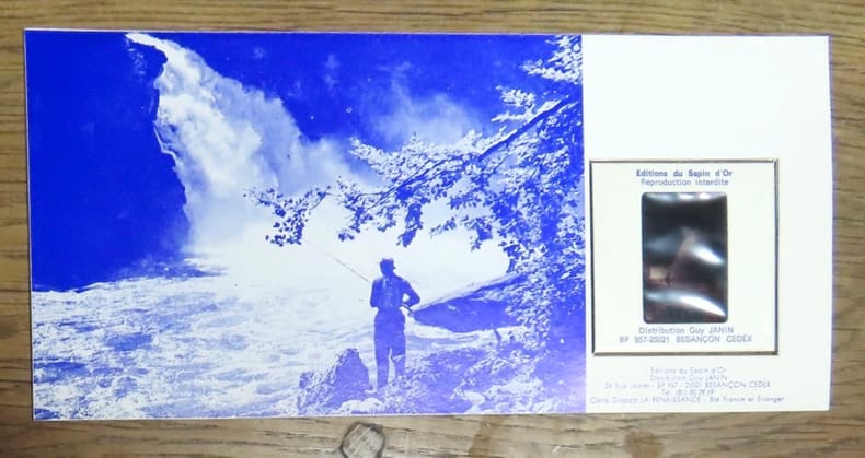
197325153La poste française / Editions du Sapin d'or, 1973. Timbre de 0,60 centimes, oblitéré au premier jour d'émission (8 septembre 1973), contrecollé sur un carton fort contenant en outre une diapositive du célèbre Saut.
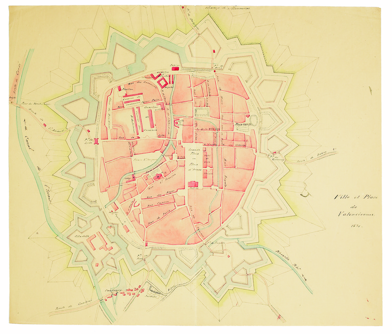
1831LBW-41441831. 345 x 410 mm, sur papier vergé.
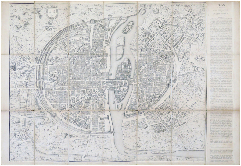
1552LBW-6930Paris, [1552-1756-milieu du XIXe]. En 21 sections montées sur toile et pliées, formant un plan de 694 x 991 mm ; étiquette au dos de l'éditeur Charles Simonneau.
7535Villeneuve de Berg, association-Services "le Prieuré", s.d. (années 80 ou 90), 1 carte postale de 10 x 15 cm ;
1911PHO-9261911 à Paris , chez Hachette , in-8 (200x130),relié pleine toile ,233pp avec 40 vues photographiques Hors texte prises par l'auteur ,3 reproductions de monuments, 8 cartes et plans .
Barcelona, 2006. Folio; 262 pp. Con 55 reproducciones de planos y mapas en color. Encuadernación original en tela. Sobrecubiertas.
RO20004200Photo hall. Non daté. In-16. Broché. Bon état, Couv. convenable, Dos satisfaisant, Intérieur frais. Vignettes artistiques pour cartes postales avec formules interchangeables. Pour photographes.. . . . Classification Dewey : 741.68-Illustrations des cartes postales
soft cover, slightly worn cover, else in good condition.
73-3802Ithaca: Historical Maps 1968. 60x84 cm. Color poster. Very Good. In plastic.Item in plastic sleeve new photos of item can be sent to customer upon request. Ithaca: Historical Maps, 1968 unknown
192837922Altona, Hans Ruhe, 1928. 4 farb. mehrf. gefalt. Ktn. im Maßstab 1:500.000, gezeichnet von Ernst Scharstein (ca. 54,5 x 46,5 cm) + Textheft: 66 S., mit 3 gefalt. Stammtaf. Gr.-8vo. 23,5 cm. OBrosch. Zus. in OHLn.-Schuber.
4262Paris, Laboratoire Marinier ; principautés d'Orange et comtat Venaissin (n°1), Mascon (n°2), Isles de Ré et d'Oléron (n°8), Franche Comté (n°9), Vermandois (n°11), Souveraineté des Dombes (n°13), Aire (n°15), Bresse (n°16), Langres (n°17), Retlois (n°18), Blaisois (n°19), Pays de Turenne (n°20), Beauvoisis (n°21), Valois (n°22), Lac Léman (n°23), Cambrésis (n°24), Le Velay (n°25), Pays Messin (n°27), Duché d'Aiguillon (n°28), Pays de Calais (n°29), Roussillon (n°30), Pays de Luçon (n°32), Le Lieuvin (n°34), Barrois (n°37), Comté de Nice (n°38), Pays de Caux (n°39), Ponthieu (n°41), Chalonnais (n°42), Le Valentinois, Vercors et Diois (n°43), Bourdelois et Prevoste de Born (n°44), Hainault François (n°45), Cotentin (n°46), Vexin François (n°50), Comté de Toulouse (n°51), Verdunois (n°52), Pays de Nantes (n°53), Yveline (n°54), Valromey (n°56), Bugey (n°57), Pays de Vannes (n°58), Pays de Béziers (n°59), Bessin (n°61), Pays de Gex (n°62)