COOK, Capitaine JamesLivre Rare Book
11 973 résultats
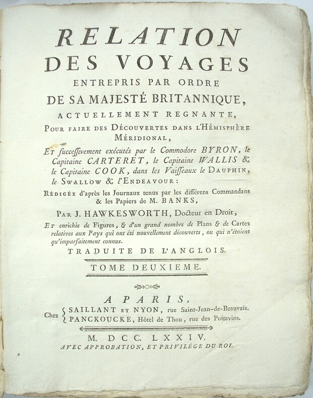
1785PHO-2103Paris, Hôtel de Thou, 1785, 1 volume in-4 (20x26cm), reliure d’attente, frottements, manque au dos, à grandes marges, tel que paru, sans les planches qui n’ont pas été relié dans cet exemplaire
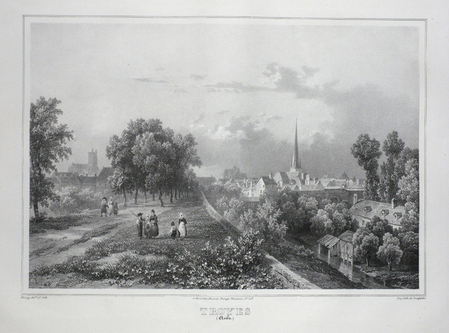
LBW03d4cParis Benard circa 1850 224 x 298 mm.
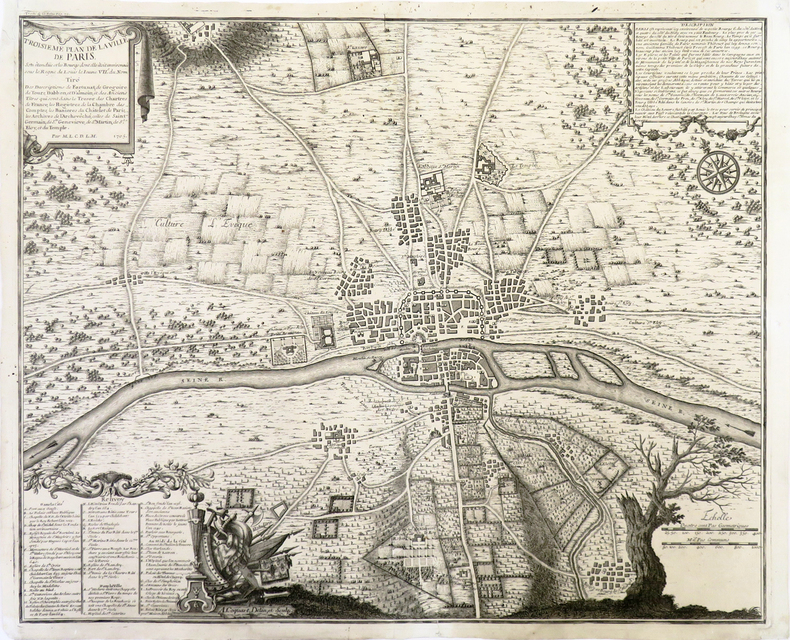
1720LBW-3723[Paris, circa 1720]. 424 x 526 mm.
Pianta del rione tratta dalla celebre guida di Roma di Dominique Magnan La ville de Rome, ou, Description abrégée de cette superbe ville: divisée en quatre volumes: et ornée de 425 planches en taille douce. A Rome: De l'imprimerie d'Archange Casaletti ... : Chez Venan. Monaldini, Bouchard et Gravier : Gregoire Settari ..., 1778. Dominique Magnan (1731–1796), dotto abate francese del convento della Trinità dei Monti, dell'ordine dei minimi, a Roma, che fu profondamente coinvolto nella vita intellettuale della sua comunità durante la seconda metà del XVIII secolo. Ha studiato all'università di Avignone, poi si è unito ai Minimi di La Ciotat all'età di 20 anni, dove ha iniziato la sua carriera come collezionista di monete e medaglie antiche. Nominato professore di teologia a Marsiglia, ha continuato il suo lavoro. Si mise in contatto con i più famosi antiquari dell'epoca, sia in Italia che in Germania, e acquisì rapidamente una vasta reputazione. I suoi primi libri hanno ricevuto il plauso della critica. Ma i suoi lavori più significativi erano sulla numismatica sebbene fortemente criticati dagli specialisti dell'epoca in quanto la copertura universale e completa del soggetto poteva mantenere la confusione tra monete autentiche e false. Bibliografia: Rossetti, G-1285; Schudt 363. Map taken from the famous guide of Rome by Dominique Magnan La ville de Rome, ou, Description abrégée de cette superbe ville: divisée en quatre volumes: et ornée de 425 planches en taille douce. A Rome: De l'imprimerie d'Archange Casaletti ... : Chez Venan. Monaldini, Bouchard et Gravier : Gregoire Settari ..., 1778. Dominique Magnan (1731–1796), a learned French abbot of the Trinità dei Monti convent, of the order of the minims, in Rome, who was deeply involved in the intellectual life of his community during the second half of the 18th century. He studied at the University of Avignon, then joined the Minims of La Ciotat at age 20, where he began his career as a collector of ancient coins and medals. Appointed professor of theology in Marseille, he continued his work. He got in touch with the most famous antiquaries of the time, both in Italy and Germany, and speedily acquired an extensive reputation. His first books received critical acclaim. But his most significant works were on numismatics though heavily criticized by specialists of the time in that universal and complete coverage of the subject could maintain confusion between authentic coins and the fake ones. Bibliografia: Rossetti, G-1285; Schudt 363.
(København, 1764). Kobberstukket prospekt af kirken. (17x24,5 cm.). Stukket af J. Haas. På skrivepapir. Et par svage brunpletter i marginer og en repareret rift i nederste margin.
No marks or inscriptions. Minor creasing to covers adjacent to spine. A very clean very tight booklet with bright unmarked boards and no bumping to corners. Large fold-out street plan and map on rear in excellent condition. 40pp. Official guide the the Hertfordshire town of Tring with history, Local Authority information and photographs of the town in the early 1970s. Extremely scarce.
176453301(København, 1764). Kobberstukket prospekt af kirken. (17x24,5 cm.). Stukket af J. Haas. På skrivepapir. Et par svage brunpletter i marginer og en repareret rift i nederste margin.
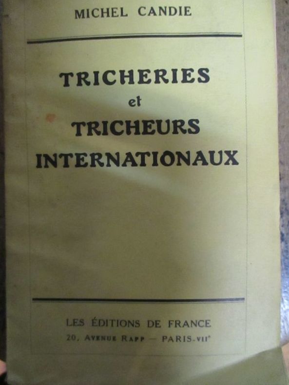
193557951935 Paris les éditions de France sans date (1935) In12 broché 228 pages
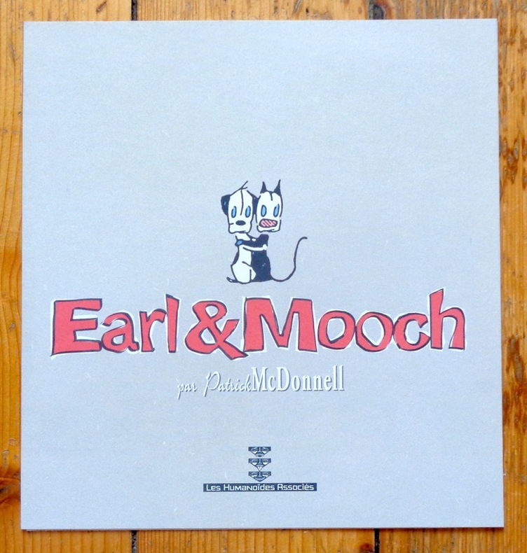
5406Les Humanoïdes Associés. Ravissant triptyque de présentation, à l'état de neuf.
156 pages. Index. Excellent black and white photos. Nice colour map entitled "Forest Distribution in Trent River Watershed" (34"x36") stored in pocket inside back board. Also present is a colour map entitled "Crown Timber Lands 1912" which covers the same geography and measures 21"x20". Final item in pocket is a chart showing "Classification of Land, Trent Watershed, Ont. 1912". Gilt lettering upon backstrip and front board. Initials upon front free endpaper else unmarked. Binding sound. Average wear. Sound copy. Book
Book is in excellent condition, with one crease at spineas only blemish to exterior. Binding is solid and square, covers have sharp corners, exterior shows no blemishes, text/interior is clean and free of marking of any kind. 433 pages with color photo section. Previous owner's name inside.
304 p. Numerous photographic illustrations by Jonathan Wallen. 4to. Original full cloth binding. Dust jacket. First Edition. Published at $60.00. Fascinating tour through the collections of one of the greatest American libraries. The New York Public Library houses more than 8 million volumes, 23 million manuscripts and half a million recordings. Includes: Washington's Farewell Address; the first Gutenberg B ible ever brought to this hemisphere; rare globes and maps; musical scores; and much more. A lavish history. **PRICE JUST REDUCED! REF1
36" x 25.5". Indicates 25 foot contours, water bodies, roads, rail lines, structures, etc. Light wear. Book
12mo [20 x 13 cm]; vii, 358 pp, lithographed folding map as frontis (short tears at stub & fold), half title page is present. contemporary half leather, marbled boards, gilt title lettering on leather spine label, light wear at edges, very good, sound and solid copy. A picture of this book is available upon request by email. A narrative and intelligent description by a Scot who travelled extensively in the area, including politics, towns and cities, agriculture, natural history, indigenous peoples, business opportunities, geology, volcanoes, etc. This contains the first map of the Republic of Central America and one of the few ever published since the republic broke up shortly after into the separate nations that exist today. Sabin 21317. Parker, Travels in Central America. Markman 49: 'General description of Central America at mid-nineteenth century. Also has a description of Antigua, Guatemala and Guatemalan houses'. Welch 61. Spain & Spanish America 223. Humphreys 1707. The author's name has been spelled Dunlap in one reference. Grieb GU391: 'More than just a travelogue or journal, it includes historical accounts drawn from the existing literature. . . his accounts of contemporary political maneuvers and revolts are valuable to the historian of this era'.
182342750London: T. Cadell and W. Davies 1823. First edition. Hardcover. g to vg. Large quarto 11 1/4 x 9". 2 xxviii xxiii 1 812pp; xix 13 715pp 1pp Errata 2pp Publisher's advertisement; 2 xv 12 20 822pp; 2 xx 14 735pp 1pp Errata; xii 14 763pp 1pp Errata; 2 iv 14 555 1pp. Modern half black morocco over dark grey cloth with gold lettering and ruling to spines. Raised bands. First volume with a striking tissue-guarded frontispiece portrait of the author engraved by Richard Golding after a painting by John Opie. Tissue-guarded engraved frontispiece in each volume.<br /> <br /> First edition of Edward Daniel Clarke's magnum opus "Travels in Various Countries of Europe Asia and Africa" the author's personal account of a fascinating journey throughout three continents. <br /> <br /> Following a tour of Scandinavia in 1799 Edward Daniel Clarke 1769-1822 travelled through Russia and the Crimea before proceeding to Constantinople Rhodes and afterwards Egypt and Palestine. Greece was the country next visited. While touring this country Clarke as a mineralogist and antiquary collected marbles coins and vases and purchased a large ancient statue at Eleusis. From Athens he proceeded by land to Constantinople and after a short stay in that city directed his course homewards through Rumelia Austria Germany and France.<br /> <br /> Each of the six volumes is lavishly illustrated throughout with numerous in-text vignettes and woodcuts as well as full-page copper plates many folded depicting views monuments natives in traditional costume ceremonies and processions antiquities etc. Includes several folded maps and charts. All the 185 copper plates and 157 vignettes and cuts are accounted for.<br /> <br /> Plates engraved by Joseph Skelton R. Pollard Laetitia and Elizabeth Byrne F. R. Hay J. Fittler and R. Cooper after illustrations by E. D. Clarke Angelica Clarke Guarenghi Martin Dreier W. Havell Camporesi J. B. Lusieri Morritt W. Harraden Grelot Fauvel G. Wilkins Henry Wrighte and Preaux. Most of the delightful vignettes were engraved by Elizabeth and Laetitia Byrne. The maps and plans were engraved by S. I. Neele and H. Mutlow.<br /> <br /> Some offsetting to text pages facing plates. Moderate to heavy foxing to plates throughout. Minor foxing to text pages. Sporadic clear water-staining along edges of plates in second volume Part 2 section 1. Ex-library copy with perforating library stamp to each title page and small reference stamp at inner gutter of the first text leaf of each volume not affecting lettering. Bindings in overall very good interior in good to very good condition. T. Cadell and W. Davies hardcover
0259197726.Gpaperback. Good. Access codes and supplements are not guaranteed with used items. May be an ex-library book. paperback
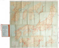
1927215711Tokyo.: Japanese Government Railways. Circa1927. Large folding colour map 78.5 x 80 cm of Japan and Korea 6 inset maps one of which shows Taiwan scale 1:1640000 for Hondo Shikoku and Kyushu 1:2340000 for Chosen; tipped into the original orange cloth covered case with orange ties text in 31 panels on the verso one a little age-toned a few very small fold splits without loss a very good copy. Attractive tourist map for the English-speaking traveller issued by the Japanese Government Railways with extensive notes for tours and points of interest on the verso short descriptions of cities and sites to visit principal theatres with suggestions for cafes restaurants and department stores. . Japanese Government Railways. hardcover
193860338Marshfield OR: Oregon Coast Highway Association 1938. 4to. 16 pp unpaginated. numerous text illustrations double-page centerfold map by T.J. Greene small closed tear minor creasing self-printed photo-illustrated colour-softcovers center crease and printed in double-columns for folding slight soiling front cover still VG- copy w/ small rubber stamp of Breakers Motor Apts. Crescent City California on front cover. First edition thus of this automobile and bus travel tour guide to the newly completed US Highway 101 which finally had completed paved highway and bridges including the iconic Yaquina Bay bridge designed by Conde B. McCullough. Throughout the 1930’s with substantial support from the WPA and PWA projects as well as the U.S. Bureau of Public Works the highway became a scenic continuous drive. Oregon Coast Highway Association, paperback
213 pages including index. Describes over 60 of the most popular attractions Korea has to offer. Includes over 160 spectacular color photos and 20 informative maps. Provides everything you need to plan a wonderful vacation in Korea. Price clipped from flap of back cover. Minimal traces of wear. Tiny rubber date stamp upon bottom edge of textblock. Book
Informative vintage guide to Poland for visitors fiinely packed with details of historic places and attractions. Includes :28 itineraries, 61 alternative routes and diversions, 52 schematic plans of towns, 6 diagrams of the regions, 30 diagrams of historical monuments,7 schemes of itineraries, car map of Poland about 8,500 miles of described routes, 877 localities. 439p. index.A pocket inside back cover has an unused folded detachable map of Poland, and also endpaper maps.Enought to deflates Michelin! [6 copies found in WorldCat] Book
Pianta del rione tratta dalla celebre guida di Roma di Dominique Magnan La ville de Rome, ou, Description abrégée de cette superbe ville: divisée en quatre volumes: et ornée de 425 planches en taille douce. A Rome: De l'imprimerie d'Archange Casaletti ... : Chez Venan. Monaldini, Bouchard et Gravier : Gregoire Settari ..., 1778. Dominique Magnan (1731–1796), dotto abate francese del convento della Trinità dei Monti, dell'ordine dei minimi, a Roma, che fu profondamente coinvolto nella vita intellettuale della sua comunità durante la seconda metà del XVIII secolo. Ha studiato all'università di Avignone, poi si è unito ai Minimi di La Ciotat all'età di 20 anni, dove ha iniziato la sua carriera come collezionista di monete e medaglie antiche. Nominato professore di teologia a Marsiglia, ha continuato il suo lavoro. Si mise in contatto con i più famosi antiquari dell'epoca, sia in Italia che in Germania, e acquisì rapidamente una vasta reputazione. I suoi primi libri hanno ricevuto il plauso della critica. Ma i suoi lavori più significativi erano sulla numismatica sebbene fortemente criticati dagli specialisti dell'epoca in quanto la copertura universale e completa del soggetto poteva mantenere la confusione tra monete autentiche e false. Bibliografia: Rossetti, G-1285; Schudt 363. Map taken from the famous guide of Rome by Dominique Magnan La ville de Rome, ou, Description abrégée de cette superbe ville: divisée en quatre volumes: et ornée de 425 planches en taille douce. A Rome: De l'imprimerie d'Archange Casaletti ... : Chez Venan. Monaldini, Bouchard et Gravier : Gregoire Settari ..., 1778. Dominique Magnan (1731–1796), a learned French abbot of the Trinità dei Monti convent, of the order of the minims, in Rome, who was deeply involved in the intellectual life of his community during the second half of the 18th century. He studied at the University of Avignon, then joined the Minims of La Ciotat at age 20, where he began his career as a collector of ancient coins and medals. Appointed professor of theology in Marseille, he continued his work. He got in touch with the most famous antiquaries of the time, both in Italy and Germany, and speedily acquired an extensive reputation. His first books received critical acclaim. But his most significant works were on numismatics though heavily criticized by specialists of the time in that universal and complete coverage of the subject could maintain confusion between authentic coins and the fake ones. Bibliografia: Rossetti, G-1285; Schudt 363.
No marks or inscriptions to contents. No creasing to covers or to spine. A clean very tight copy with very slightly marked boards, dusty page edges and bumping to some corners. A small piece of a fair number of the lower edges of adjacent pages has been clipped away/pierced - with no effect on any of the maps or text. 548pp. A fascinating trip around Africa with great detail giving mile-by-mile information and all the place names for all of the major road routes.
Appears unread. No marks or inscriptions. No creasing to covers or to spine. A lovely clean very tight copy with bright unmarked boards and no bumping to corners. 256pp. With rail routes and maps plus city guides to most Canadian cities.
français Sans date. Fort in-12 de 538 pp.; broché de l'éditeur (plats de couverture renforcés de carton). Avec de nombreuses illustrations explicatives dans le texte. Petits transferts de scotch dans la première et dernière pages.