Philip's MapsBiblio.com
Tyne and Wear Philip's Street Atlases
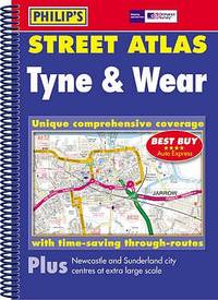
054008753X.Gpaperback. Good. Access codes and supplements are not guaranteed with used items. May be an ex-library book. paperback
Bonita · États-Unis61,85 $US≈ 52,33 €
11 973 résultats
Very Good Turkish Original TLS document signed 'Aziz Ogan' as 'the general director of Istanbul Archaeological Museums'. 32,5x21 cm. In Turkish. 1 p. Full. Typescript document with autograph corrections and signature. Including request of the photographs of listed 25 Seljuk and Ottoman architectural buildings such as mosques, fountains, hans, tombs etc. Dated 12-9-1939. Addressed to Nuri [Ebussuudoglu from the member board of the Turkish Antiquities Protection Council. Letterhead 'TC Istanbul Müzeleri Genel Direktörlügü' [i.e. The General Directory of Istanbul Museums]. Ogan was a Turkish archaeologist and museologist. He was the one of the earliest archaeologists of the Turkish Republic. He founded Izmir Archeology Museum and was the director of Istanbul Archeology Museums. He is the father of the first Turkish female archaeologist Jale Inan.
054008753X.Gpaperback. Good. Access codes and supplements are not guaranteed with used items. May be an ex-library book. paperback
Outside dimensions 14.5" x 10.5". Circa 1902. Centerfold. Light wear. Please see our photo for details. Book
178425892London: Harrison & Co 1784. 1 vols. 10 x 7 3/4 inches. Extracted from a volume. Some light marginal discoloration folds else in very good condition. 1 vols. 10 x 7 3/4 inches. The first "A General Stereographic Map on the Plane of the Meridian" and the other showing a "Stereographic Projection on the Plane of the Horizon" and "Orthographic Projection on the pLane of the Meridian" Maps of the Hemispheres. <br/><br/> Harrison & Co unknown
1885508921.Gmap. Good. Access codes and supplements are not guaranteed with used items. May be an ex-library book. unknown
18915664Washington, Government Printing Office, 1891. 4°. With many plates, illustrations and maps, 6 folding pocket maps. 675 pp. Original gold stamped cloth. Mit zahlreichen Tafeln, Textabbildungen und Karten, 6 Faltkarten in Anhangtasche. Orig.-Leinen mit Deckelvergoldung, Rückengoldprägung. - Content: The origin and nature of soils; The lafayette formation; The north american continent during cambrian time; The eruptive rocks of electric peak and sepulchre mountain, yellowstone national park etc. Binding scratched. Einband berieben.
(København, 1805). Originalt håndkoloreret kobberstik. (21 x 14,5 cm.). Indrammet i ""sølvramme"" (29 x 21 cm.). Frisk eksemplar.
180552215(København, 1805). Originalt håndkoloreret kobberstik. (21 x 14,5 cm.). Indrammet i ""sølvramme"" (29 x 21 cm.). Frisk eksemplar.
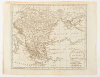
1816175252Philadelphia.: Carey Mathew and Warner Benjamin. 1816. Engraved map 19 x 22.3 cm original folds some offsetting to the map marginal browning and staining small archival repairs to the outer margin but in good condition. Fine map Plate 19 prepared for Carey and Benjamin's "General Atlas.". . (Carey, Mathew and Warner, Benjamin). unknown
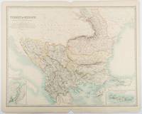
1893177055Edinburgh & London.: W. & A. K. Johnston. 1893. Engraved map with original outline hand-colour 44 x 57.4 cm map two inset maps of the Bosphorus and Crete; central fold corners chipped with loss lower edge with several small marginal tears neatly repaired head and foot clipped at the fold with loss to the margin but the map in very good condition. Detailed and finely engraved map also showing submarine telegraph lines and relief by hachures. Re-issue of the map first published in 1863 for "Keith Johnston's Royal Atlas of Modern Geography". . W. & A. K. Johnston unknown
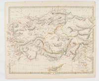
1830175250London.: Society for the Diffusion of Useful Knowledge. Baldwin & Cradock. 1830. Engraved map wth outline hand colour 29.7 x 42 cm relief shown in hachures key to abbreviations including "Ancient Ruins" the west and east extremities attactively engraved to burst through the border original folds map with occasional spotting more pronounced at the lower corner edges a little ragged small chip to the inner margin no loss to the map manuscript pagination in the lower corner but in good condition. . Society for the Diffusion of Useful Knowledge. Baldwin & Cradock. unknown
1855LBW0394eNew York 1855 332 x 402 mm.
1661LBW025381661 106 x 128 mm.
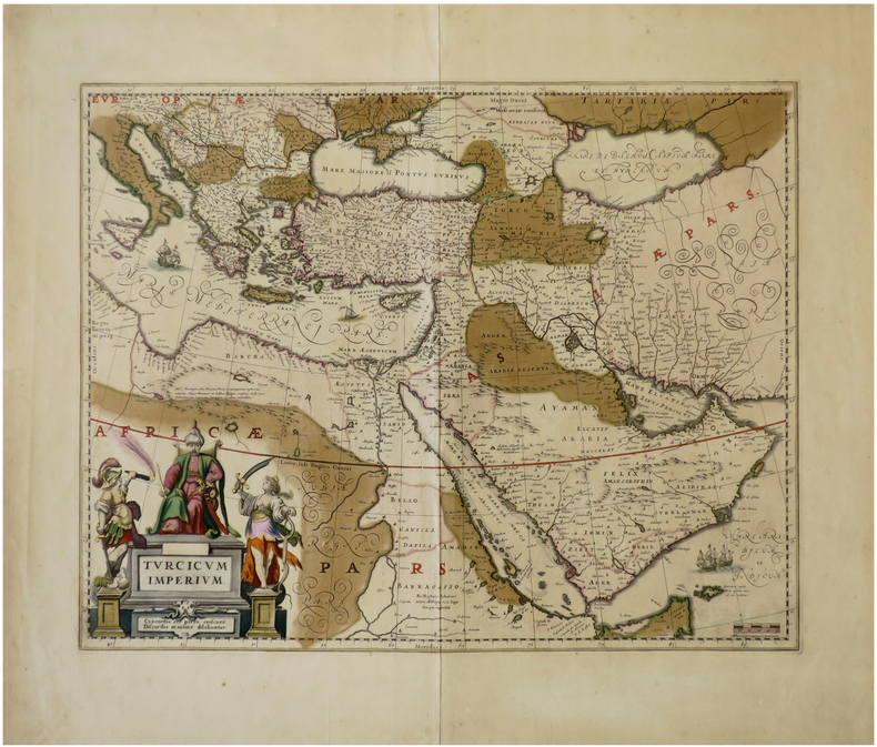
1640LBW-6792[Amsterdam, circa 1640]. 410 x 517 mm.
1598LBW-1428Anvers 1598 81 x 105 mm.
1748LBW02e6e1748. 162 x 195 mm.
No marks or inscriptions. No creasing to covers or to spine. A very clean very tight copy with bright unmarked lightly indented boards and no bumping to corners. 344pp. With descriptions of the culture, history and tourism of the North African country this travel book takes the reader into some of its lesser known delights as well as the sand and sea tourist spots.
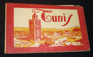
ne186Dos carré collé In-16 à l'italienne (9.5x14.5 cm), ensemble de cartes postales en héliogravures sous couverture illustrée ; cartes postales en bel état, une détachée, défauts à la couverture, bon état général. Livraison a domicile (La Poste) ou en Mondial Relay sur simple demande.
1887749330.Gspiral_bound. Good. Access codes and supplements are not guaranteed with used items. May be an ex-library book. unknown
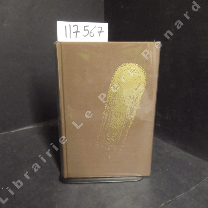
19711175671971 Editions Opta, collection "Club du Livre d'Anticipation" (CLA) N° 34 - 1971 - In-8, reliures toilée marron avec titre doré au dos et décor (comète) doré sur le premier plat, sous rhodoïd - VII + 337 pages - Avec sa carte dépliante - Illustré de dessins originaux de Caza - Exemplaire numéroté N° 5486 / 6000
2 Kupferstiche auf 1 Bl. 4to. Zwei Ansichten aus entnommen aus Vischers "Topographia Archiducatus Austriae Inf: Modernae, seu Controfee und Beschreibung aller Stätt Clöster und Schlösser wie sie anietzo in dem Erzhertzogtumb unter Osterreich". Vgl. Nebehay/W. 783.
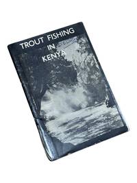
19508975Nairobi Kenya: Printed in E. Africa by W. Boyd & Co 1950. First edition. 18x13cm 64pp. Illustrated ads photos fold out map attached at rear. Staple bound in illustrated wrappers. Old tape reinforcement to spine edges rubbed owner's name to front cover. Upper corners stained else clean internally and very good. <br /> <br /> Very scarce mid-century publication a guide for English and American sportsmen seeking angling opportunities in Kenya Colony. Brown and Rainbow Trout eggs were introduced into the rivers by colonists around 1905. The sport was a popular pastime for the colonists and tourist fishing in the region continues to thrive today. The three color map at rear shows the Kenya Highlands with principle trout rivers roads and railways.<br /> <br /> OCLC cites a single holding at the University of California. Printed in E. Africa by W. Boyd & Co unknown
Previous owner's bookplate to front end paper. No marks or inscriptions. Extremely faint crease to front cover, none to rear or to spine. A lovely clean very tight copy with bright unmarked boards and no bumping to corners. 80pp. This work of full-page colour photographs by Paul Graham deals with the small but insistent signs of deep political division within the landscape of Northern Ireland in the 1980s. 'The foreword by Declan McGonagle contrasts the work against the melodramatic imagery of the North and places the Troubles in a broader framework of the marginalisation and denial of power that has been the hallmark of British cononialism for centuries. The main text by Gerry Badger examines the genre of reportage photography and positions this work within a new generation of intelligent documentary photography that represents ideas rather than furnishing simple visual records or illustrating words.'
1888J4KDIGIVEPWUFrance 1888. Brown and black ink watercolour chalk and gold paint on paper mounted on several laminated sheets of paper 69.5 x 52.5 cm. Charming trompe-l'oeil of maps of European countries on a decorated background somewhat reminiscent of a church ceiling. It contains a French inscription "to my beloved parents" which together with some inconsistencies in the use of perspective suggest a young French artist. The maps show some interesting departures from reality: in the Netherlands parts of the province of Gelderland are shifted 50 kilometres to the north replacing Zwolle with Arnhem and Sweden lacks Stockholm but includes Copenhagen in place of Malmö. However the most humorous is in the map of Germany which lacks its western neighbours - the Netherlands Belgium Luxemburg and France - giving it an extensive North Sea coast. The gothic lettering is inconsistent in style with the artist apparently improvising an alphabet for each inscription in the process forgetting Denmark.Somewhat soiled and browned at the edges with several white spots due to overpainting; the sheets are coming loose from one another. unknown
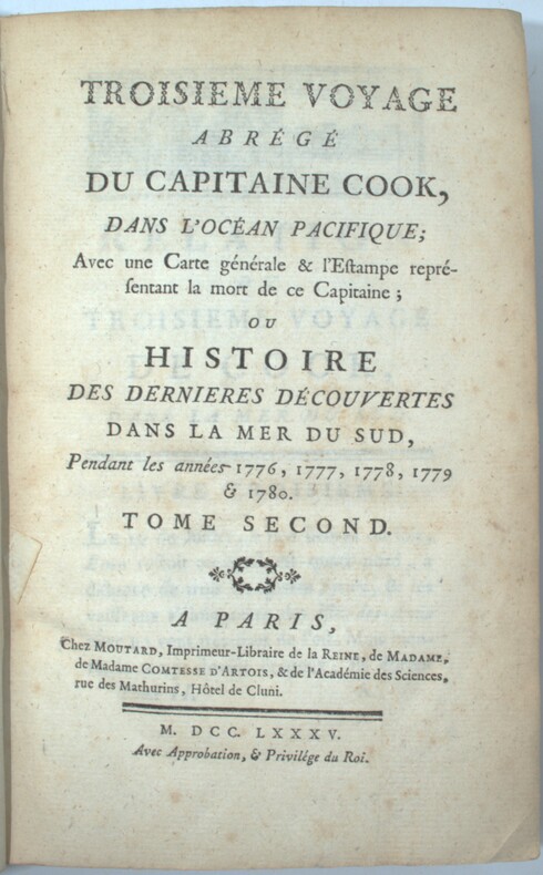
1785PHO-1570Paris, Moutard, 1785. 3 volumes in-8, demi veau époque, dos à nerfs, charnières fendues, coiffes absentes, coin et coupes usés, 3ff.-viii-519pp., 2ff.-591pp., 2ff.-477pp., quelques rousseurs.