Livre Rare Book
BaudetLivre Rare Book
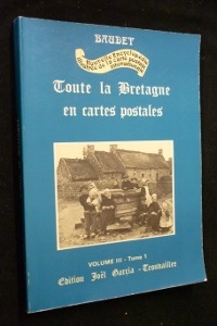
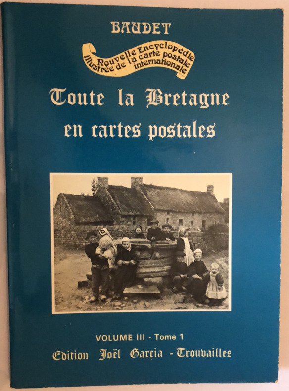
Toute la Bretagne en cartes postales Volume III en 2 tomes
yam01902 tomes in-4 en bon état émoussés sur les bords 376 + 113 pages
La Yamouna · Vannes, France80,00 €
11 983 résultats
9782845227148Carte postale ancienne | Etat : Bon état général, frottements, écritures recto verso (Ref.: ref97085)
198827529Toulouse Milan 1988 Grand In-8 Oblong 131 pp. Nombreuses illustrations N&B in-texte
yam01902 tomes in-4 en bon état émoussés sur les bords 376 + 113 pages
mc654Edition Joël Garcia Broché In-4, (30.5x21.5 cm), broché, couverture illustrée, 114 pages, sans date, cartes postales anciennes en noir et blanc ; usures sur les bordures, plats légèrement défraîchis, bon état général. Livraison a domicile (La Poste) ou en Mondial Relay sur simple demande.
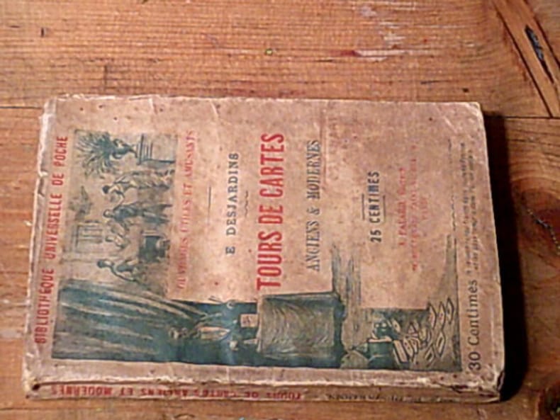
25429A. Fayard 159 pages collection Bibliothèque universelle de poche. Paris. in-12. Sans date. broché. 159 pages. Traité théorique et pratique rédigé d'après les travaux des plus célèbres professeurs par Eugène Durand - Nouvelle édition illustrée de gravures explicatives
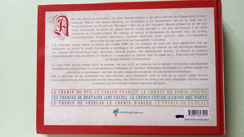
2007500196802Rando Editions 2007 254 pages 24 6x2x17 4cm. 2007. Broché. 254 pages.
LBW03d66Paris Benard circa 1850 221 x 303 mm.
26584Paris, Bornemann, 1967. 13 x 18, 40 pp., broché, très bon état.
198714564Solar 1987 294 pages 14 9cm x 23 2cm x 2 6cm. 1987. Cartonnage éditeur - illustratio. 294 pages.
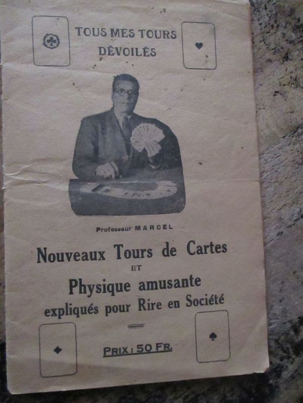
175359281753 Marcel lemoine (studio physico) 175 rue du temple, café de la monnaie Paris 3eme plaquette In8 22 pages
194521996Paris, Garnier Frères, 1945, in-8 de 182 pages, sobre reliure pleine toile en très bon état, couverture de l'édition brochée conservée, jtitre doré sur pièce de titre sur dos lisse. Corps frais, reliure solide, un tampon en tête de la grande page de titre. Bon exemplaire.
98586Paris, Bornemann, Ulisse Editions, 1995. 15 x 21, 132 pp., quelques illustrations, broché, très bon état.
c2451Paris,1976 (2ème année) ; in-8°, broché, couverture de papier fort bleu vif illustrée d'une carte postale ancienne "Circuit de Dieppe"; 81pages; couverture légèrement frottée au 1er plat;ex-libris manuscrit à l'encre au titre, mais bon exemplaire.
23686Paris, Librairie S. Bornemann, s.d. 11 x 18, 32 pp., quelques illustrations, broché, bon état (couverture défraîchie).
8230Paris, S. Bornemann, 1941. In-8 broché, couv. ill. Fig. in-t. Très bon état (tampon sur 1er plat). Règles et variantes de : Manille, Piquet, L'Ecarté, Poker, Baccara, Belotte, Bridge...
36714Chantecler, 2002. 14 x 23, 115 pp., très nombreuses figures, cartonnage d'édition imprimé, très bon état.
37107Paris, Solar, 1995. 24 x 27, 125 pp., très nombreuses illustrations en couleurs, cartonnage d'édition imprimé, bon état.
6492FIRST / DOCUMENTS Broché , couverture éditeur représentant un code barres sur un crane , ensemble un peu défraichi mais en bon état , 311 pages .
Magnifica mappa del mondo a doppio emisfero finemente incisa, incisa da Jan Van Doetecum per Paulus Merula nel 1605. La raffinata incisione di Van Doetcum si basa su una mappa di suo padre Baptista van Doetecum per Petrus Plancius nel 1590, con diversi importanti aggiornamenti, tra cui l'aggiunta della recentemente esplorata Nova Zemlya (esplorata da Barentsz durante i suoi 3 viaggi nelle regioni artiche alla ricerca del “Passaggio a Nord-Est”) e l'aggiunta di due emisferi celesti, basati sulla mappa del mondo di Plancius del 1594. La mappa aggiunge, agli angoli, l’ingrandimento di 4 isole, Giappone, Isola, Ceylon e Sant'Elena. Include le quattro grandi isole dell'Artico, così come appaiono sullemappa di Mercatore del 1595. Il “Passaggio a Nord-Ovest” è aperto e chiaramente definito, permettendo un passaggio attraverso lo Stretto di Anian nel Pacifico verso l'Atlantico. California e Quivira sono nominati, insieme alle annotazioni sulla scoperta dell'America da parte di Colombo nel 1492 e alle note sulle regioni settentrionali conosciute e sconosciute dell'America. L'enorme continente meridionale è chiamato Magellanica, Terra Australis, e anche Terra del Fuoco, prima del viaggio di Le Maire e Schouten che avrebbe iniziato a riscrivere la credenza allora prevalente che lo stretto scoperto da Ferdinando Magellano fosse l'unico passaggio d'acqua tra l'Atlantico e l'Oceano Pacifico nell'emisfero meridionale. Viene mostrata una massiccia Guinea Nova, senza alcun segno delle moderne scoperte in Australia e Nuova Zelanda, con i resti delle informazioni di Marco Polo ancora presenti nella regione. C'è una prima apparizione delle Filippine (I. Filipinae). La costa cinese, pur essendo ricca di informazioni, precede la comparsa della Corea e fornisce una presentazione molto curiosa del Giappone. La mappa è riccamente impreziosita da decorazioni di velieri, che riflettono la mano del maestro incisore caratteristica della famiglia Van Doetcum, allora forse i migliori incisori impegnati attivamente nella realizzazione di mappe commerciali. Acquaforte e bulino, in ottimo stato di conservazione. Magnifico esemplare. Striking dark impression of this finely engraved double hemisphere map of the World, engraved by Jan Van Doetecum for Paulus Merula in 1605. Van Doetcum's fine engraving his based upon a map engraved by his father Baptista van Doetecum for Petrus Plancius in 1590, with several important updates, including the addition of the recently explored Nova Zemlya (explored by Barentsz during his 3 voyages to the arctic regions in search of the Northeast Passage) and the addition of two celestial hemispheres, based upon Plancius' world map of 1594. The map also adds fine large format images of 4 islands, Japan, Island, Ceylon and St. Helena, presenting fine enlargements of these islands as they appearon the map. The map includes the four large islands in the Arctic, as they appeared on Mercator's maps, including his very rare 1595 map of the Polar Regions. The Northwest Passage is open and clearly defined, allowing a passage via the Straits of Anian in the Pacific to the Atlantic. California and Quivira are named, along with annotations on the discovery of America by Columbus in 1492 and notes on the known and unknown northern regions of America. The massive southern continent is called Magellanica, Terra Australis, and also Terra del Fuego, pre-dating the voyage of Le Maire and Schouten which would begin to re-write the then prevailing belief that the strait discovered by Ferdinand Magellan was the only water passage from between the Atlantic and Pacific Ocean in the Southern Hemisphere. A massive Nova Guinea is shown, with no signs of the modern discoveries in Australia and New Zealand, with remnants of the information from Marco Polo still present in the region (Beach). There is an early appearance of the Philippines (I. Filipinae). The Chinese coastline, while filled with information, pre-dates the appearance of Korea and provides a very curious presentation of Japan. The map is richly embellished with strapwork decorations and sailing ships, reflecting the master-engraver's hand characteristic of the Van Doetcum family, which were then perhaps the finest engravers actively engaged in commercial map making. Etching with engraving, very good condition. R. W. Shirley, "The Mapping of the world", 254; New Hollstein, Doetecum IV, 995
Format: 18 x 29,5 cm. *Leicht gebräunt, insgesamt gut erhalten. Landkarten de
Format: 18 x 29,5 cm. *Leicht gebräunt, insgesamt gut erhalten. Landkarten de
181899350Hamburg, Schulbuchhandlung bei J. H. Gundermann, 1818. 31 S. Mit angebund. Faltplan der Stadt (Kupferstich), 29 x 37,5 cm. Kl.-8vo. 15,5 cm. Marmor. Interims-Kart. d. Zeit.
196239310München 1962. Mehrfarb. Faltkarte in 12 Segmanten auf Leinen gezogen. 60 x 62 cm. Maßstab: 1:50.000. Faltmaß
18 Segmenten auf Leinen aufgezogen. Aufgefaltet 55 x 75 cm. Landkarten de
18 Segmenten auf Leinen aufgezogen. Aufgefaltet 55 x 75 cm. - Stempel und Bezeichnung auf Leinenrücken. Landkarten de