Service topographique fédéral:Livre Rare Book
11 983 résultats
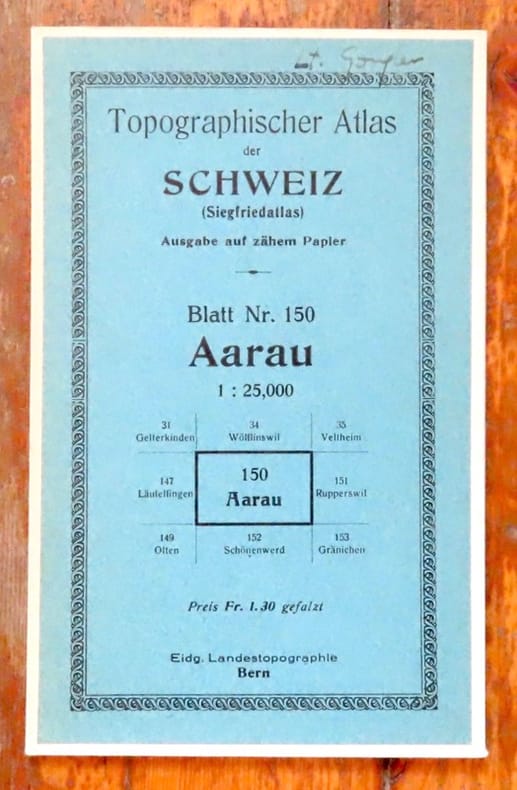
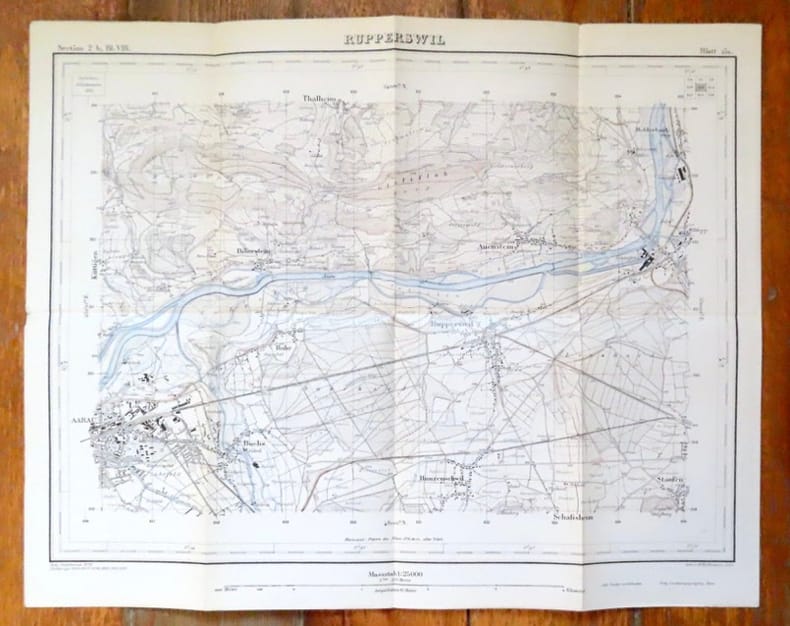
193116917Bern, Eidg. Landestopographie, 1931. Carte au 1 : 25,000, au format de 43,5 x 35 cm., sur papier parcheminé. Nom de possesseur au titre, pour le reste en très belle condition.
193116918Bern, Eidg. Landestopographie, 1931. Carte au 1 : 25,000, au format de 43,5 x 35 cm., sur papier parcheminé. Nom de possesseur au titre, pour le reste en très belle condition.
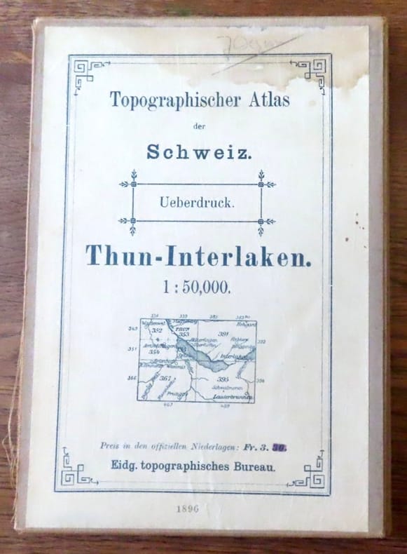
189618659Bern, Eidg. Landestopographie, 1896. Carte au 1 : 50,000, au format de 77 x 55 cm., entoilée. Nom de possesseur au titre et auréole au titre.
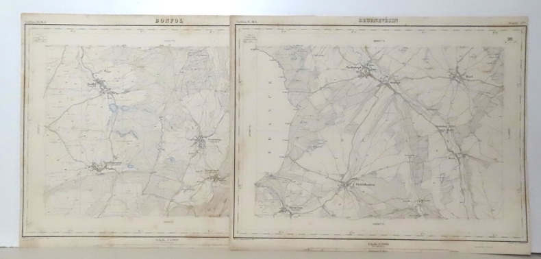
22007351 cartes au format (sauf exception) d'environ 40 x 30 cm. Feuillets de titre et de présentations avec déchirures, certaines cartes en état moyen (rousseurs, déchirures, parfois avec manques), la plus grande partie néanmoins dans un état tout à fait satisfaisant (voir images).
Quarto in pale yellow illus jacket; x, 116 pages : illustrations, maps, portraits ; 27 cm. Includes bibliographical references (pages ix-x). Cartographers -- Biography -- Dictionaries. Cartographes -- Biographies. Cartographers. Cartografen.
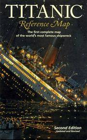
2001SONG1597753351National Geographic 2020-01-01. 2020. map. Used: Good. 4.25x0.40x9.25. Buy with confidence. Excellent Customer Service & Return policy. National Geographic unknown
2001DADAX1597753351National Geographic 2020-01-01. 2020. map. New. 4.25x0.40x9.25. Buy with confidence. Excellent Customer Service & Return policy. National Geographic unknown
1597753351New. Brand new and still unused unknown
1597753351.Gmap. Good. Access codes and supplements are not guaranteed with used items. May be an ex-library book. unknown
6050Hanoi, années 20. 1 ensemble de 18 cartes rizicoles des Provinces du Tonkin et Nord Annam, en parfait état, sous pochette.
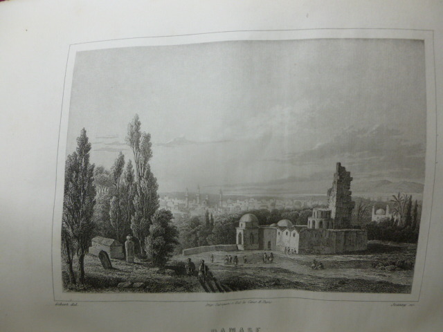
CZC-3792GÉOGRAPHIE UNIVERSELLE ou description de toutes les parties du monde sur un plan nouveau Malte Brun Tome IV. Description de l'Europe et de l'Asie occidentale fort vol.in.4, 280x180, relié demi cuir à coins, texte sur 2 colonnes, 665pp. quelques jolies gravures sur acier ( Venise, Athène etc..) Paris Garnier Frères vers 1860
CZC-3792GÉOGRAPHIE UNIVERSELLE ou description de toutes les parties du monde sur un plan nouveau Malte Brun Tome IV. Description de l'Europe et de l'Asie occidentale fort vol.in.4, 280x180, relié demi cuir à coins, texte sur 2 colonnes, 665pp. quelques jolies gravures sur acier ( Venise, Athène etc..) Paris Garnier Frères vers 1860
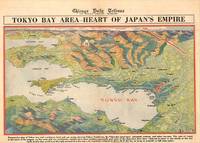
1945209335Chicago.: Chicago Daily Tribune. 28 July1945. Colour bird's eye view map 22.4 x 39.3 cms on a newspaper leaf trimmed to a half sheet 29.8 x 41.6 cms including caption slight toning at an old central fold the map in very good condition. <br>Unrelated black and white photographic illustrations on the verso "Pre-flight Trainers used in Chicago to give ground instruction to would-be pilots" and "New rekindled Montauk Light Long Island N.Y." Map published in the Chicago Daily Tribune days before the bombing of Hiroshima on August 61945. <br>"Perspective map of Tokyo bay and contiguous land and sea areas showing Tokyo Yokohama the Yokosuka naval base industrial sections and other features .In this map north is at the right instead of at the top - an expedient adopted to show all of the bay as large as possible in half page space." caption . Chicago Daily Tribune. unknown
No marks or inscriptions to contents. A very clean very tight copy with bright unmarked boards with fainly intented rear and no bumping to corners. Dust jacket not price clipped or marked or torn or creased with faintly indented rear. Unpaginated pp. A pictorial account of the Hungarian regions of Bodrogkoz, Hegyalja, Hegykos and the Tokaj Hills. Almost all text in English, a little in Hungarian. With 136 colour plates, many full or double page. Scarce in the UK.
No marks or inscriptions. No creasing to covers or to spine. A lovely clean very tight copy with bright unmarked boards and no bumping to corners. Protected in fully-removable proprietary plastic sleeve. 64pp. Tucked in is a large fold-out plan of Pompeii. Travel guide with 110 coloured illustrations.
Undated, colour map. eng
1802238980.Ghardcover. Good. Access codes and supplements are not guaranteed with used items. May be an ex-library book. hardcover
1802239049.Gpaperback. Good. Access codes and supplements are not guaranteed with used items. May be an ex-library book. paperback
1802239057.Ghardcover. Good. Access codes and supplements are not guaranteed with used items. May be an ex-library book. hardcover
1802239030.Ghardcover. Good. Access codes and supplements are not guaranteed with used items. May be an ex-library book. hardcover
240 pages. Bibliography. Index of names. Index of geographical references. Handsome reproductions of historic maps and illustrations. Printed upon glossy stock. Chapters include: Galleons, Pirates, Pearls and Fantastic Straits - California, XVIIth Century; Russian, French, British and American Incursions into "The Spanish Lake"; The Spanish Presence on the Northwest Coast - Sea-going Expeditions (1774-1793); Spanish Cartographic Surveys of the Northwest Coast in the XVIIIth Century - The Corps of Naval Steersmen; The Culture of the Indians of the Northwest Coast; Faces in the Forest - Mozino's Noticias de Nutka; A Personal View of the Northwest Coast - The journal of Tomas de Suria (1791); Nootka - the Crisis of 1789. Fore-edge of front free endpaper rumpled, othwerwise book clean and unmarked with light wear. Average wear to dust jacket which is now preserved in glossy new archival-grade Brodart. A sound copy of this handsome and very informative work. Book
Tavola astronomica tratta dall’A New Royal and Universal Dictionary of Arts and Sciences, London 1770-1771, Printed of J. Cooke Si tratta di un’opera in due grandi volumi, cm 35,5 x 23,5, rispettivamente pubblicati a Londra nel 1770 e nel 1771, che raccoglie in ordine alfabetico alcune centinaia di voci illustranti sia le conoscenze scientifiche e tecnologiche che lo sviluppo delle arti e dei mestieri dell’epoca. Le singole voci, scritte dai più autorevoli esperti europei, sono state poi riviste e redazionate da M. Hinde per il settore relativo all’anatomia, medicina e chimica, da W. Squire per le matematiche, da T. Marshall per la Botanica e da Thomas Cooke per le materie umanistiche. Centouno tavole prodotte da relative incisioni su rame illustrano i due volumi. Le incisioni, equamente ripartite sui vari saperi, riproducono sia soggetti della natura che i più aggiornati strumenti usati per indagarla. Una considerevole parte riguarda invece gli strumenti di lavoro delle varie arti e mestieri. L’opera è giunta a noi in pochissimi esemplari, se ne conoscono soltanto ventitré copie, in quanto le piastre in rame furono in un primo momento confiscate, prima della stampa, dalla Court of Chancery of London in conseguenza del fallimento dell’editore di Bevis, Johan Neale. Le ventitré copie conosciute fanno parte di una tiratura prodotta successivamente nel 1786 da John Horsfall, l’esecutore testamentario di Bevis, con il titolo di Atlas Celeste. Per il momento è ancora da ricostruire la storia di come le dodici tavole contenute nell’A New Royal and Universal Dictionary of Arts and Sciences abbiano potuto anticipare di circa quindici anni la diffusione degli originali che imitano. L’enciclopedia, oggi abbastanza rara e quasi non indagata dalla critica, subì l’influsso della più conosciuta e più antica Cyclopaedia: Or An Universal Dictionary of Arts and Sciences di Ephraim Chambers (ca. 1680-1740), pubblicata in Inghilterra nel 1728 (cfr. Felice Stoppa, Atlas Coelestis, http://www.atlascoelestis.com/Universal%20dictionary%20pagina.htm). Incisione in rame, finemente colorata a mano, in ottimo stato di conservazione. Astronomical plate taken from A New Royal and Universal Dictionary of Arts and Sciences, London 1770-1771, Printed of J. Cooke This is a work in two large volumes, 35.5 x 23.5 cm, respectively published in London in 1770 and 1771, which collects in alphabetical order a few hundred entries illustrating both scientific and technological knowledge and the development of arts and crafts of the time. The single entries, written by the most authoritative European experts, were then revised and edited by M. Hinde for the field related to anatomy, medicine and chemistry, by W. Squire for mathematics, by T. Marshall for Botany and by Thomas Cooke for the humanities. One hundred and one plates produced by relative copper engravings illustrate the two volumes. The engravings, equally divided among the various fields of knowledge, reproduce both natural subjects and the most up-to-date instruments used to investigate them. A considerable part concerns instead the working tools of the various arts and crafts. The work has come down to us in very few copies, only twenty-three copies are known, because the copper plates were initially confiscated, before printing, by the Court of Chancery of London as a result of the bankruptcy of the publisher of Bevis, Johan Neale. The twenty-three known copies are part of a print run produced later in 1786 by John Horsfall, the executor of Bevis' will, under the title of Atlas Celeste. For the moment, the story of how the twelve plates contained in A New Royal and Universal Dictionary of Arts and Sciences were able to anticipate by about fifteen years the diffusion of the originals they imitate is still to be reconstructed. The encyclopedia, now quite rare and almost unexamined by critics, was influenced by the better known and older Cyclopaedia: Or An Universal Dictionary of Arts and Sciences by Ephraim Chambers (ca. 1680-1740), published in England in 1728 (see Felice Stoppa, Atlas Coelestis, http://www.atlascoelestis.com/Universal%20dictionary%20pagina.htm).
Signed 'Scott Stallard' to title page. No other marks or inscriptions. A lovely clean very tight copy with bright unmarked boards and no bumping to corners. Dust jacket not price clipped or marked or torn or creased with minor traces of storage. pp. Lavishly illustrated book with 117 mainly full-page coloured photographs of Bermuda and an introduction by Peter Benchley.
1593530110.Gmap. Good. Access codes and supplements are not guaranteed with used items. May be an ex-library book. unknown