W.G.J. Van Der SluysMareMagnum

5 783 résultats
Ril. in tela con sovr., cm 38,5x30,5, pp 143, Moltissime splendide tavv. e ill. a col.. - ISBN: 9027405562
1830Le601London: G.G. and J. Robinson 1830. 3rd Edition . Hardback. Vg. 8vo. :Containing a Comprehensive System of Modern Geography After a New and Curious Methodlxiii 567 viii pp appendix. Original full plain calf gilt ruled compartments. 5 engraved plates in the Introduction A double hemisphere world map worn but complete as a frontis. and 6 folding maps Europe creased in the main section. "Corrected and considerably enlarged". New descriptions of America and Cook's Voyages I. A General View of the Terraqueous Globe: Being a Description of the Figure Motion and Magnitude of the Earth; The Theory of the Air Winds and Tides; the Doctrine of the Sphere; the Use of the Globes etc etc. II. A particular View of the Terraqueous Globe: Being an accurate Description of all the Empires Kingdoms States Provinces and Colonies in the known World; shewing the Extent of their Situation Extent Climate Air Soil Animal Vegetable and Mineral Productions . To which is added An Appendix: Containing a Geographical Table with the Names and Situations of the Chief Cities Towns &c. etc etc.The first edition of this educational book was <br/> <br/> G.G. and J. Robinson hardcover
245 mapas.
Profusamente con mapas y fotografias a color.
Union Geographique internationale; Tome II, travaux de la section I, Cartographie. In francese, tedesco e italiano. Articoli di Bertarelli e Lugli, Toraldo e molti altri internazionali. In ottimo stato, con molte carte e foto. Brossura
c5978Paris, Imprimerie et Librairie Classiques de Jules Delalain et fils, sans date ( 1877); in-folio pleine percaline verte de l' éditeur , titre doré au 1er plat, marqe de l' imprimeur doré au 2ème plat ; ( 4)pp., et 10 cartes à double page en couleurs montées sur onglets.Rares piqûres. Bon exemplaire.
ORD-10977Gravée par A. SIMON. Paris. Vuillaume. Sans date, (1890). Grand dépliant couleurs, en accordéon, de 173 sur 16 cm sous couverture cartonnée verte, titre or et ornement à froid. Petits défauts au cartonnage, très bon état intérieur.
in-4to, 123 pp. Catalogue of 89 maps with description. Keurig exemplaar - Tres bel exemplaire - VG+++ [P-3]
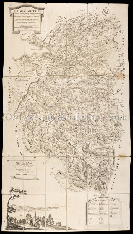
17831804AGWien, Johann Ernst Mansfeld, 1783. Kupferstichkarte, gestochen von Johann Anton Pfaundler. 115 x 66 cm.
68150Amsterdam, Amsterdams Historisch Museum, 1952 Oorspronkelijk uitgeversomslag, 28 pagina's, 26 x 19.5 cm. Nederlandstalige tekst. *prima staat.
1988G107194Turnhout, Brepols 1988 117pp. + 9 planches hors-texte, texte en allemand, 24cm., brochure originale, dans la série "Typologie des sources du moyen age occidental" fasc.51 (A-V.D.3*), très bon état, G107194
117pp. + 9 planches hors-texte, texte en allemand, 24cm., brochure originale, dans la série "Typologie des sources du moyen age occidental" fasc.51 (A-V.D.3*), très bon état, G107194
8770Swiss Watch & Jewelry Journal, Lausanne, s.d. Un fascicule in-8 carré, couverture blanche illustrée, 64 pages, illustrations en n&b, texte en allemand, anglais et français. Bon état.
VOLTOLINA VINCENZO PIANTA DELLA CITTA' DI PADOVA. , 1840, Molto buono (Very Good) Buon es.. incisione in rame <br> in quarto cm.45,7x37 <br> <br> <br>
Mm 205x280 Opera realizzata dall'Editore per conto del Mediocredito dell'Umbria. Volume in copertina rigida con sovraccoperta, 119 pagine con numerose illustrazioni in nero e a colori di tavole sulla cartografia umbra. Testo in italiano ed inglese - english-italian texts. Opera in ottime condizioni, pari al nuovo. Spedizione in 24 ore dalla conferma dell'ordine.
188484457- 1 carte 30 x 23 cm, pliée en deux.
188484456- 1 carte 30 x 23 cm, pliée en deux, réparée.
188484455- 1 carte 30 x 23 cm, pliée en deux.
188484454- 1 carte 30 x 23 cm, pliée en deux.
188484458- 1 carte 30 x 23 cm, pliée en deux.
190570146- Carte 40 x 50 cm, pliée en 2.
190570142- 5 cartes 40 x 50 cm, pliées en 2.
190570143- 5 cartes 40 x 50 cm, pliées en 2.