5 783 résultats
12046, Antwerpen, Bibliotheek van de Vrienden van het Mercatorfonds, 1994., Suite, niet gebonden, met foudraal, vergulde bandstempel op de voorplaat, rug versierd met vergulde titel, zonder omslagwikkel, 27,5x40cm, 92pp + 17 uitvouwbare kaarten in kleur. ISBN 9789061533177.
199480197[Anvers], Fonds Mercator et la Banque BNP Paribas Belgique, 1994. Grand in-4, 445[dont faux-titre et titre]-(1) pp. – (1) f.[Colophon/registre- ancien- de caractères], bradel toile verte, titre doré au dos, compas doré sur le plat supérieur, jaquette rempliée et étui illustrés en couleurs (reliure de l’Éditeur ; infimes défauts sur l’étui, sinon exemplaire quasi-parfait).
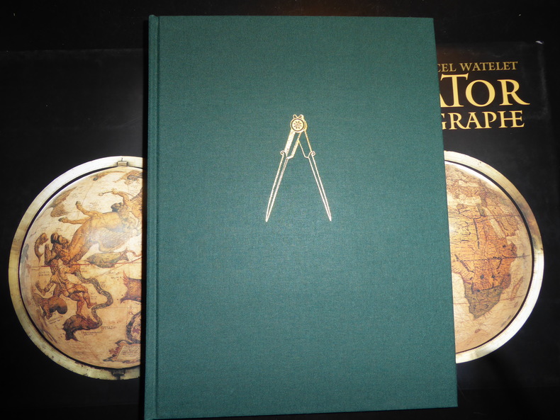
199457473Anvers, Fond Mercator, Paribas 1994 Grand in-4 25 x 34 cm. Reliure de l’éditeur pleine toile verte sous jaquette rempliée illustrée en couleurs et étui, 445 pp. Très nombreuses illustrations en noir et en couleurs dans le texte et à pleine page. Exemplaire en excellent état. Très bel ouvrage publié à l’occasion du 400e anniversaire de la mort de Gérard Mercator 1512-1594 humaniste, mathématicien, géographe des Pays-Bas espagnols, inventeur de la projection qui porte son nom.
533Antwerpen, Mercatorfonds, 1994 linnen band met goudstempeling, geplastificeerde stofomslag, 340 x 260 mm., 448 pp., 450 illustraties waarvan 350 in kleur. Cassette. ISBN 9061533139.
1940250450no city Spain: Wassermann 1940. Nineteen quarto leaves of alkaline paperstock each folded vertically in half to make nineteen separate advertising brochures of 8.5x5.5 inches all four faces of each brochure printed in colors with a come-on cover; pages within pp.2 & 3 print a detailed doublespread color map back cover mostly text with spot-color touches. Partial set 19 of an original total of 42. Each map features a different region or province in Spain including the Islands and North Africa while exterior covers boast a different medicine medications for the blood or bone for young and old: Take Aspasmol a sedative for spaamodic attacks &c &c. Please note that nos.13 and 37 use the same cover image but deal different meds and differing parts of Spain. All in nice condition clean and sound. Wassermann unknown books
16°, 19 cm, pp. 286, (8), tavola a colori con gli stemmi dei cantoni all'antiporta, numerose incisioni e alcune fotografie nel testo, a cura di Eligio Pometta. Rilegatura editoriale in mezza tela, titolo incorniciato al piatto. rare sottolineature a matita, qualche brunitura, timbro di libreria al frontespizio, esemplare nell'assieme molto buono
2 Vols., 4to, 347;368pp., numerous plates and illustrations throughout (many coloured), orig. decorated cloth. "The collection of printed atlases and associated books assembled by the late Lord Wardington. is, in my view, the finest collection in private hands. In Sotheby's two-part sale over 650 individual items have been catalogued spanning the years from 1472 to the late twentieth century. There are some interesting incunabula containing maps, an example of the first atlas to be printed - the 1477 Bologna atlas by Claudius Ptolemaeus - with some maps as proof sheets, and a further two dozen Ptolemaic atlases up to the early eighteenth century. There follows a very wide range of atlases - Dutch, French, German, English, and others, including a strong array of holdings from the twentieth century; indeed with fresh acquisitions up to a year or so ago. It is unlikely that an offering such as this to the open market will be repeated!"?Introduction.
196831223ABGattikon, Verlag Dorfpresse, 1968. Folio. 2 Bl. Mit 20 kol. faks. Karten. Lose in Pappmappe. + Wichtig: Für unsere Kunden in der EU erfolgt der Versand alle 14 Tage verzollt ab Deutschland / Postbank-Konto in Deutschland vorhanden +, A|B [2 Warenabbildungen]
Ril. in tela con sovr., cm 24.5x18, pp 353, alcune tavv. in b/n.. - ISBN: 0906430046
6 illustrazioni nel testo 20 illustrazioni fuori testo a colori e in bianco e nero
[French] Contain pictures. Contain a map. 14X22.5 XVIII+444 pages. Hardcover. Pages slightly yellowing. Else in good condition. PLEASE NOTE: This item is overweight. We may ask for extra shipping costs.
1840Map871London: Longman Hurst Row Orme & Co. 1840. 1st issue . Cloth. Vg. WALKERS COUNTY MAP SERIES. nd C1840. Folding map of Hampshire and The Isle of Wight laid on linen and dissected into 15 sections. Out-line hand-colour coloured woods and railway lines. Enclosed in a card case with a decorative paper label. Stain to the lower margin and affecting some folds otherwise an attractive travellers map in a v.g. condition. 41 x 34cms. <br/> <br/> Longman, Hurst, Row, Orme & Co. hardcover
1843Map872London: Longman Hurst Row Orme & Co. 1843. 1st issue . Cloth. Vg. WALKERS COUNTY MAP SERIES. nd c1843. Folding map of KENTlaid on linen and dissected into 15 sections. Out-line hand-colour coloured woods and railway lines. Enclosed in a card case with a decorative paper label. Covers worn otherwise an attractive travellers map in a very clean condition. 34 x41 cms.13 x 16 inches <br/> <br/> Longman, Hurst, Row, Orme & Co. hardcover
1840GT692London: Longman Rees Orme. 1840. 1st issue . Cloth. Vg. Folding map. WALKERS COUNTY MAP SERIES. nd C1840. Origina green boards with the original label with an attractive border. Folding map of Wiltshire laid on linen and folded into 15 sections. Out-line hand-colour coloured woods and railway lines. An attractive travellers map in a v.g. condition. 41 x 34cms.Parliamentary divisions updated in 1830. Please email for photos. <br/> <br/> Longman Rees Orme. hardcover
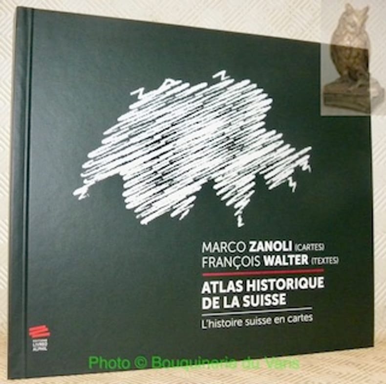
106916Neuchâtel, Editions Livreo-Alphil 2021, 245x285mm, 195pages, reliure d'éditeur. Format oblong. Très bel exemplaire.
28.5x23 cm. XXIV+277 pages. Hardcover in dust jacket. As new. PLEASE NOTE: This item is overweight. We may ask for extra shipping costs.
1999018413Mansfield Centre Connecticut: Martino Publishing 1999. 2 volumes bound as 1 complete. BRAND NEW HARDCOVER in perfect condition. STILL SEALED in the publisher's clear plastic SHRINKWRAP. NO rubbing. NO fading. Bright clean square and tight. Sharp corners. NOT a library discard. NO owner's name or bookplate. NOT a remainder. Fresh and crisp -- obviously never read. No date but 1999 First Martino printing "Limited Edition Facsimile". Reprint of the 1937 two volume set. 2 vols. in 1: xii pp. 1-270; iv pp. 271-543 13 maps not included in the pagination. Well illustrated with 41 map reproductions including 13 that fold-out. Bound in the original pale yellow cloth stamped in bright gold over a handsome dark green spine panel. "Although emphasis is on the Northwest Coast of America this is a useful reference work for the student of the cartographic history of America. It contains an extensive index bibliography and list of place names as well as a list of maps. An exhaustive and scholarly publication which includes a note on practically every important map. 1507-1794." -- Ristow GUIDE TO THE HISTORY OF CARTOGRAPHY #377. Howes USIANA W7. Oversize Hardcover. 8.75" wide by 11" tall. This large heavy book will require extra postage for international shipments but only the standard charge for priority or media mail. First Martino printing. Oversize Hardcover. New/in publisher's shrinkwrap. 2 vols. in 1: xii pp. 1-270; iv pp. 271-543. Great Packaging Fast Shipping. Martino Publishing Hardcover
1939153988Freiburg, Herder, (1939). M. Portr., Ktn. u. Abb. 15 S. OBr. Umschl. angeschmutzt.
108pp. + 1 folding map, 24cm., text in German, in the series "Vorstudien zur Geschichte der Kartographie" volume III, offprint from "Nachrichten der K. Gesellschaft der Wissenschaften zu Göttingen, Philo.-historische Klasse" 1894 nr.3, modern blind wrappers (original frontcover preserved), text in good condition, rare, A97532
Amsterdam, Israel, 1968, due volumi in uno in-4to tutta tela editoriale con titoli dorati, pp. XI-543 con 40 carte ripiegate fuori testo. Reprint dell’edizione Berkeley, 18937.
Ril. in tela con. cust., cm 4o,5 x 29,5, moltissime splendide carte a col.. Cet ouvrage, qui fait partie d'une collection de fac-simoleset dont l'original se trouve a la Bibliothequede l'Université d'Utrecht, est une pubblicationde Sequoia S.A.. Lausanne. Il a été achevé d'imprimer le premier juillet MCMLXIV.
196451655BB[Amsterdam], [N. Israel], 1964. Folio. 41 cm. Nicht durchgehend paginiert. [4] Blatt, 36 Seiten. XXX gefaltete Karten mit Beschreibung, [4] Blatt. Original-Leinenband mit Original-Pappschuber.
23 cm, ril. edit. in tela, titolo al dorso e piatto, sovracoperta illustrata, p. 188, 189 immagini e fotografie, 3 tavolea colori. Tracce d'uso alla sovracoperta - Umschlag mit Gebrauchsspuren - Dustjacket with signs of wear
68236Lausanne, Sequoia S.A., 1964 Folio dans cassette, 41x30cm + livre couverture rigide (72 pages), FR. *très bien.
Very Good German 9 original silver photographs; 6 with original cardboards, 3 on paper with their descriptive texts. Cardboards: 26x18 cm, photos: 13x9 cm. Title on cardboard and descriptions are in German. Cannot find any information about W. Dörflein. Photographs: Photo on titled cardboard (written "Reisebilder aus den Türkei" is a view from Aegean shores through the trees.; A view from Milet ruined city, can be seen mosque, village.; "Abstieg nach Tomatje" (i.e. Descent to tomatoes), can be seen a garden of tomatoes and butler of German traveler with his pony.; Ioran, Apollotempel von limps vorne (i.e. Ioran, Apollo temple of limps in front): Can be seen Apollon Temple.; Villa gegenüber der Insel Samos (Villa opposite the island of Samos).; Apollotempel zu Ioran (Apollon Temple in Ioran).; Last three photos glued on paper have descriptive autograph texts in German by Dörflein: "Kruppsches Feldgeschütz auf Pischan V. Abschnitt. Im Hintergründe das schneebedeckte Olitschka-Gebirge.; Drisko-Berg - Betonwerk Pischan - Das Zeltlager umfalste Im Festungsstab - Nazarett - V. Abschmitt: Pischan (Bisani oder Bezani).; Die schneebedeckten Berge stellen die griechische Grenze östl. des Arta-Flusses dar.; Beton werk der 15 cm. Haubitzen. Offiziers wohnung.; Mein Bursche Mustafa mit meinem Maulesel.". Small but a unique collection.