SAI Speed Math AcademyBiblio.com
SAI Speed Math AcademyBiblio.com
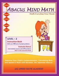
Abacus Mind Math Instruction Book Level 2: Step by Step Guide to Excel at Mind Math with Soroban a Japanese Abacus
20142-1941589030SAI Speed Math Academy 2014. Paperback. New. 130 pages. 11.00x8.50x0.31 inches. SAI Speed Math Academy paperback
Revaluation Books · Royaume-Uni65,63 £GB≈ 74,94 €