ANSON Georges; WALTER Richard:Livre Rare Book
11 983 résultats
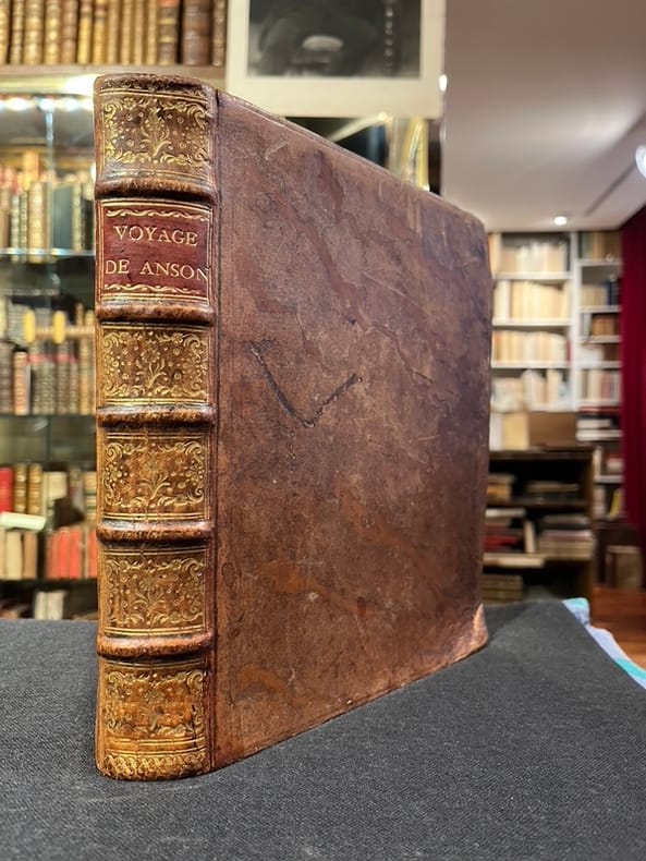
17504284Genève, Barillot et Fils, 1750. In-4 de XXIV-363p., pleine basane brune. Dos à nerfs orné de filets et fleurons dorés.
Very Good French Contemporary 1/4 leather bdg. with marbled boards. Small 4to. (27 x 19 cm). 23 p. (11 p. in Ottoman script (Old Turkish with Arabic letters; 12 p. in French), with rare 4 folded maps. A very good copy. First and only edition of this extremely rare bilingual book in French and Ottoman Turkish, including the first records on the formation and characteristics of storms to explain how storms and hurricanes occurred, which route they followed, and how they were conveyed to the regions that need to be warned by telegraph, for the vessels sailing in the seas, by French expert Coumbary who was founded the Rasathâne-i Âmîre [i.e. Ottoman Imperial Observatory]. Both the original French and Turkish translations of the work were published together in one volume. The work also included four maps which were drawn for this work only. The first map shows the movement of a storm that occurred on March 8, 1865, the second one shows the occurrence between the Tropic Cancer and Capricorn whirlwinds, storms in the Atlas and Indian oceans, the movements in the Bay of Bengal, the storms in different directions in the China Sea, the Gulfstream, Grönland, and Azores. The second observatory in the Ottoman era was established for meteorology. Before this center was established, beginning from the Reformation (1839), many meteorological observatories were built by foreigners in various cities such as Istanbul, Smyrna, Trebizond, Tekirdag, and Merzifon both as private and public establishments. The very first known temperature readings are the meteorological observations made by the Priest Dalmas at the St. Benôit monastery between 1839-1847. Later William Lane, an Englishman who came to Istanbul during the Crimean War, made observations at the British Cemetery at Haydarpasa. W. Noe, director of the Mekteb-i Fünûn-u Sahane made observations at the house in Kalyoncukulluk where he lived until the Beyoglu Fire in 1848; and finally, it is known that French engineer Ritter, who was invited by the government for waterworks in Kuruçesme (1856-1860) also conducted meteorological observations. Observations on precipitation and humidity conducted between 1875-1892 by an amateur observer on the Thomson Farm in Erenköy are invaluable on the subject of Istanbul's climate. These observations have been published in Budapest in 1928. Excellent observations on heat, pressure, and humidity, made in the summer residence of the Russian ambassador on Büyükada have also been published, in Annales St. Petersburg. In 1858, the French government established the first observatory communicating data over the telegraph, and in 1863, by compiling meteorological data in France, the French National Meteorological Network started operations. In 1868, upon the recommendation of the French government, the Rasathane-i Âmire was founded to convey meteorological forecasts to certain centers by telegraph. Instruments were purchased from leading European factories, and operations started on top of a hill 74 meters high on Pera. The first director was Mr. Aristide Coumbray, who came to Istanbul to renovate the telegraph network. (Instruments commissioned from France were set up at Mr. Coumbary's home, which stood at the garden of the Swedish Embassy. The observatory was later moved after its offices were prepared.) Coumbary represented Turkey in the first international meteorology congress, convened in Wien five years later in 1873. Rasathane-i Âmire worked by the same system as the National Meteorology Center in France. In the observation books of 1868 (August-November), names of affiliated stations are given to us Soulina, Köstence (Constantia), Varna, Burgaz, Valona, Elbasan, Durazzo, and Beirut. Later, stations in Izmir, Diyarbakir, Baghdad, and Fao were also added. The observatory founded by Aristide Coumbary in 1868 in Istanbul, operated until the end of the First World War. Özege 5735.; TBTK 7688, 10862.; Not in OCLC.
- S.n., Paris 1705, reliure : 34,5x50cm ; cartes : 60x48,5cm et 61x48,5cm et 59x47cm et 60x48cm et 60x48cm et 61x48cm et 61x48,5cm et 57,5x47,5cm, montées sur onglets sous reliure. - Edition originale. Sept plans réalisés par Coquart et un par De Fer : - Lutèce ou premier plan de la ville de Paris - Lutèce conquise par les François sur les Romains - Troisième plan de la ville de Paris, son étendüe et les Bourgs dont elle étoit environnée sous le règne de Loüis le Ieune VIIème du nom - Quatrième plan de la ville de Paris, son accroissement et l'état ou elle êtoit sous le regne de Philippe Auguste - Cinquième plan de la ville de Paris, son accroissement et sa quatrième clôture commancée sous Charles V l'an 1367 et finie sous Charles VI l'an 1383 - Sixième plan de la ville de Paris, et ses accroissements, depuis le commencement du Règne de Charles VII l'an 1422 jusqu'a la fin du regne d'Henry III l'an 1589 - Septième plan de la ville de Paris, son acroissement et ses embelissemens sous Henry IIII et Louis XIII depuis 1589 jusqu'en 1643 - Huitième plan de Paris divisé en ses vingts quartiers. Reliure en plein cartonnage bleu moderne, dos lisse, étiquette ancienne conservée sur le premier plat. Quelques petites restaurations marginales au verso de certaines planches. Très bel ensemble. [ENGLISH DESCRIPTION ON DEMAND]
1788024356London: Printed for J. Walker 1788. Book. Very Good. Hardcover. First Edition. 12mo. A very good four volume set in contemporary full tree calf binding with double lettering pieces in red and green. Complete pp. iii-vii 1 222; 2 206; 2 238 & 2 198. No half-titles which may or may not be wanting but the pagination for the prelims to vol. I might suggest that one is required Very good bindings with a little rubbing a couple of volumes slightly chipped to the head/tail of the spines corners lightly bruised. Contents clean and tight manuscript Greek initials to title pages dated 1788 otherwise unmarked no foxing paper crisp. A very good set. A Rare Eighteenth Century Novel. We have managed to located just one other copy at auction in the last thirty years and that at Sotheby's sale of July 21 1993 where it made £1000 on the hammer though seemingly not such a nice copy. Referenced by: ESTC T068744. Printed for J. Walker Hardcover
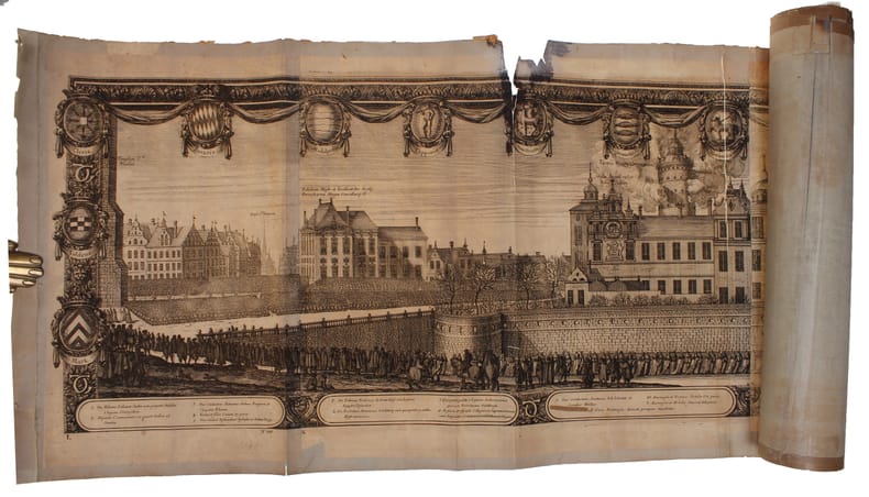
169632611(Nürnberg, 1696). The large engraving of the procession through Stockholm being composed of 13 engraved plates joined together, measuring 30x450 cm. (Plates numb. 1-13). Some mostly marginal dampstains, some marginal tears, some brownspots mainly marginal. Upper margin of plate 3 partly gone. Margins strenghtened at verso with brown paper. Some variation to paperquality, but in general in good strong impressions.
(Nürnberg, 1696). The large engraving of the procession through Stockholm being composed of 13 engraved plates joined together, measuring 30x450 cm. (Plates numb. 1-13). Some mostly marginal dampstains, some marginal tears, some brownspots mainly marginal. Upper margin of plate 3 partly gone. Margins strenghtened at verso with brown paper. Some variation to paperquality, but in general in good strong impressions.
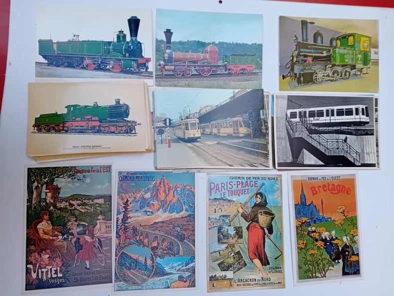
CP12Collection d'environ 700 cartes.
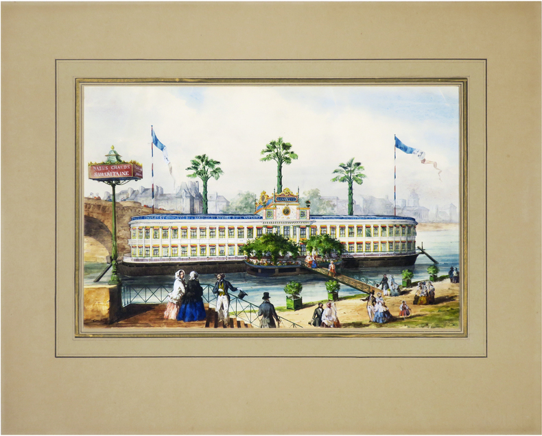
1850LBW-8931[circa 1850]. 244 x 375 mm ; monté sur passe-partout (seuls les deux coins supérieurs sont fixés).
Ca. 195 x 293 mm. Ink on vellum primed with gesso, annotated in Latin. An early map of Africa and Asia south of the Equator, Indonesia largely obscured by a defect to the upper right corner. Tristan da Cunha is identified, as well as the Antarctic Circle. The map also shows the hypothetical southern continent Terra Australis Incognita, merging into New Guinea at the very right edge of the vellum sheet. The "unknown land of the south" was first posited in antiquity and appeared on maps between the 15th and 18th centuries before its existence was finally disproven by the voyages of James Cook, which instead established the existence of Australia more or less in its place. - Ink rather faint in places. Surface slightly rubbed; some wrinkling and creasing; loss to upper right corner (ca. 6 x 3 cm).
Engraved map, printed from two plates and assembled. Ca. 1065 x 390 mm (printed area ca. 1005 x 350 mm). Large and decorative map of the Holy Land, printed from two plate, from Christian van Adrichem's "Theatrum terrae sanctae et biblicarum historiarum". Van Adrichem's map is oriented toward the east and shows the twelve tribes of Israel on both sides of the River Jordan. The coastline runs from Sidon in Lebanon to Alexandria in Egypt, also showing part of the Red Sea. In the Mediterranean, off the coast, several ships and sea monsters are visible. On the Dead Sea are four burning cities: Sodom, Gomorrah, Zeboim, and Adama. - Folds smoothed and reinforced in places. A good, strong impression.
1793LBW-42091793-1795. En deux feuilles jointes de 635 x 955 mm.
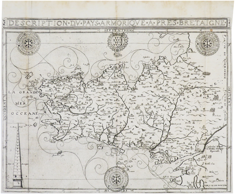
1618LBW-7707[Paris, Nicolas Buon, 1618]. 350 x 462 mm.
1955LBW-7920Paris, G. Barbarin et Cie, [circa 1955]. 695 x 990 mm, monté sur toile.
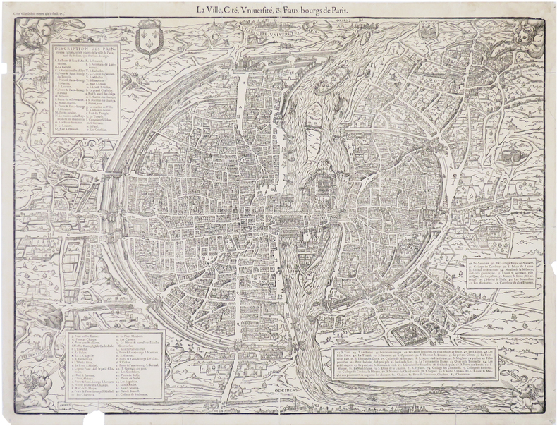
1575LBW-8239[Paris, Nicolas Chesneau, 1575]. 422 x 551 mm.
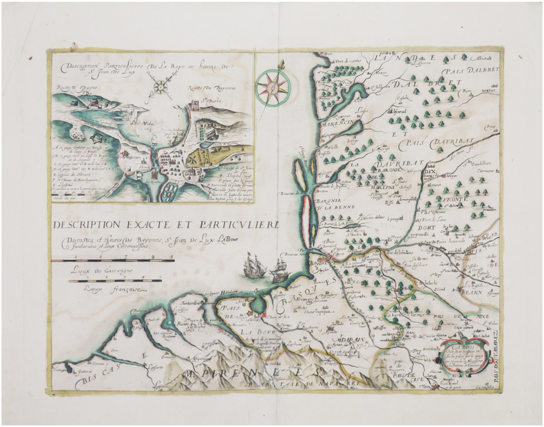
1642LBW-8043[Paris, 1642]. 335 x 450 mm.
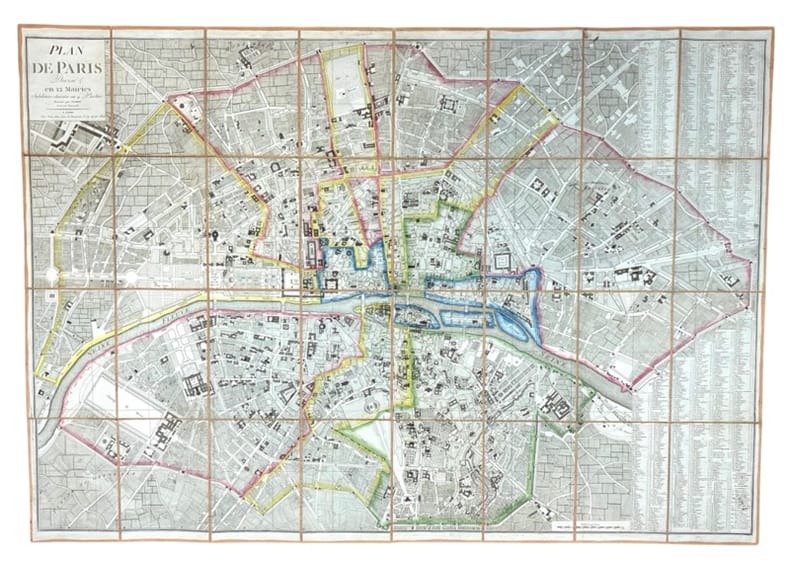
1804LBW-7306[Paris, F. Buisson, an XIII-1804]. 598 x 840 mm.
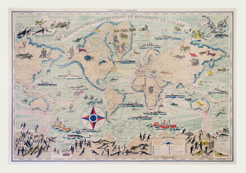
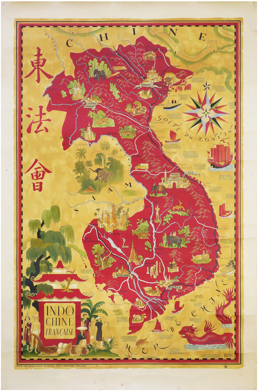
LBW-7939Paris, Perceval, [entre 1946 et 1947]. Lithographie en couleurs de 900 x 585 mm.
1700LBW-4180[circa 1700]. 552 x 792 mm.
18025851802 Paris, Chez Jean Goujon, 1802.
LBW-411520 juillet 1822. 285 x 385 mm, monté sur carton.
1760LBW-517Paris Chéreau 1760 circa 346 x 515 mm.
1760LBW-6851760 circa 342 x 516 mm.
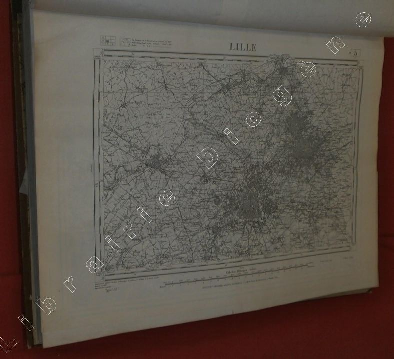
90355Edition de 1941 (sauf quelques cartes 1889 et 1931), 2 volumes grand in-folio de 490x625 mm environ, contenant des cartes en noir et blanc, la plupart en double-page, numérotées de 1 à 267, certaines bis, ter (9 bis - 160 bis, et 160 ter - 169 bis et 169 ter, 179 bis), dans un cartonnage avec dos et bordures toilés, titres dorés sur le dos, sur pièce de titre rouge, tome 1 : de 1 à 134, tome 2 : de 135 à 267. Manquent les cartes N° 18, 39, 87, 102, 116, 245 et 246 (ont été collées sur la carte adjacente, ou sont absentes car vue représentant la mer), papier un jauni par endroits, frottements sur le cartonnage et la toile, coins et coiffes émoussés, léger manque de papier sur un coin de la carte N° 169 (sans atteinte à la carte).
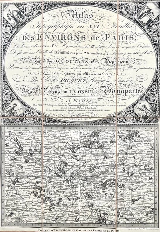
43496A Paris, chez Picquet et chez Deterville, 1800 - an 8. 1 tableau d'assemblage et 16 feuilles de 125 x 40 cm. chacune (12, 5 x 20,3 cm repliées), entoilées, conservées dans 2 étuis de l'époque en demi-maroquin rouge, dos lisse orné.
1720LBW-41401720. 510 x 778 mm, monté sur toile.