11 981 résultats
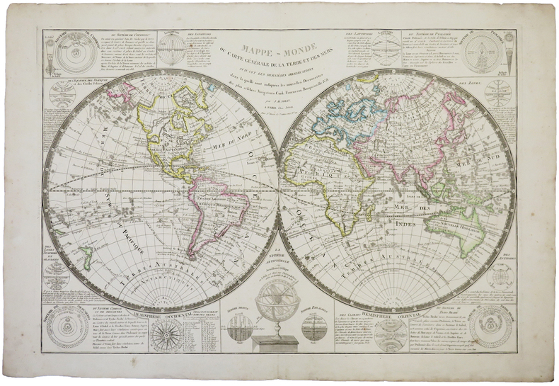
Primo stato di questa non comune carta del mondo del XVIII secolo, successivamente ristampata nel 1775 e 1787. La carta mostra le numerose esplorazioni del secolo ed è altamente decorativa. La carta è largamente più conosciuta per la sua comune ristampa del 1787, curata dall'editore Louis Joseph Mondhare, che raffigura la scoperta delle Hawaii (Isole Sandwich o Why, come indicato sulla mappa), le esplorazioni nella costa nord-occidentale dell'America e quelle dei viaggi di Cook (1773,1775, 1776, 1777, 1777, 1778), Jean Baptiste Louis Clouet era membro dell'Accademie Royale des Sciences di Rouen e fu autore della Geographie Moderne (1767). Acquaforte, in ottimo stato di conservazione. Magnifico esemplare in piena coloritura coeva. First state of this uncommon World map with the major 18th century explorers. Rare separately published double hemisphere map of the world, issued by Clouet in Paris. The map is largerly known for his second and common issue by Louis Joseph Mondhare (1787) showing the discovery of Hawaii (Ile Sandwich ou Why, as named on the map) and explorations in the Northwest Coast of America are quite prominent, and the major 18th century explorers like Cook (1773,1775, 1776, 1777, 1778). Jean Baptiste Louis Clouet (born 1730) was a member of the Academie Royale des Sciences de Rouen and the author of Geographie Moderne (1767). Etching with full contemporary colour, very good conditions.
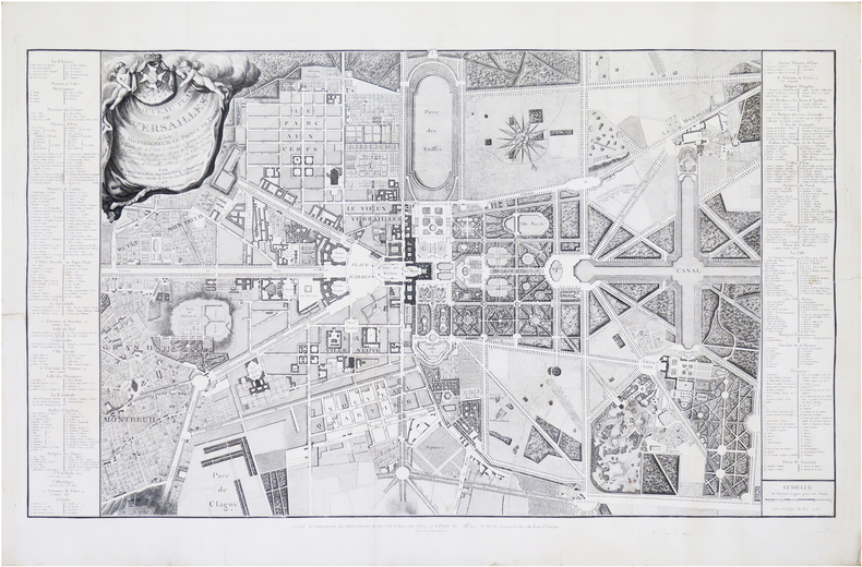
1787LBW-8256Versailles, Blaizot Libraire du Roy et de la Reine, et Paris, de La Marche, 1787. 590 x 977 mm.
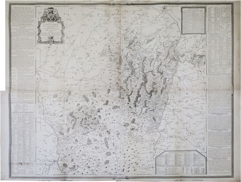
1775LBW-89281775. En 4 feuilles jointes formant une carte de 1,12 x 1,29 m.
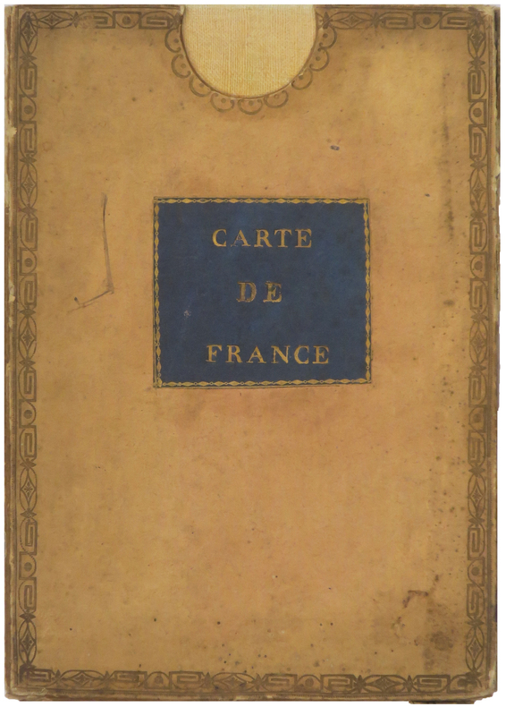
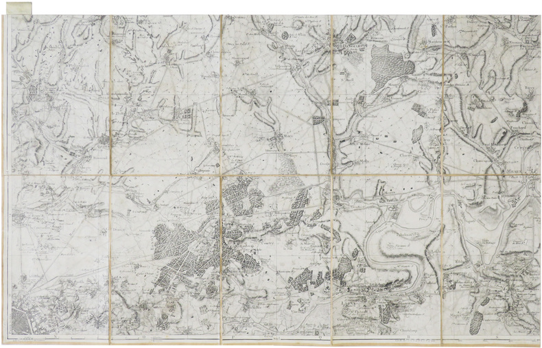
1802LBW-8218Paris, [circa 1802]. En 28 sections montées sur toile et repliées, formant une carte de 1,08 x 1,32 m ; sous étui de papier avec pièce de titre bleue.
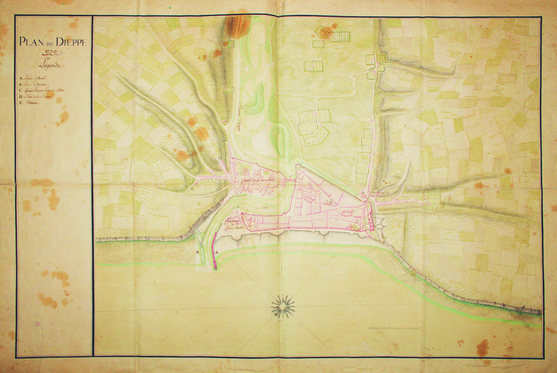
1730LBW-41561730. 600 x 905 mm.
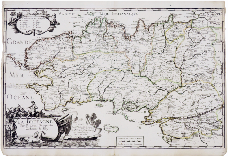
1689LBW-7367Paris, Mlle du-Val, 1689. 364 x 577 mm.
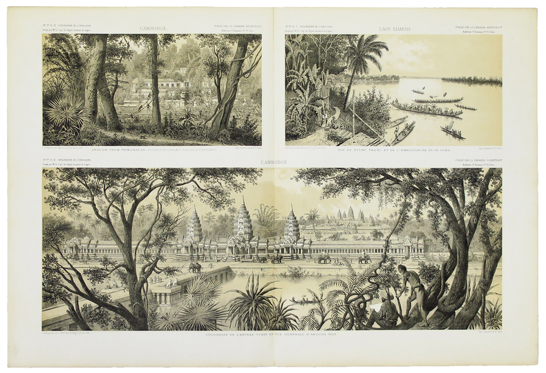
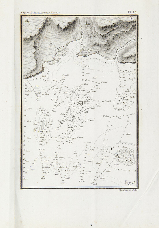
1808PHO-1626Paris, Imprimerie impériale, 1808. 2 grands et forts volumes in-4 (32x24), lvi, 704 p., 33 pl. ; viii, 692 p., relié demi basane et coins moderne, dos avec auteur, titre, tomaison, lieu et date, exlibris en page de garde, non rogné, tome 2 non coupé, petite mouillure au tome 2, petites rousseurs aux illustrations du tome 1. Exemplaire sur papier bleuté, complet de son illustration mais sans son atlas de cartes
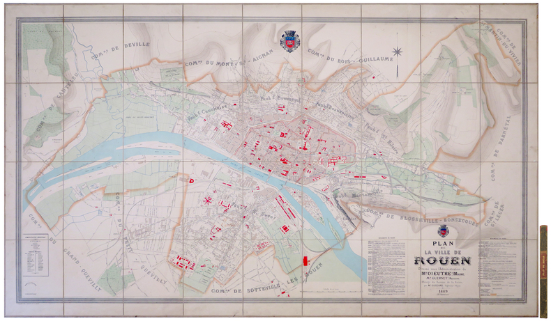
1889LBW-80761889. En 36 sections montées sur toile et repliées, formant un plan de 1,18 x 1,94 m ; étiquette au dos de l'éditeur parisien Lanée, successeur de Longuet ; sous chemise et étui de papier marbré de l'époque, avec pièce de titre rouge au dos.
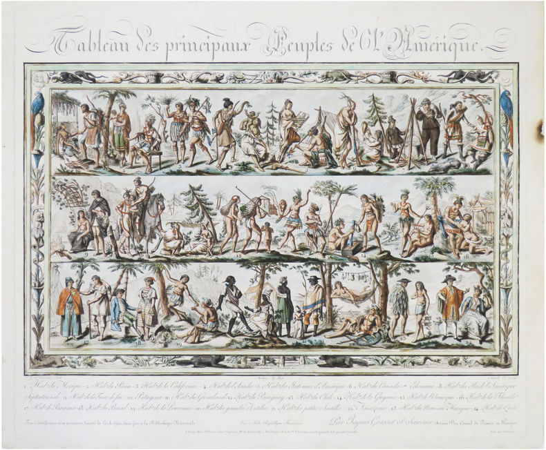
1799LBW-5392Paris, chez l'auteur, An 7 [1799]. 417 x 497 mm, montée sur carton et sous passe-partout.
1799LBW-9022Paris, chez l'auteur, et à Bordeaux, chez la C.ne S.t Sauveur, An 7 [1799]. 425 x 498 mm.
LBW00284St. Gallen J.B. Isenring circa 1840 400 x 490 mm.
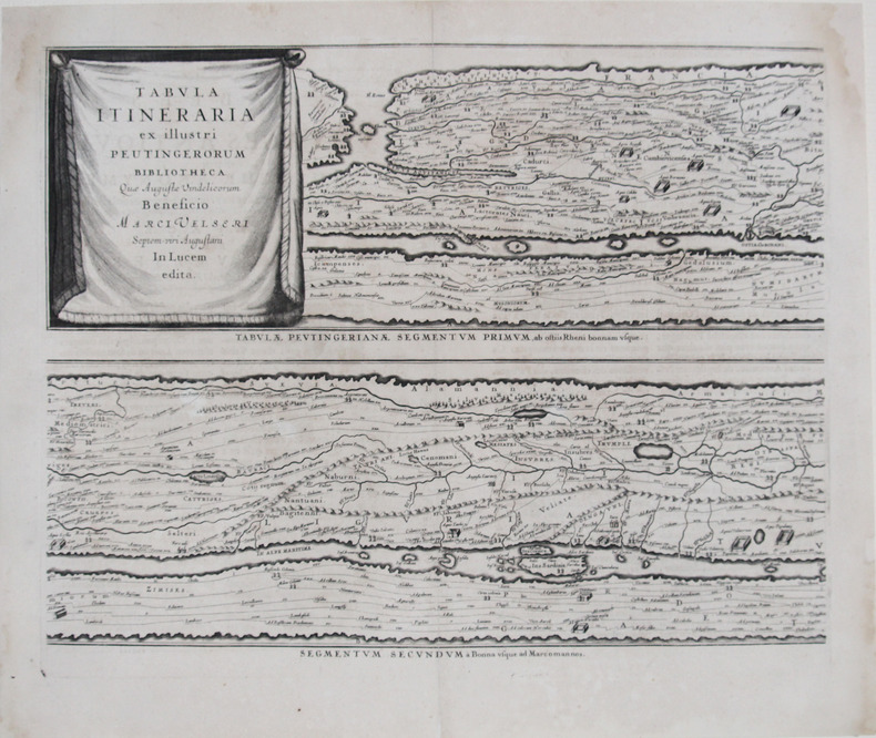
LBW-2625[Amsterdam, 1657-1658]. En quatre feuilles, chacune d'environ 398 x 512 mm.
Grande pianta della città stampata su due fogli, ispirata alla celebre carta del Pirro Ligorio del 1561.Questa straordinaria ricostruzione di Roma durante il regno di Augusto, arricchita da una cospicua legenda con 269 richiami, costituisce il lavorò più ambizioso contenuto nel Civitates Orbis Terrarum, del quale oltretutto è una delle sole tre mappe a doppio foglio. Incisione in rame, finemente colorata a mano, in eccellente stato di conservazione. Opera tratta dal "Theatrum praecipuarum urbium" celebre teatro delle città del Janssonius, sullo stile del "Civitates Orbis Terrarum" di Braun & Hogenberg. La raccolta, pubblicata ad Amsterdam tra il 1652 ed il 1657, contiene 500 tavole raffiguranti città di ogni parte del mondo. Contrariamente al lavoro degli acerrimi rivali Blaeu, Janssonius si servì per la realizzazione dell'opera delle lastre di precedenti cartografi ed editori. In particolare nel 1653 egli acquisto da Abraham Hogenberg le lastre del "Civitates orbis Terrarum" che incorporò nella sua opera, ristampandole, con alcune modifiche. Per le piante delle città olandesi, ordinò delle nuove lastre basate sull'atlante che Johannes Blaeu diede alla luce nel 1649. Per molte delle opere contenute nel 5° volume, quello dedicato all'Italia e denominato "Theatrum celebriorum urbium Italiae..", si servì delle lastre realizzate da Jodocus Hondius per l'opera "Italia Hodierna.." del 1627. Nella pianta di Roma antica cambia il decoro del cartiglio in alto, mentre in basso ai lati del cartiglio sono aggiunte dei personaggi. Incisione in rame, finemente colorata a mano, in ottimo stato di conservazione. Map of the city printed on two sheets, inspired by the famous work by Pirro Ligorio, printed by Michele Tramezzino in 1561. This extraordinary reconstruction of Rome during the reign of Augustus, enriched by a conspicuous legend with 269 references, constitutes the most ambitious work contained in the Civitates Orbis Terrarum, of which it is one of only three double-sheet maps. Work taken from the "Theatrum praecipuarum urbium" famous theatre of the cities of Janssonius, in the style of Braun & Hogenberg's "Civitates Orbis Terrarum". The collection, published in Amsterdam between 1652 and 1657, contains 500 plates depicting cities from all over the world. Janssonius used the plates of previous cartographers and publishers to create the work. In particular, in 1653 he bought the plates of the "Civitates orbis Terrarum" from Abraham Hogenberg, who incorporated them into his work and reprinted them with some modifications. For many of the works contained in the 5th volume, the one dedicated to Italy and called "Theatrum celebriorum urbium Italiae...", he used the plates made by Jodocus Hondius for the work "Italia Hodierna..." of 1627. In the map of ancient Rome the decoration of the cartouche at the top changes, while at the bottom at the sides of the cartouche are added characters. Copper engraving, finely coloured by hand, in excellent condition.
8vo. Fan-folded, hand-coloured aquatint (with 9 folding double leaves, c. 195 x 1980 mm) in contemporary blindstamped blue boards with floral design and mounted border. In slipcase with mounted title. The finest and rarest of Keller's panoramas in contemporary colour, depicting the view from Mount Rigi from Risch on Lake Zug to Kuessnacht on Lake Lucerne. Not to be confused with Keller's much more common like-titled panoramas of merely half size, published from 1820 onwards (cf. Harteveld Cat. 206, no. 123: their copy described as "splendidly coloured copy, then sold for the fourfold price of copies in simple colour"). In 1823 Keller was to publish yet another large-format panorama as part of a book with the same title, again not identical with this present view. - The title label bears the publisher note as quoted above; the view itself is captioned: "Gezeichnet auf dem Rigi-Kulm, 1814, von H. Keller, Vermehrt u. Berichtigt 1816 / gestochen von J. J. Scheurmann 1815". Two flaps (measuring 70 x 160 mm) can be folded out at the bottom, through with the view includes Arth on Lake Zug. Similarly, Mount Rossberg is also inserted as a flap, behind which the viewer may uncover Lake Aegeri and Eccehomo. Mounted on the back pastedown is a coloured engraving: "Le Mont Righi, dessiné près de Zoug" (175 x 107 mm; B. Bullinger del., F. Hegi sc.). - Minute paper defect on the horizon at far left, otherwise in perfect condition. Binding with occasional insignificant staining; altogether very clean. Insignificant bumping to edges of slipcase. Ms. ownership note by the Austrian actor Joseph Koberwein (1774-1857). The son of the important travelling actor Simon Friedrich Koberwein made his debut in 1796 at the Vienna Court Theatre and remained as a member of the ensemble until 1846. His principal roles were Ferdinand, Leicester, and Wallenstein. - Very rare; library and collection catalogues (OCLC, British Library, etc.) list only the later editions. Cf. Lonchamp 1672 (note). Barth 193787ff. (book edition only).
Rarissima ristampa della lastra anonima - attribuita ad Antonio Lafreri, databile al 1555/60. Esemplare nel quarto stato di quattro descritto in Bifolco-Ronca, pagina 2377, con l'indirizzo di Jollain. In alto a sinistra l’iscrizione Urbis Rome totius olim orbis domitricis, situs: cum adhuc extantibus, sacrosancte vetustatis monumentis PIRRHO LIGORIO NEAP. INVENTOR. Orientazione nei quattro lati al centro con il nome dei punti cardinali SEPTENTRIO, MERIDIES, ORIENS, OCCIDENS, il nord a sinistra. Anonima pianta prospettica della città, basata sulla pianta di Pirro Ligorio, edita da Michele Tramezzini nel 1552. La pianta è inserita in alcuni esemplari dello Speculum Romanae Magnificentiae di Antonio Lafreri, al quale, pertanto, viene attribuita. Il grande interesse storico di questa pianta non è dato dall’opera stessa, una semplice copia del lavoro del Ligorio, ma è rappresentato dalle tirature successive di questa lastra. Il secondo stato, databile alla seconda metà del XVII secolo, è completamente emendato ed arricchito da toponomastica in lingua francese. Viene inserita anche una lunga descrizione della città, sempre in lingua francese. Alla morte di Antonio Lafreri (1577), i due terzi delle lastre furono divisi tra i nipoti Stefano e Claudio Duchetti. Il restante terzo venne suddiviso tra più editori. Questa lastra, quindi, potrebbe avere preso la via di Parigi, dove venne ristampata circa un secolo dopo. In alternativa, la carta potrebbe essere stampata Roma ed emendata in lingua francese. Tale edizione viene descritta da Hülsen (1915), che la annovera tra le “Copie e ristampe”, come "Incisa nel sec. XVII ex.ovvero XVIII. Ne vidi una copia presso il sig. Lang nel 1914" (la libreria antiquaria Lang di Roma). Un altro esemplare, che tuttavia potrebbe essere lo stesso citato da Hülsen, è descritto nella biblioteca della British School of Rome, appartenuto alla celebre collezione di Thomas Ashby (1874-1931), direttore dell’accademia dal 1906 al 1925. Sempre Hülsen cataloga lo stato finale dell’opera, con l’indirizzo dell’editore francese Francois Jollain. L’opera appartiene allo Speculum Romanae Magnificentiae, la prima iconografia della Roma antica. Lo Speculum ebbe origine nelle attività editoriali di Antonio Salamanca e Antonio Lafreri (Lafrery). Durante la loro carriera editoriale romana, i due editori - che hanno lavorato insieme tra il 1553 e il 1563 - hanno avviato la produzione di stampe di architettura, statuaria e vedutistica della città legate alla Roma antica e moderna. Le stampe potevano essere acquistate individualmente da turisti e collezionisti, ma venivano anche acquistate in gruppi più grandi che erano spesso legati insieme in un album. Nel 1573, Lafreri commissionò a questo scopo un frontespizio, dove compare per la prima volta il titolo Speculum Romanae Magnificentiae. Alla morte di Lafreri, due terzi delle lastre di rame esistenti andarono alla famiglia Duchetti (Claudio e Stefano), mentre un altro terzo fu distribuito tra diversi editori. Claudio Duchetti continuò l’attività editoriale, implementando le lastre dello Speculum con copie di quelle “perdute” nella divisione ereditaria, che fece incidere al milanese Amborgio Brambilla. Alla morte di Claudio (1585) le lastre furono cedute – dopo un breve periodo di pubblicazione degli eredi, in particolare nella figura di Giacomo Gherardi - a Giovanni Orlandi, che nel 1614 vendette la sua tipografia al fiammingo Hendrick van Schoel. Stefano Duchetti, al contrario, cedette le proprie matrici all’editore Paolo Graziani, che si associò con Pietro de Nobili; il fondo confluì nella tipografia De Rossi passando per le mani di editori come Marcello Clodio, Claudio Arbotti e Giovan Battista de Cavalleris. Il restante terzo di matrici della divisione Lafreri fu suddiviso e scisso tra diversi editori, in parte anche francesi: curioso vedere come alcune tavole vengano ristampate a Parigi da Francois Jollain alla m... A very rare map of the city, published in Paris in the mid-seventeenth century using the plate made in Rome by Antonio Lafreri. Example of the fourth state of four, with the Jollain's imprint. The map is based on that of Pirro Ligorio, 1552, edited by Michele Tramezini in Rome, and its subsequent and numerous variants. In the upper left the inscription Urbis Rome totius olim orbis domitricis, situs: cum adhuc extantibus, sacrosancte vetustatis monumentis PIRRHO LIGORIO NEAP. INVENTOR. Orientation in the four sides to the center with the name of the cardinal points SEPTENTRIO, MERIDIES, ORIENS, OCCIDENS, the north on the left. Anonymous map of the city, based on the work byPirro Ligorio, published by Michele Tramezzini in 1552. The ma is inserted in some of the Speculum Romanae Magnificentiae of Antonio Lafreri, to which therefore it is attributed. The great historical interest of this map is not given by the work itself, a simple copy of Ligorio's work, but is represented by the subsequent issues of this plate. The second state, datable to the second half of the seventeenth century, is completely amended and enriched by toponymy in French. A long description of the city is also included, again in French. It is known that, at the death of Antonio Lafreri (1577), two thirds of the plates were divided between his nephews Stefano and Claudio Duchetti. The remaining third was divided among several publishers. This plate therefore may have taken the road to Paris, where it was reprinted about a century later. This edition is described by Hülsen (1915), who lists it among the "Copies and reprints", as "Engraved in the seventeenth century ex.ovvero XVIII. According with Bifolco-Ronca this is the final state of the work, with the address of the French publisher Francois Jollain. The work belongs to the Speculum Romanae Magnificentiae, the earliest iconography of ancient Rome. The Speculum originated in the publishing activities of Antonio Salamanca and Antonio Lafreri (Lafrery). During their Roman publishing careers, the two editors-who worked together between 1553 and 1563-started the production of prints of architecture, statuary, and city views related to ancient and modern Rome. The prints could be purchased individually by tourists and collectors, but they were also purchased in larger groups that were often bound together in an album. In 1573, Lafreri commissioned a frontispiece for this purpose, where the title Speculum Romanae Magnificentiae appears for the first time. Upon Lafreri's death, two-thirds of the existing copperplates went to the Duchetti family (Claudio and Stefano), while another third was distributed among several publishers. Claudio Duchetti continued the publishing activity, implementing the Speculum plates with copies of those "lost" in the hereditary division, which he had engraved by the Milanese Amborgio Brambilla. Upon Claudio's death (1585) the plates were sold - after a brief period of publication by the heirs, particularly in the figure of Giacomo Gherardi - to Giovanni Orlandi, who in 1614 sold his printing house to the Flemish publisher Hendrick van Schoel. Stefano Duchetti, on the other hand, sold his own plates to the publisher Paolo Graziani, who partnered with Pietro de Nobili; the stock flowed into the De Rossi typography passing through the hands of publishers such as Marcello Clodio, Claudio Arbotti and Giovan Battista de Cavalleris. The remaining third of plates in the Lafreri division was divided and split among different publishers, some of them French: curious to see how some plates were reprinted in Paris by Francois Jollain in the mid-17th century. Different way had some plates printed by Antonio Salamanca in his early period; through his son Francesco, they goes to Nicolas van Aelst's. Other editors who contributed to the Speculum were the brothers Michele and Francesco Tramezzino (authors of numerous plates that flowed in part to the Lafreri printing house), Tommaso Barlacchi,...
1660LBW-4146[circa 1660]. En deux feuilles jointes de 390 x 586 mm.
1652LBW-36911652. En quatre feuilles jointes formant une carte de 633 x 757 mm.
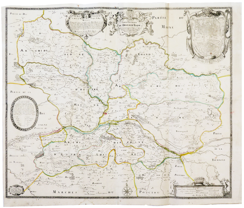
1731LBW-41211731. En quatre feuilles jointes de 500 x 900 mm.
1777PHO-2396Paris : chez Ph. -D. Pierres & Clousier, imprimeur-libraire, rue saint-Jacques, 1777-1785. 12 volumes in-4 (260x200mm), relié demi basane, dos à nerfs avec titre et tomaison. Page de titre du tome 8 détachée, plats frottés, quelques coiffes accidentées, petits manques aux dos (t4 &10), coins émoussés, quelques rousseurs en début et fin de volume. Illustré de 16 planches (complet) et 3 cartes dépliantes par Brion d’après le P. de Mailla et 5 tableaux dépliants.
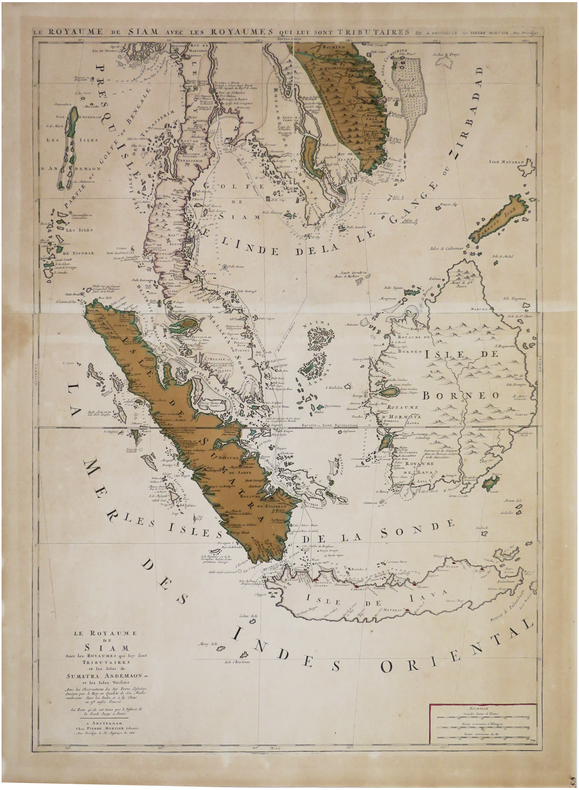
1700LBW-8119Amsterdam, Pierre Mortier, [circa 1700]. En deux feuilles jointes formant une carte de 785 x 558 mm.
1800LBW-744Paris, Jean, [circa 1800]. 513 x 754 mm.
LBW-8983Paris, Picquet et Deterville, An 8 - 1800 1 tableau d'assemblage de 392 x 285 mm, et 16 feuilles d'environ 395 x 630 mm, coupées en sections montées sur toile et repliées, avec onglets de vélin renseignés du titre et du numéro de la feuille ; au dos du tableau d'assemblage, étiquette de l'éditeur Charles Picquet et petite carte d'assemblage des 16 feuilles ; au dos des 16 feuilles, petite carte d'assemblage ; sous 2 emboîtages petits in-4 en demi-maroquin rouge de l'époque, avec dos ornés.