BERNARD (A.).Livre Rare Book
11 984 résultats
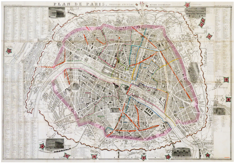
1859LBW-6180Paris, A. Bernard, 1859. En 40 sections jointes formant un plan de 580 x 855 mm.
LBW04170Amsterdam Petrus Schenk circa 1680 497 x 588 mm.
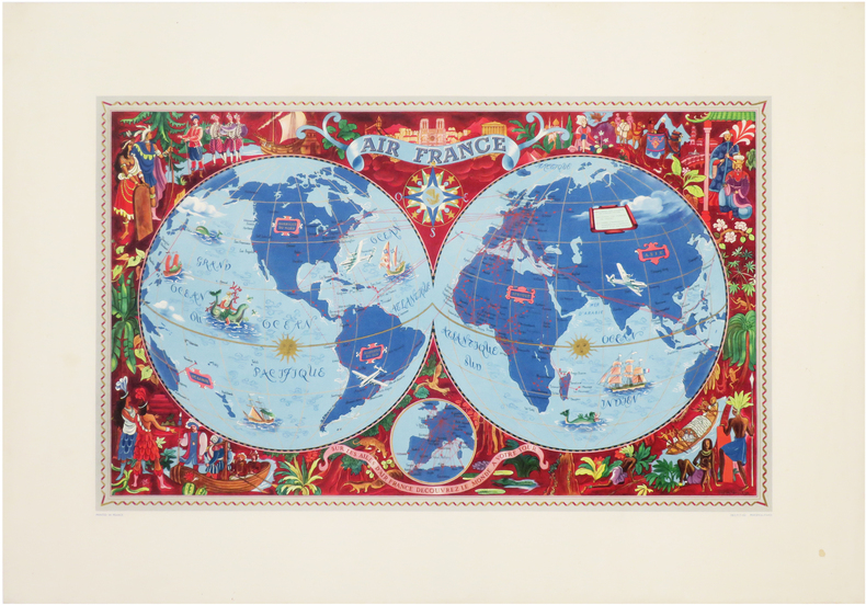
1959LBW-6644Paris, Blondel La Rougery, 1959. 750 x 980 mm.
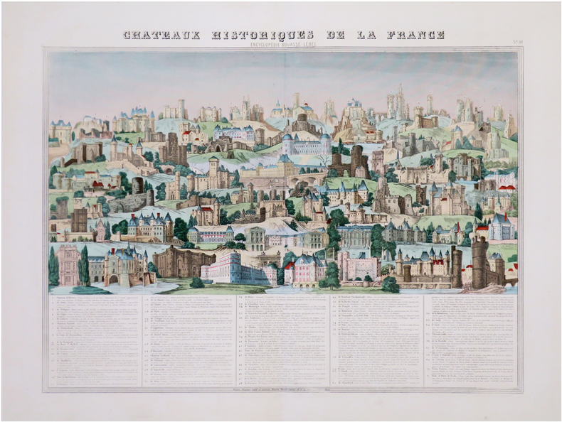
1865LBW-8433Paris, Maison Bouasse Lebel et ancienne Maison Basset réunies, [circa 1865]. 450 x 588 mm.
1952LBW-7586Paris, Perceval, 1952. Lithographie en couleurs de 357 x 573 mm.
1950LBW-6316Paris, Perceval, [circa 1950]. Lithographie en couleurs de 953 x 692 mm.
1951LBW-8627Paris, Éditions Blondel La Rougery, 1951. 0,73 x 1,09 m.
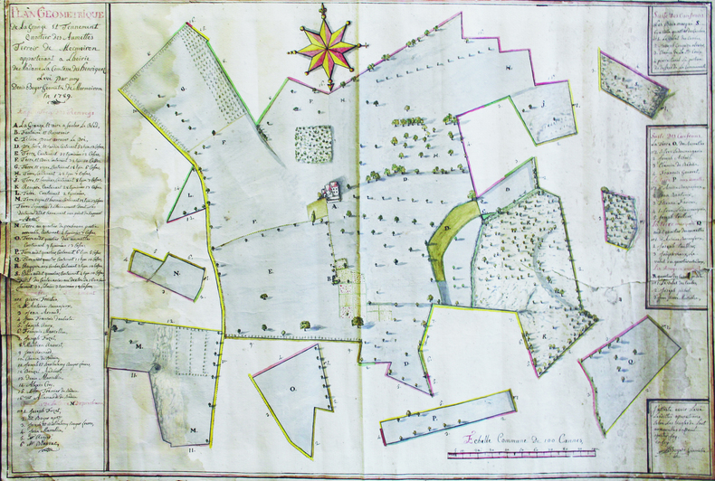
1789LBW-66411789. 63 x 94 cm, sur une feuille de 66 x 96,5 cm.
Pianta archeologica di Roma, a proiezione verticale obliqua, orientata con il nord in alto.La pianta deriva da quella che Pirro Ligorio disegna per l'editore Michele Tramezzino nel 1552. Si tratta della prima derivazione stampata all'estero ed è ridotta leggermente nelle dimensioni. Erroneamente viene indicata come data d'esecuzioni il 1570, invece del 1552. Appare per la prima volta nel 1575, inserita nel Civitates Orbis Terrarum, il primo atlante devoto esclusivamente alle piante e vedute delle principali città del mondo. L’opera è inserita nel Civitates Orbis Terrarum, il primo atlante devoto esclusivamente alle piante e vedute delle principali città del mondo. Il primo volume delle Civitates Orbis Terrarum fu pubblicato a Colonia nel 1572. Il sesto e ultimo volume apparve nel 1617. Questo grande atlante di città – cartografia urbana - curato da Georg Braun e inciso in gran parte da Franz Hogenberg, conteneva 546 prospettive, vedute a volo d'uccello e vedute cartografiche di città di tutto il mondo. Franz Hogenberg realizzò le tavole dei primi quattro volumi e Simon van den Neuwel (Novellanus, attivo dal 1580) quelle dei volumi V e VI. Georg Braun (1541-1622), un ecclesiastico di Colonia, fu il principale redattore dell'opera e fu molto aiutato nel suo progetto dalla vicinanza e dal continuo interesse di Abraham Ortelius, il cui Theatrum Orbis Terrarum del 1570 fu, come raccolta sistematica e completa di mappe di stile uniforme, il primo vero atlante. Le Civitates, in effetti, erano destinate ad accompagnare il Theatrum, come indicato dalla somiglianza dei titoli e dai riferimenti contemporanei sulla natura complementare delle due opere. Tuttavia, le Civitates erano progettate per avere un approccio più popolare, senza dubbio perché la novità di una raccolta di piante e vedute di città rappresentava un'impresa commerciale più rischiosa di un atlante mondiale, per il quale c'erano stati diversi precedenti di successo. Franz Hogenberg (1535-1590) era figlio di un incisore di Monaco che si era stabilito a Malines. Incise la maggior parte delle tavole del Theatrum di Ortelius e la maggior parte di quelle delle Civitates, e potrebbe essere anche indicato come il responsabile dell'origine del progetto. Oltre un centinaio di artisti e cartografi diversi, il più importante dei quali fu l'artista di Anversa Georg Hoefnagel (1542-1600), fornirono i disegni per le tavole delle Civitates. Hoefnagel non solo contribuì alla maggior parte del materiale originale per le città spagnole e italiane, ma rielaborò e modificò anche quello di altri collaboratori. Dopo la morte di Hoefnagel, il figlio Jakob continuò il lavoro per le Civitates. Gli autori della raccolta si proponevano di raffigurare "non icones et typi urbium", cioè non immagini generiche e tipizzate, "sed urbes ipsae admirabili caelaturae artificio, spectantium oculis subiectae appareant": non intendeva alludere o idealizzare, ma rappresentare fedelmente sulla carta, riprodurre esattamente, e in tempo reale, ciò che l'occhio vede, come annunciato nella prefazione al primo volume delle Civitates Orbis Terrarum. Incisione in rame, finemente colorata a mano, in ottimo stato di conservazione. Archeological map of Rome published in the Civitates Orbis Terrarum of 1575.The map is a close copy of the Pirro Ligorio map of Rome (1552, published by Michele Tramezzino) reduced in size. Latin text edition. The work is included in the Civitates Orbis Terrarum, the first atlas devoted exclusively to plans and views of the world's major cities. Printed in six volumes between 1572 and 1617 it was so successful and widespread that several editions translated into Latin, German and French were printed. The first volume of the Civitates Orbis Terrarum was published in Cologne in 1572. The sixth and the final volume appeared in 1617. This great city atlas, edited by Georg Braun and largely engraved by Franz Hogenberg, eventually contained 546 prospects, bird-eye views and map views of cities from all over the world. Fransz Hogenberg produced the plates for the first four books, and Simon van den Neuwel (Novellanus, active since 1580) those for volumes V and VI. Georg Braun (1541-1622), a cleric of Cologne, was the principal editor of the work, and was greatly assisted in his project by the close, and continued interest of Abraham Ortelius, whose Theatrum Orbis Terrarum of 1570 was, as a systematic and comprehensive collection of maps of uniform style, the first true atlas. The Civitates, indeed, was intended as a companion for the Theatrum, as indicated by the similarity in the titles and by contemporary references regarding the complementary nature of two works. Nevertheless, the Civitates was designs to be more popular in approach, no doubt because the novelty of a collection of city plans and views represented a more hazardous commercial undertaking than a world atlas, for which there had been a number of successful precedents. Franz Hogenberg (1535-1590) was the son of a Munich engraves who settled in Malines. He engraved most of the plates for Ortelius's Theatrum and the majority of those in the Civitates, and may have been responsible for originating the project. Over a hundred of different artists and cartographers, the most significant of whom was Antwerp artist Georg Hoefnagel (1542-1600), engraved the cooper-plates of the Civitates from drawings. He not only contributed most of the original material for the Spanish and Italian towns but also reworked and modified those of other contributors. After Hoefnagel's death his son Jakob continued the work for the Civitates. The author set out to depict "non icones et typi urbium," that is, not generic and typified images, "sed urbes ipsae admirabili caelaturae artificio, spectantium oculis subiectae appareant": not intended to allude or idealize but to represent faithfully on paper, to reproduce exactly, and in real time, what the eye sees, as announced in the preface to the first volume of Civitates Orbis Terrarum. Copperplate with fine later hand colour, good condition. Scaccia Scarafoni p. 29, n. 22.
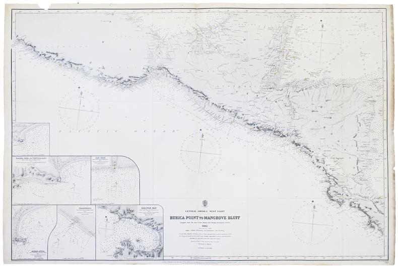
1882LBW-4995London, 1882-1892. 654 x 978 mm.
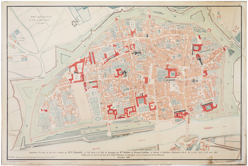
1886LBW-6399Compiègne, Société Historique de Compiègne, 1886. 657 x 975 mm ; monté sur carton fort.
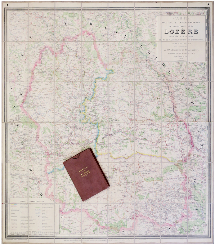
1878LBW-62971878. En 48 sections montées sur toile et pliées, formant une carte de 1,17 x 1,04 m, sous chemise et étui portant le titre en lettres dorées sur le premier plat et au dos.
1774LBW-7557Paris, Lattré, 1774. 331 x 376 mm.
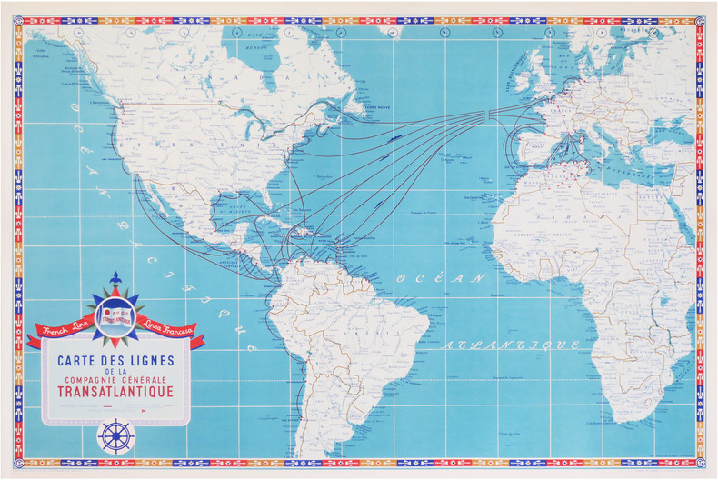
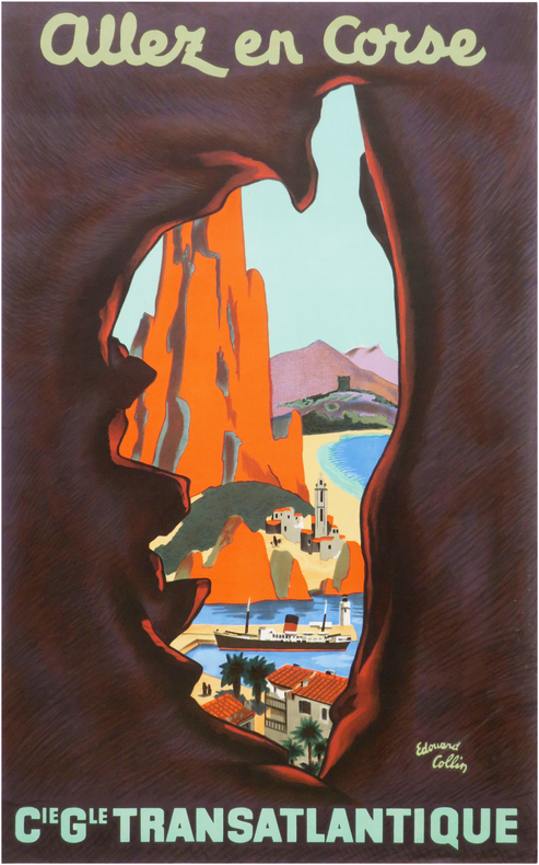
1950LBW-8706[New-York]; Éditions Transatlantique, [vers 1950]. 644 x 400 mm.
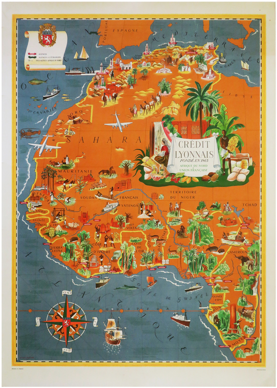
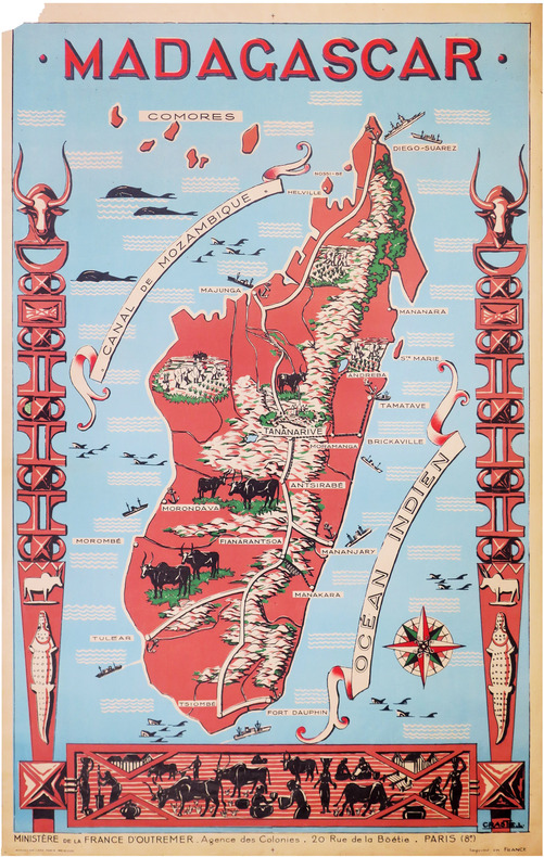
1950LBW-8591Paris, Affiches Gaillard, [vers 1950]. 1,16 x 0,74 m ; sur papier fin.
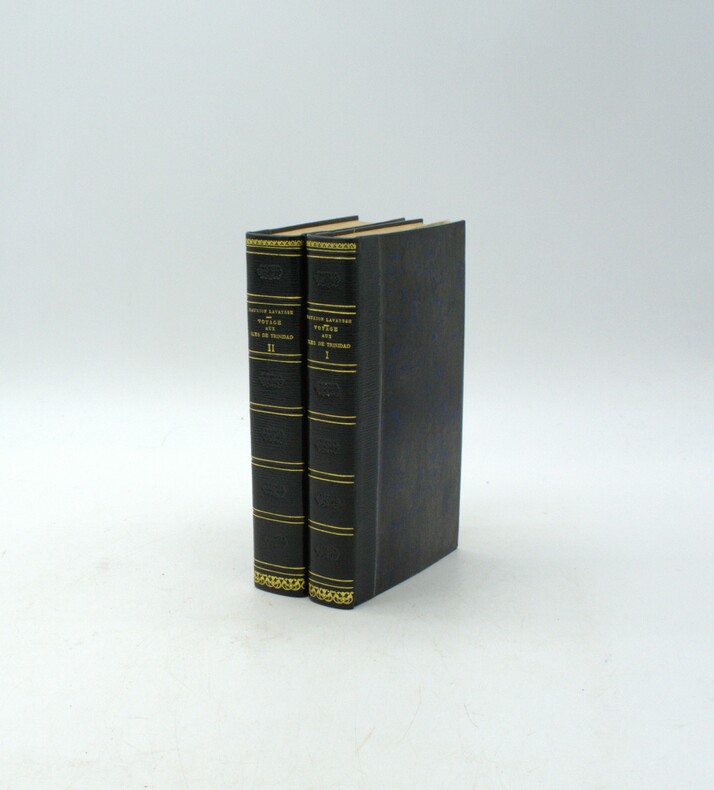
1813PHO-1916Paris, F. Schoëll, Libraire, 1813. In-8 (20,5 x 13,5 cm), XXVI-411 pp.,3ff-480pp-4ff (table et errata), illustré de 3 cartes dépliantes et 6 tableaux dépliants, demi-maroquin moderne à long grain bleu nuit, dos lisse, auteur, titre et tomaison dorés, filet et roulette dorés, fers à froid rousseurs.
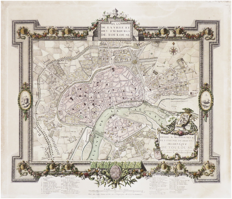
1858LBW-6122Paris, F. Savy, 1858. En 18 sections montées sur toile et pliées, formant un plan de 0,96 x 1,33 m ; sous étui en percaline noire de l'époque avec titre en lettres dorées au dos.
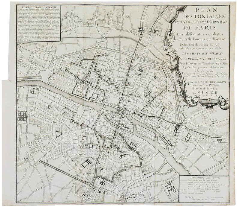
1735LBW-3700Paris, 1735. 547 x 584 mm.
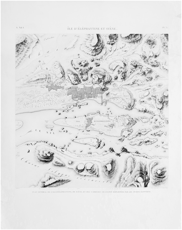
1809LBW-8217[Paris, Imprimerie Impériale, 1809]. 680 x 687 mm.
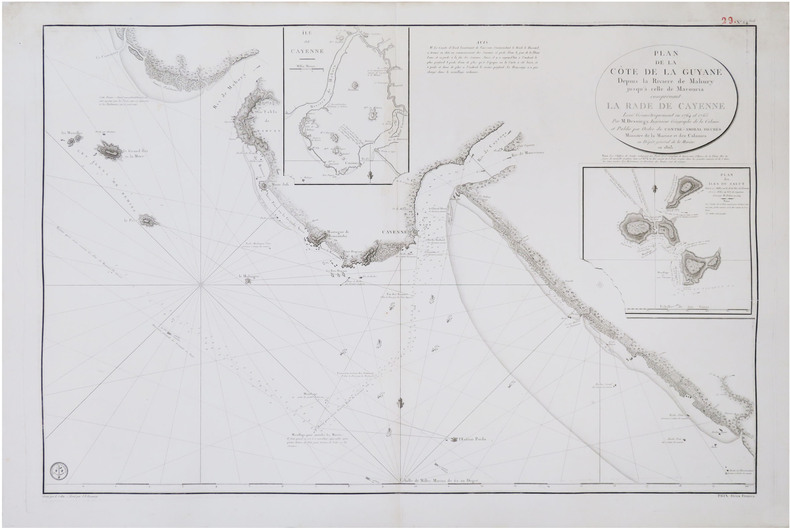
1803LBW-8856[Paris], Dépôt Général de la Marine, 1803. 598 x 895 mm.
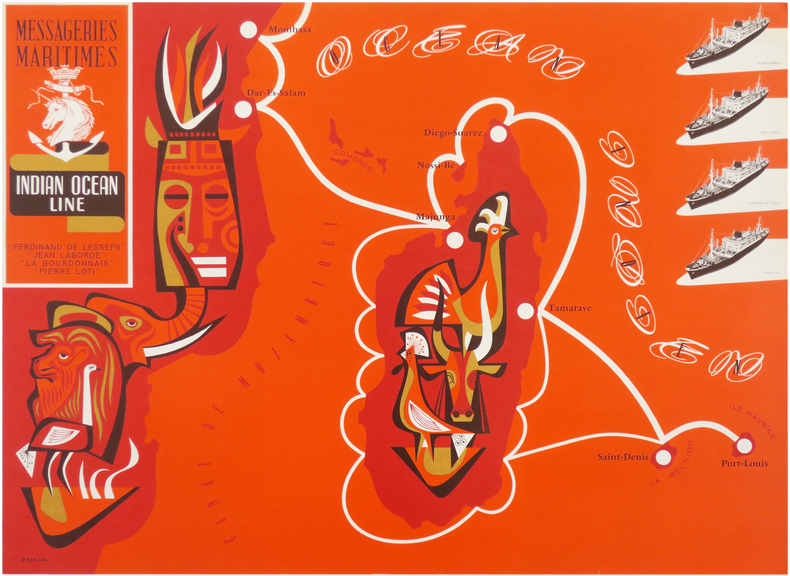
1953LBW-8631Paris, Messageries Maritimes, [1953]. 559 x 759 mm (marges comprises).
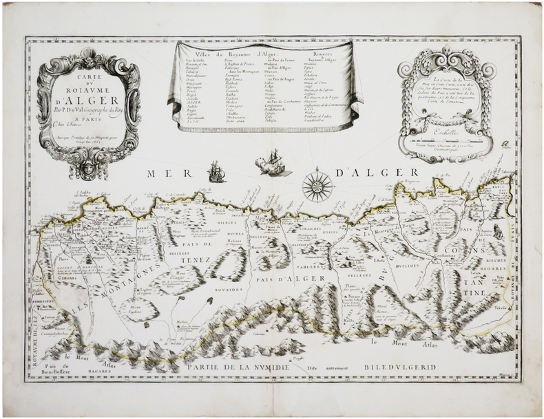
1667LBW-7829Paris, chez l'auteur, 1665 [1667. 365 x 526 mm + 1 feuillet de texte de 357 x 464 mm.
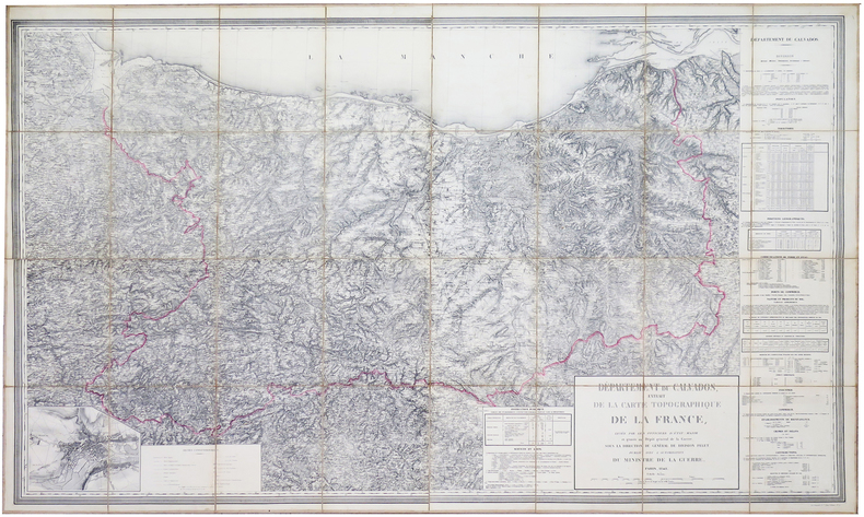
1848LBW-6015Paris, Heuguet, 1848. En 32 sections montées sur toile et pliées, formant une carte de 1,22 x 1,98 m, sous chemise de papier marbré ; étiquette de l'éditeur au dos.
Panorama della città da Monte Mario. Disegnato da Friedrich Berhard Werner, incisa da Johann Georg Ringlin e pubblicata da Martin Engelbrecht (1684 - 1756). "Al centro in basso scudo con scritta obliqua SPQR. In alto al centro sopra il titolo N. 40. In basso 82 numeri di legenda. Sono ben visibili non solo il porto di Ripetta ma anche la scalinata di Trinità dei Monti (1723-26) da cui la datazione al 1730 ca. Questa veduta fa parte di una serie di profili della città che hanno come probabile prototipo quella più grande incisa da Werner verso il 1730 (in basso a sinistra sta scritto Fridr. Bernh. Werner del.): si vedano tra l'altro l'identica deformazione verticale di tutti i monumenti (ed in particolare di Castel Sant'Angelo) ed il modo di raffigurare i campi coltivati in primo piano" (cfr. Marigliani, p. 266). Incisione in rame, buone condizioni. Rara. Panorama of the city from Monte Mario. Drawn by Friedrich Berhard Werner, engraved by Johann Georg Ringlin and published by Martin Engelbrecht (1684 - 1756). At center below, shield with oblique inscription SPQR. Bottom 82 numbers of legend. Not only the port of Ripetta but also the Spanish Steps are clearly visible (1723-26), hence the dating to about 1730. This view is part of a series of profiles of the city that have as their probable prototype the larger one engraved by Werner around 1730 (at lower left is written Fridr. Bernh. Werner del.): see among other things the identical vertical deformation of all the monuments (and in particular of Castel Sant'Angelo) and the way of depicting the cultivated fields in the foreground. (see Marigliani, p. 266). Copper engraving, good condition. Rare. C. Marigliani, "Le Piante di Roma delle collezioni private", tav. 182.