WORDSWORTH, William; James Engell and Michael D Raymond (intro, maps, notes, glosses, chronology)Biblio.com
11 983 résultats
201689152Oxford: Oxford University Press 2016. First Edition. First Impression. Oblong Octavo 25cm x 31cm; green cloth-covered boards with titling stamped in gilt on spine and front cover; pictorial endpapers; dustjacket; 281pp; colorful illustrations. From the library of noted poet translator and anthropologist Nathaniel Tarn 1928-2024 with his pictorial bookplate to verso of front endpaper. A Near Fine copy. Dustwrapper lightly spine-faded with trivial surface wear and price sticker to lower rear panel; Very Good. Biography of Wordsworth with marginal glosses notes chronology and bibliography. 89152. Oxford University Press unknown
464 pages including notes, index, black and white photographic plates and illustrations. "In spite of recent well-publicized seizures of massive shipments of heroin from Southeast Asia, heroin continues to flood the country, spreading into every level of this society and shredding the fabric of everyday life. U.S. government estimates of the number of addicts has leaped from 315,000 in 1969 to over 560,000 in 1972. This book puts all the pieces of this ghastly puzzle together, and then maps the possible avenues out of the horror, suggesting that America may have to choose between our commitments in Southeast Asia and getting heroin out of our high schools." - from dust jacket. Moderate wear. Book clean and unmarked. Small closed tear to dust jacket. Nice copy. Book
302 p. Including about 80 pages of contemporary drawings, photos, maps, etc. - many in color. Folio. 315 mm. Original full cloth binding. Dust Jacket. Original light slip case. A lovely example of this classic illustrated survey of polar exploration. Fine First Edition. Hardbound. Very Good+ POLAR 1
208 pages including index. From the first firing of guns at Fort Sumter to the ultimate surrender of the South, richly illustrated with many contemporary engravings and rare photographs as well as many colour illustrations and maps. A must for every Civil War Buff. Clean and unmarked. Very light wear. Gorgeous copy of this handsome work. Book
4to, 374 pages, illustrated. (Oxford Illustrated Encyclopedia ; Vol. 1). eng
13p. Pagination includes wraps. Illustrated with photographs, drawings and maps. Tall thin 8vo. Original pictorial wraps. Lists Interchanges, tunnels and service stations. PA PAMPH 20_1 BX7 x 3c.
197274807Penguin Books, (Middlesex) 1972. 2x96 S., 18cm Karton 0
2080202103703542Penguin Books N.A. Soft Cover. Fine. Page size: 2 v. Size: 18 cm New book size Penguin Books paperback
19041336482New York: Frederick A. Stokes Company 1904. First American Edition. Hardcover. Octavo xiii 359 pages; VG-; bound in publisher's decorated green cloth gilt and black titling to spine; mild wear and rubbing primarily to head of spine and corners; bookplate to ffep; with 54 maps and plates; scarce; LJ consignment; shelved case 8 1/2. Also published in London the same year.;. 1336482. Shelved Dupont Bookstore. Frederick A. Stokes Company hardcover books
No marks or inscriptions. No creasing to covers or to spine. A very clean very tight copy with bright unmarked boards and no bumping to corners. 160pp. Derbyshire's Peak District described and depicted in beautiful colour photographs. In the Country Series.
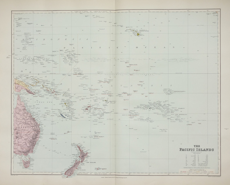
1896LBW-2658London, Edward Stanford, [1896]. 480 x 603 mm.
Book in unread as new condition. 239pp. Over 300 fiendish puzzles to crack, with the challenges provided from Ordnance Survey's maps.
Corners bumped. Foxing to prelims. Dustjacket is protected in mylar. ; 4to 11" - 13" tall; 797 pages
Fine English Paperback. Pbo. Roy. 8vo. (24 x 17 cm). In English. 20 p., 1 map. The oldest map of Japan drawn by a Turk Mahmud of Kashgar. The map of America by Pirî Reis.
Fine English Paperback. Pbo. Roy. 8vo. (24 x 17 cm). In English. 20 p., 1 map. The oldest map of Japan drawn by a Turk Mahmud of Kashgar. The map of America by Pirî Reis.
XIV, 154 pages. Index. Six nice maps plus one more on back cover. Printed upon glossy stock. Many nice black and white photos. "The main idea has been to dispel, by means of facts and photographs, the notion held by many people that the county is 'bleak and stony'." - from Preface. Above-average external wear and soiling. Unmarked. A worthy vintage copy. Book
No marks or inscriptions. No creasing to covers or to spine. A very clean very tight copy with bright unmarked boards and very tiny bump to upper rear corner. 192pp. Revised edition of the standard Observer book on London.
No marks or inscriptions. No creasing to covers or to spine. A very clean very tight copy with unmarked lightly tanned boards, and no bumping to corners. 184pp. A guide to the two counties in England's West Country.
185 pages. Most people are attracted by the brooding majesty or picturesque ruins of castles. This work provides a wealth of detailed information about them, often illustrated by fascinating historical anecdotes. With 46 line drawings, 12 black and white illustrations and 3 maps. Dust jacket bright with light wear and price clipped. Book
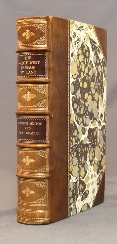
186515586London, Cassell, Petter, and Galpin, [1865]. In-8 de XXIV-400-13 pages, demi-veau brun, dos à 5 nerfs orné d'encadrements, fleurons, date roulettes et titre dorés, roulettes dorées sur les plats, pièces de titre marron.
Ex-library book with usual marks and stamps. A clean tight copy with no bumping to corners. Dust jacket not price clipped or torn or creased with slightly faded spine. 96pp. How our growing leisure time is changing the landscape of the region. Focus on England's North West
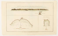
1784174896London.: Alexander Hogg at the King's Arms. circa1784. Engraved map in triptych on laid paper 20.1 x 32.7 cm three insets: cross section of the north side of Queen Charlotte's Islands Solomon Islands with detail of a volcano "6 leagues North"; Swallow's Bay Harbour; and Byron's Harbour early hand colour trimmed to the plate mark at the top edge neat sealed tear affecting the publisher's caption slight edge wear and paper toning but a most attractive map in very good condition. Attractive engraving of the Queen Charlotte's Islands Solomon Islands. The Islands were named for the consort of King George III by Philip Carteret the British naval officer and explorer who participated in two of the Royal Navy's circumnavigation expeditions in 1764–66 and 1766–69. His ship the Swallow gave her name to the Bay and Carteret's commanding officer on the first of his voyages John Byron to the Harbour depicted in this most attractive early chart. . Alexander Hogg at the King's Arms. unknown
pp. xii, 619 + Maps and photographs. Paper beginning to brown but not brittle. 8vo. Original full cloth binding. Original dust jacket, very slightly worn. Hardbound. Reprint of the 1937 Viking Press edition. HOLY LAND BOX 1
No marks or inscriptions. A very clean very tight copy with bright unmarked boards and minor bumping to some corners. Dust jacket not price clipped or marked or torn with minor creasing to edges and slight indenting to rear. 192pp. The culture, the people, the places, the history of New Zealand, described by the author and very well illustrated by photographs from Smith and Jacobs.
192052936Syracuse NY: Empire New England Company Inc. ca. 1920. Double Elephant folio. 51 x 59 in. Large colour-printed map dissected and mounted on linen backing brass grommets at upper fore-edge for hanging title stamped on verso minor edgewear at creases very minor lifting at seams minor dustsoiling to outer linen when folded still a VG exemplar. First edition thus of this scarce education map of post-World War I South American geography. The map details the principal railways water routes major cities steamship routes and geographical and political details. The Empire New England Company was active in upstate New York from about 1915 until the end of the 1920s selling educational supplies maps textbooks and more. The New World School Maps could be purchased individually or in cases which held between 6-10 individual maps for school uses according to company literature of the period. Worldcat locates 1 copy Buffalo & Erie County Public Library smaller size - 1931 ed. Empire New England Company, Inc., unknown