HUMBOLDT, Alexandre et BONPLAND, AiméLivre Rare Book
5 782 résultats
1807PHO-1864Paris, Tübingue, F. Schoell, J.G. Cotta, 1807, folio, reliure d’attente, 3ff.- 155pp., dos manquant, 1er plat détaché, coins usés, sans la planche annoncée, petites rousseurs.
Carta stampata in litografia, con confini colorati d'epoca, formato cm. 44x54 dove si mostrano, con piccoli disegni, i prodotti coltivati nelle varie zone del territorio. Il risultano è molto decorativo ed interessante, soprattutto per conoscere le coltivazioni scomparse, come ad esempio quella del riso. Due lievi aloni, uno che interessa solo il margine bianco, e rinforzo alla piegatura centrale. Per il resto, fresca a nitida copia di questa rara carta.
incisione originale in rame (cm.36,5x45,5 e ampi margini) colorazione coeva. Bella carta che rappresenta il territorio compreso tra la Svizzera e la Savoia. Con lo Stato di Milano, i laghi lombardi, le Valli. Si estende, a Sud, fino al Novarese e a Crema. Tratta dall' ''Atlas Minor'' di J. Hondius e stampato ad Amsterdam dal Jannson nel 1561. Hondius stampo' a partire dal 1606 diverse edizioni di questo atlante rifacendosi al precedente lavoro del Mercator.. .
19886977CBSüssen, Deuschle, 1988. 1 Atlas (30 Bl.) mehrfarbige Karten Kommentarband (102 S.). Orig.-Leinenkassette und Leinenband. + Wichtig: Für unsere Kunden in der EU erfolgt der Versand alle 14 Tage verzollt ab Deutschland / Postbank-Konto in Deutschland vorhanden +, A|B (Faksimileausgabe).
Anversa, 1580 circa. Dal "Theatrum Orbis Terrarum" incisione in rame all'acquaforte, coloritura d'epoca, cm 35,5 x 49 (alla lastra) più margini, semplice cartiglio in riquadro, in basso al centro, stemma araldico della Frisia occidentale in alto a sinistra, una elaborata rosa dei venti nella parte superiore al centro del foglio, velieri nel mare germanico a sud. Prima edizione con testo latino al verso (al verso il numero della pagina è il 19). Incisa da Jacob van Deventer verso il 1550, la carta include le province olandesi di Friesland, Groningen e Drente e quella tedesca di Friesland. L’Olanda è descritta in maniera molto dettagliata e comprende anche le più piccole cittadine, le città fortificate, i fiumi e i laghi (molti dei quali bonificati nel corso del diciassettesimo secolo e quindi scomparsi). Il "Theatrum Orbis Terrarum" fu il primo atlante moderno, comprendente carte di tutte le zone del mondo: in esso si riunì, in un unico corpus, l'eterogenea produzione cartografica del periodo, e con esso vennero poste le premesse per una impresa editoriale di enorme successo, durata dal 1570 al 1612. L' intuizione di Ortelio fu infatti quella di notare che prima di allora la produzione cartografica era irregolare e solo a livello locale, i pochi atlanti prodotti, i cosiddetti "Atlanti Lafreriani", erano costituiti su richiesta e in tal modo raccoglievano carte di alcune zone ma ne ignoravano altre. Bell'esemplare in splendida coloritura coeva, in ampi margini e in ottimo stato di conservazione.
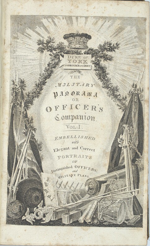
1812PHO-2419London, Patrick Martin and co, C.J. Barrington, 1812-1814, Half green leather with corners, smooth spine with title and volume numbering direct. Rubbing, worn corners and edges, occasional foxing. Illustré de 3 titres gravés, 24 cartes et plans sur 25 et 7 portraits sur 26, mention de seconde édition au tome 1.
1875115929The Lakeside Press, Chicago, 1875. 45,5 x 37,5 cm ; Halbleder
Very Good Turkish, Ottoman (1500-1928) Original bdg. Large roy. 8vo. (24 x 20 cm). In Ottoman script. (Old Turkish with Arabic letters). 16 p., 15 chromo-lithographed maps. Some markings on the two maps. Otherwise a very good copy. First edition of this scarce atlas for Turkish primary schools drawn and published by Turkish geographical educators and cartographers in the early Republican period of Turkey. This fine atlas was printed in London, in a period after the proclamation of the Republic, before the Letter Revolution in 1928. Duran studied in Istanbul and Paris. He worked as a geography teacher in various high schools then he became a lecturer and a manager at Ankara Gazi Education Institute for a while. He was known for his writings on various topics and especially for his works on geography. Born in the imperial period, Duran signed the first cartographic studies of the Republic of Turkey with the transition to the Republican administration. Özege 8764.
1875Pa620London: William Blackwood 1875. New Edition . Hardback. Fine. Elephant Folio - over 15" - 23" tall. 20 x 135 inches. 48 double page folding colour maps and the North Polar Chart as a frontis. Fine original red half calf binding with gilt titles. Specail; index after each map. The fourth edition with each map updated to reflect the ever changing speed of the changes taking place in the industrail age. Dedication page to Queen Victoria. Each map as an adjacent index bound in and a prospectus for the companion book to the atlas is bound in at the front Atlas Geographicus' pub. separately. A complete and fine copy <br/> <br/> William Blackwood hardcover
1880NY068London: Mappin 1880. Original . No Binding. Fine. Metal dial and clasp with a small built in compass and a fine dial arm that is hinged to work out measurements. The compass dial pointer is loose but present within the bubble. A strong clasp ring 50mm surrounds the dial from the rear and the face is finely engraved with roman numerals of the hours of the day.The rear is finely stamped 1644 in minute type. The metal is not hall marked. A VERY ATTRACTIVE AND RARE ITEM c1880 <br/> <br/> Mappin unknown
1740TH228London: Printed for Thomas Wright Mathematical Instrument-Maker. And E. Cushee Globe-Make 1740. fifth Edition . Hardback. Vg. 8vo. THE DESCRIPTION AND USE OF THE GLOBES AND THE ORRERY To which is prefixed by way of introduction a brief Account of the Solar System.viii 190pp. 6 folding plates. Pub. advert to the reverse of the title-page. Index of the astronomical terms. Original full calf polished calf binding with gilt dbl. ruled border to the boards. Five raised band and neat owners to the top edge of the title-page. A tight clean and fresh copy with a plain but period binding Near fine Nicholson Calvert 1816 an English Whig politicain who fought at the Battle of Waterloo. <br/> <br/> Printed for Thomas Wright, Mathematical Instrument-Maker. And E. Cushee, Globe-Make hardcover
1745TH352London: Printed for Thomas Wright Mathematical Instrument-Maker. And E. Cushee Globe-Make 1745. sixth edition . Hardback. Vg. 8vo. To which is prefixed by way of introduction a brief Account of the Solar System.viii 190pp. 6 folding plates. Pub. advert to the reverse of the title-page. Index of the astronomical terms. Original full calf calf binding. Five raised bands. A tight clean and fresh copy with a plain but period bindng/ Original binding intact but worn to the extremities and joints cracked but the boards attached. A tight and clean text with beautiful crisp plates. <br/> <br/> Printed for Thomas Wright, Mathematical Instrument-Maker. And E. Cushee, Globe-Make hardcover
1616Map 752London: Thomas Bassett and Richard Chiswell 1616. No Binding. Fine. Folio. 1611-1676 An original map of the county of Suffolk. Nice old hand-colouring a dark impression. 41.5 x 54cms. 16.25 x 21.5 inches. Wide margins outside the plate. ENGLISH TEXT to reverse. The imprint is by Thomas Bassett and Richard Chiswell in St Pauls Yard. London Floral initial letter to reverse in the style of Hall and Beale. PLEASE EMAIL FOR PHOTOS. Basset and Chiswell joined forces and purchase the original Speede plates and re-issued the maps in a fine edition in 1676. Only this issue was produced and is dated 1676 <br/> <br/> Thomas Bassett and Richard Chiswell unknown
1804025579chez Charles Picquet, Paris 1804. Tadellos
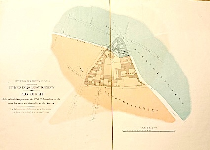
185915814Louis Antoine Paris 1859 1 vol. Feuille entoilée de 216 x 102 cm; repliée au format in-8 sous étui papier avec pièce de titre en veau cerise.
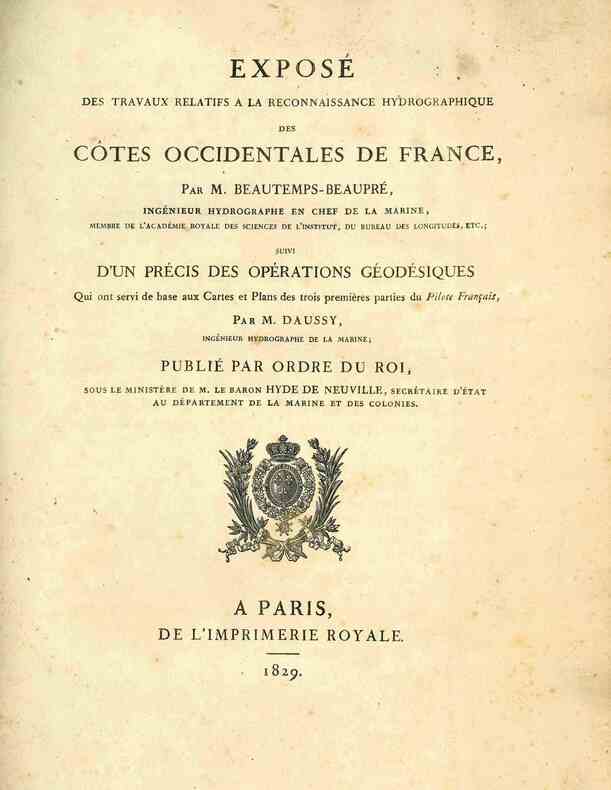
18294945A Paris, de l'Imprimerie Royale, 1829. 1829 1 vol. in-4° (291 x 225 mm) de: [2] ff. (titre, table); 124 pp.; 1 grande carte dépliante: «Trigonométrique des côtes occidentales de France par M. Daussy». (Quelques rousseurs, plis et petites déchirures à la carte). Demi-toile verte d'époque, dos lisse titré en lettres dorées, plats recouverts de papier marbré vert.
Carta telata suddivisa in 24 riquadri con rifiniture cromatiche coeve -supporto in tela bianca- misure 117x 110 cm ca. buono stato di conservazione
Incisione in rame (cm.36x45,7 e margini) abilmente colorata da mano coeva, testo francese al verso. Tratta da: GERARDI MERCATORIS / ATLANTIS NOVI / Pars Tertia, / ITALIAM, GRAECIAM / and maximas insulas Maris Mediterranei, / nec non / ASIAM, AFRICAM atque / AMERICAM continens, // EDITIO VLTIMA // Sumptibus and typis aeneis Henrici Hondij, Amsterodami 1638. Bella carta geografica con le isole di Ischia, Elba e Procida.. .
Da Tom.so Young prof. Di Matte.ca e Ten:te On:io nella Marina della Med.ma A.S.R. Roma, in Pescheria Vecchia, Gio: Iacopucci, 1769. Incisione in rame, b/n, cm 53 x 75 cm. ca. (il foglio), titolo ripetuto in inglese, sotto quello in italiano, nel grande cartiglio in alto a sn.; in un altro cartiglio, in alto a ds., c’è la Scala delle Miglia italiane, inglesi e francesi. Grande carta nautica di Livorno, realizzata dal matematico e tenente di marina Tommaso Young; la carta è dedicata a Pietro Leopoldo, Arciduca d’Austria. Livorno, rappresentata in pianta, è collegata con Pisa attraverso il canale dei Navicelli, e al Lazzereto di S. Jacopo, oggi Accademia Navale, attraverso il canale dei Lazzaretti. La rada antistante riporta i principali valori di scandaglio. P. Frati, che considera l’opera molto rara, ne descrive un esemplare pubblicato da Francesco Natali in via Genovese. Un po’ di gualciture della carta e una lieve accentuazione della brachetta centrale, peraltro buona impressione. Molto rara. (Bibliografia, Piero Frati, “Livorno nelle antiche stampe”, p. 90)..
Second edition, corrected and enlarged, [8], 242, [8], 40pp., additional engraved title in Latin with allegorical border, laid-down with two closed tears to fore-edge, title lightly stained with a couple of marginal chips, some general age-toning, engravings and woodcuts in the text including one full page, orig. calf, rebacked, joints rubbed, head of spine chipped. Joseph Moxon (1627?1691) established himself as a printer and globe and instrument maker in London. After visiting Amsterdam to study printing, Moxon brought back W. J. Blaeu's handbook of globes, then just published, and translated it into English as "A tutor to astronomy and geography" in 1659. The work was superseded when Moxon published a totally new handbook in 1659, "A tutor to astronomie and geographie". This work was specially designed for an English market rather than Dutch, and became Moxon's most popular work relating to globes. This second edition is corrected and greatly enlarged. A variant second edition which is not listed in Wing, it varies from Wing M3023 in having a separate pagination for the 40-page "Antiquity, Progress, and Augmentation of Astronomie."; ESTC finds 3 copies located at Cambridge, Wellcome and Staatsbibliothek zu Berlin.
Coperta cartonata ed illustrata a colori. Ottimo stato, tagli regolari e pagine ben salde alla costa, libro completamente fruibile, n. 9028 della collana "Universale Economica Feltrinelli / Saggi", traduzione dall'inglese di Virginio B. Sala, presenti 38 figure in nero nel testo e 56 illustrazioni a colori fuori testo, prima edizione, numero pagine 526 USATO
Very Good Turkish, Ottoman (1500-1928) Original color map. Folded. Oblong folio. (35 x 52 cm). In Ottoman script. Color lithograph. A very detailed and attractive Ottoman map of America. Scale: 1:12.000.000. Otherwise a very good copy. Slightly chipped extremities. Dated Hegira: 1311 = [Gregorian 1895]. Ali Seref Pasa or Hafiz Ali Esref. He was a soldier, who was schooled in Paris as a cartographer around 1862. Already in Paris he published his first atlas with 22 maps, called 'Yeni atlas'. Upon his return to Istanbul he became a chief cartographer at the Maatbaa-i amire Printing Press in Beyazit, which was the successor of the Muteferrika press from 1727. Among others he translated the large Kiepert map of Anatolia to Ottoman. He died in 1907, leaving his large project of a gigantic map of Anatolia in 100 sheets unfinished. Ali's name is often misunderstood or even listed as two different people: Ali Seref Pasa and Hafiz Ali Esref. Until the surname law adopted on June 21, 1934, Turks did not have surnames. They were born with one first name and were until the adulthood described only as sons or daughters of their parent's names. Later they were given titles such as Effendi (Sir), Bey (Chief) or Hanim (Madam) for higher classes, or they were given names according to their work or class. The names were not inherited by children until 1934, when the surname law was enforced. The map maker Ali received names Seref, the honourable, and Pasa, the dignitary. He was also known as Hafiz, the memorizer of Qur'an and Esref, Proud. So Ali Seref Pasa would have a meaning 'Honourable Dignitary Ali, and Hafiz Ali Esref, Memorizer of Qur'an, Proud Ali. Daruttibaa - Matbaa-I Amire Printing Press: The first press in the Muslim world, called Daruttibaa, was founded in Istanbul by Ibrahim Muteferrika in 1727, with a permission of Sultan Ahmeet III. It was located in Muteferrika's house. The first book was published in 1729 and until 1742 sixteen other works followed. After Muteferrika's death, the press was supressed for printing, as printed books were considered dangerous. In 1796 the press was purchased by the government and moved to Uskudar in Istanbul, and in 1831 finally to Beyazit, where it was renamed to Matbaa-i Amire in 1866. The press was closed in 1901 and was reopened in 1908 under the name 'Âmire' In 1927 the name changed to State Printing House. The press still exists and is known for publishing school and educational books. Extremely rare. Not in OCLC.; Not in TBMM Map Collection.
18917594CBZürich, Hofer & Burger, 1891. Quer.-folio. (7) Bl. Mit Frontisp., Übersichtskarte und 56 Karten (chromolithogr. Reproduktionen). Illustr. Orig.-Halbleinenband. + Wichtig: Für unsere Kunden in der EU erfolgt der Versand alle 14 Tage verzollt ab Deutschland / Postbank-Konto in Deutschland vorhanden +, 7594CB
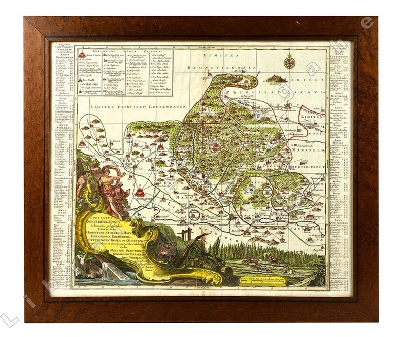
20921Cartouche du titre en bas à gauche avec figures allégoriques, scènes de forge et de chasse à courre. Légende en haut à gauche.
1822176291822 Paris, Béthune & Plon for Leblanc, (1822). atlas vol. in folio. Sans page de titre ni reliure,broche,mouillures en marge,carte abimée,25 lithographies en noir,dans l’etat