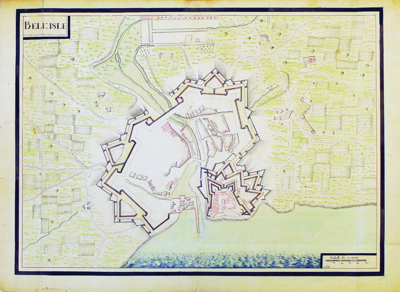
BELLE-ÎLE-en-MER. MANUSCRIT.Livre Rare Book
11 973 résultats
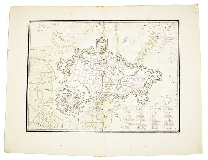
1700LBW-4187[circa 1700]. 480 x 660 mm.
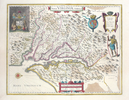
1643LBW03574Amsterdam 1643-1650 376 x 481 mm.
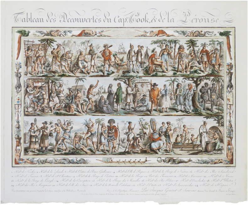
1799LBW-8988Paris, chez l'auteur, et à Bordeaux, chez la C.ne S. Sauveur, An 7 [1799]. 417 x 497 mm.
Rarissima ristampa della lastra anonima - attribuita ad Antonio Lafreri e databile al 1555/60. Esemplare nel terzo stato di quattro descritto e illustrato in Bifolco-Ronca, pagina 2377.In alto a sinistra l’iscrizione Urbis Rome totius olim orbis domitricis, situs: cum adhuc extantibus, sacrosancte vetustatis monumentis PIRRHO LIGORIO NEAP. INVENTOR. Orientazione nei quattro lati al centro con il nome dei punti cardinali SEPTENTRIO, MERIDIES, ORIENS, OCCIDENS, il nord a sinistra.Anonima pianta prospettica della città, basata sulla pianta di Pirro Ligorio, edita da Michele Tramezzini nel 1552. La pianta è inserita in alcuni esemplari dello Speculum Romanae Magnificentiae di Antonio Lafreri, al quale pertanto viene attribuita. Il grande interesse storico di questa pianta non è dato dall’opera stessa, una semplice copia del lavoro del Ligorio, ma è rappresentato dalle tirature successive di questa lastra. Il secondo stato, databile alla seconda metà del XVII secolo, è completamente emendato ed arricchito da toponomastica in lingua francese. Viene inserita anche una lunga descrizione della città, sempre in lingua francese. E’ noto che, alla morte di Antonio Lafreri (1577), i due terzi delle lastre furono divisi tra i nipoti Stefano e Claudio Duchetti. Il restante terzo venne suddiviso tra più editori. Questa lastra quindi potrebbe avere preso la via di Parigi, dove venne ristampata circa un secolo dopo. In alternativa la carta potrebbe essere stampata Roma ed emendata in lingua francese. Tale edizione viene descritta da Hülsen (1915), che la annovera tra le “Copie e ristampe”, come "Incisa nel sec. XVII ex.ovvero XVIII. Ne vidi una copia presso il sig. Lang nel 1914" (la libreria antiquaria Lang di Roma). Un altro esemplare, che tuttavia potrebbe essere lo stesso citato da Hülsen, è descritto nella biblioteca della British School of Rome, appartenuto alla celebre collezione di Thomas Ashby (1874-1931), direttore dell’accademia dal 1906 al 1925. Sempre Hülsen cataloga lo stato finale dell’opera, con l’indirizzo dell’editore francese Francois Jollain. Acquaforte e bulino, stampata su carta vergata coeva, in ottimo stato di conservazione. Bibliografia Bifolco-Ronca, Cartografia e topografia italiana del XVI secolo (2018): pp. 2376-77, tav. 1123, III/IV; Frutaz (1962): n. XVI e tav. 25; Hülsen (1915): II, p. 42, n. 11 e p. 43, nn. 13-14; Karrow (1993): n. 51/1.1; Marigliani (2007): n. 36; Marigliani (2016): n. XI.5. A very rare map of the city, published in Paris in the mid-seventeenth century using the plate made in Rome by Antonio Lafreri.Example of the third state of four.The map is based on that of Pirro Ligorio, 1552, edited by Michele Tramezini in Rome, and its subsequent and numerous variants.The only example known today of this map is in the library of the British School of Rome, belonged to the famous collection of Thomas Ashby (1874-1931), director of the British School at Rome from 1906 to 1925.For the stile of type this work can be attributed to the French publisher Francois Jollain. The plate appears to be yet more ancient, even '500, to which were added numerous inscriptions in French, starting from the extensive description in the bottom right corner.Copper engraving, perfect condition. An extremely rare work.LiteratureBifolco-Ronca, Cartografia e topografia italiana del XVI secolo (2018): pp. 2376-77, tav. 1123, III/IV;Frutaz (1962): n. XVI e tav. 25; Hülsen (1915): II, p. 42, n. 11 e p. 43, nn. 13-14; Karrow (1993): n. 51/1.1; Marigliani (2007): n. 36; Marigliani (2016): n. XI.5. Frutaz (1962): n. XVI e tav. 25; Hülsen (1915): II, p. 42, n. 11 e p. 43, nn. 13-14; Karrow (1993): n. 51/1.1; Marigliani (2007): n. 36; Marigliani (2016): n. XI.5. DI ROMA DAL 1551 AL 1748, (1915) 43e.
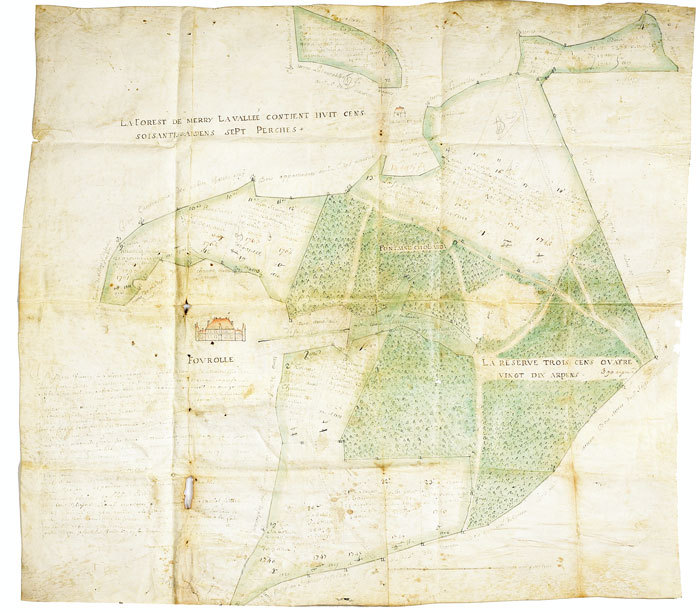
1724LBW-5391724. 633 x 702 mm, sur peau de vélin.
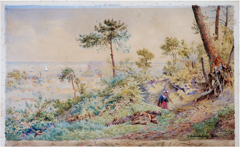
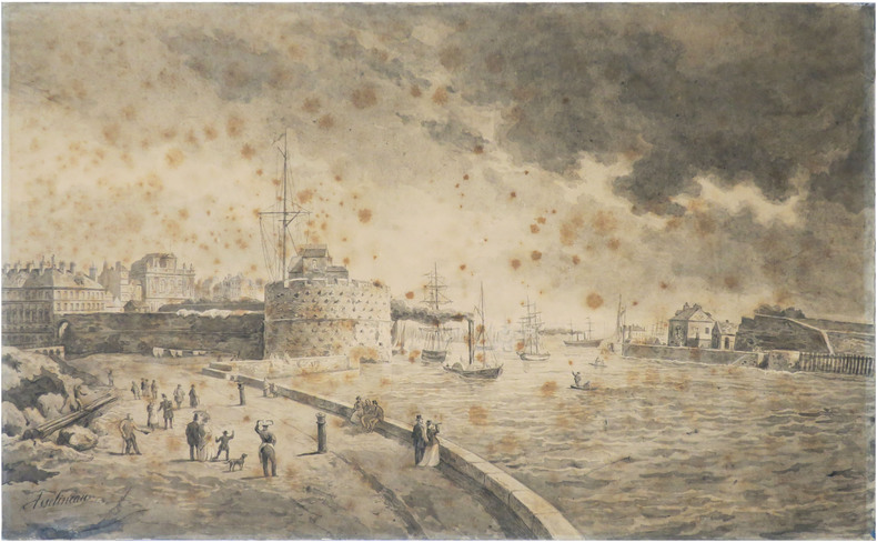
1880LBW-8695[vers 1870-1880]. Aquarelle sur papier de 310 x 517 mm, sur une feuille (324 x 528 mm) montée sur carton ; titre manuscrit sur le passe-partout.
1730LBW-540[circa 1730]. 367 x 496 mm.
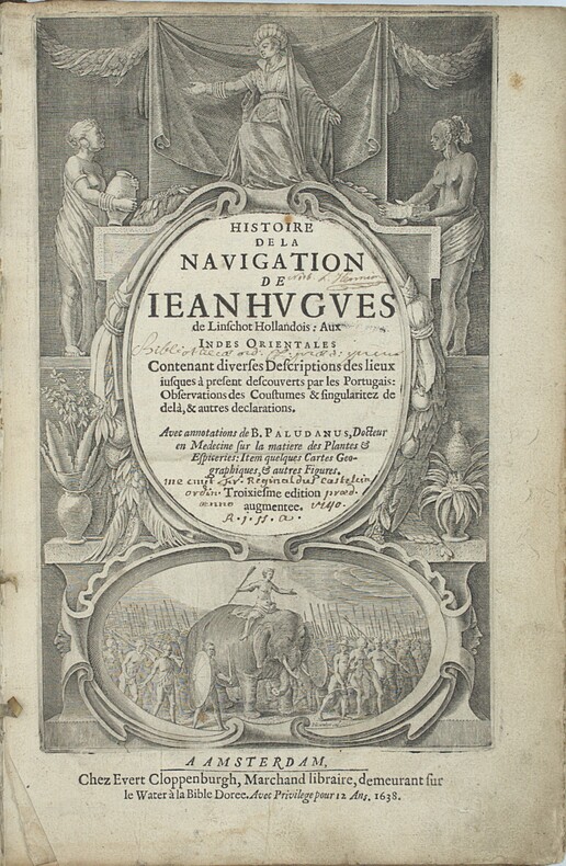
1638PHO-2460Amsterdam : J.E. Cloppenburch, 1638, in-folio, 315 x 220mm, 4pp. (titre, préface, indice des chapitres) 206pp., titre avec des figures allégoriques (Asie, Afrique Europe) et une scène d’un roi sur éléphant, illustré du portrait de l’auteur, 29 (sur 36 ) planches gravées dépliantes à double page et vues de Johann et Baptiste ven Doetecom d'aprés Linschoten , les cartes sont absentes. Titre empoussiéré, quelques taches et mouillures, le dernier feuillet détaché. Reliure en partie détachée du corps de l’ouvrage. Provenance - « Fr. Reginaldus Castelin (?) ordin. 1740 » (ex-libris manuscrit ancien). – L. Hennion (ex-libris manuscrit ancien sur une garde). Bibliographie Sabin, n°20128. Leclerc, n°363. Cordier Japonica, 222. Gay, 260
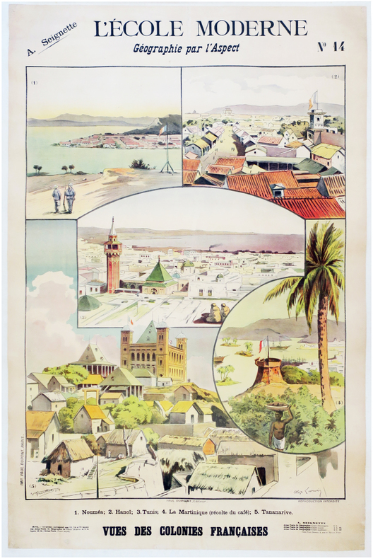
1900LBW-7873Paris, Paul Dupont, [1900]. 1,22 x 0,85 m ; montée sur toile.
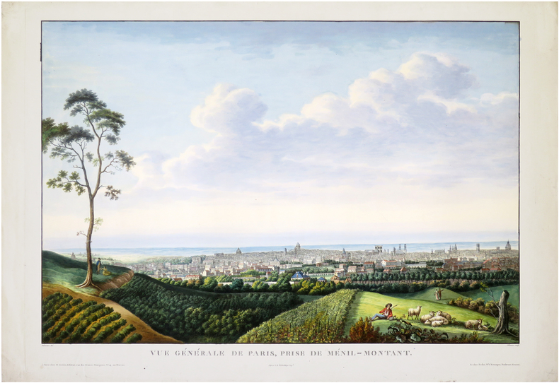
1812LBW-8248Paris, M. Guérin, et chez Reslut, 1812. 560 x 768 mm.
Suite raffigurante i 4 continenti, finemente incisi ad acquaforte e bulino, databili al 1590/95 ca. La carta dell’Asia è firmata in lastra, in basso a sinistra. Magnifiche prove, ricche di toni, impresse su carta vergata coeva con filigrana “ancora in un cerchio sormontato da fiore” con relativa contromarca (Briquet 571, Woodward 178), ampi margini, in perfetto stato di conservazioneLe mappe, secondo Philip Burden e Richard Betz, sono databili al 1605 e derivano chiaramente da quelle pubblicate nella Universale Fabrica del Mondo di Giovanni Lorenzo Anania, Venezia 1582. Si differenziano principalmente per dimensione e per scala di gradazione. Tuttavia ci permettiamo di discordare dalla datazione attribuita da Burden e Betz, ritenendo queste opere del Rosaccio databili al periodo 1590/95. Le mappe erano infatti accompagnate dalla carta del mondo che Rodney Shirley include tra quelle aggiunte nella nuova ristampa di The Mapping of the World, elencandone un solo esemplare conosciuto, che si trova nella Biblioteca Municipale di Grenoble. Shirley data la mappa all’ultimo decennio del XVI secolo. A conclusione dello studio su questo inusuale gruppo cartografico, possiamo evidenziare che questo set rappresenta una prima stesura del Rosaccio per la realizzazione delle carte successivamente inserite nella sua Geografia ed anche nelle Relationi Universali del Botero. Le opere, probabilmente realizzate in pochissimi esemplari, non furono mai inserite in nessuna pubblicazione, e si presentano su fogli intonsi, a pieni margini, stampate su carta con filigrana che il Briquet indica fabbricata a Verona intorno al 1583, ed il Woodward riscontra in altre mappe del periodo 1580 e 1594. Diverse sono anche le dimensioni delle lastre, ma questo probabilmente perché gli studiosi si sono trovati ad esaminare esemplari rifilati all’interno del rame.Giuseppe Rosaccio, medico e geografo, è noto per alcune opere geografiche e cosmografiche, che, sebbene di non gran mole, gli procurarono qualche fama e furono più volte ristampate. Tra esse il Teatro del Cielo e della Terra (Venezia 1595), il Mondo e le sue parti, cioè Europa, Affrica, Asia et America (Verona 1596), il Microcosmo (Firenze 1600), il Mondo elementare e celeste (Treviso 1604), il Discorso sulla nobiltà ed eccellenza della Terra (Firenze, s. a.). Egli curò anche un'edizione della Geografia di Tolomeo, stampata a Venezia nel 1599, corredandola con alcuni Discorsi e 42 tavole nuove. Set omogeneo, di straordinaria rarità. - EARLY ISSUE, UNRECORDED - Suite depicting the 4 continents, finely etched with etching and engraving, dating to 1590/95 approx. The map of Asia is signed in the plate, lower left. Magnificent proofs, rich tones, printed on contemporary laid paper with watermark "still in a circle surmounted by flower" with the countermark (Briquet 571, 178 Woodward), wide margins, in perfect conditionThe maps, according to Philip Burden and Richard Betz, can be dated back to 1605 and are clearly derived from that published in the Universale Fabrica del Mondo by Giovanni Lorenzo Anania, Venice 1582. They differ mainly in size and scale of gradation. However, we would disagree on the dating attributed by Burden and Betz, considering these works of Rosaccio dating from the period 1590/95. The maps were in fact accompanied by a map of the world that includes Rodney Shirley among those added to the new reissue of The Mapping of the World, listing only known specimen, which is located in the Municipal Library of Grenoble. Shirley dated the map at the last decade of the sixteenth century. At the conclusion of the study of this unusual maps, we can that describe this set is a first issue of Rosaccio’s maps later incorporated in his "Geographia" and also in the Relationi Universali by Botero. The works, probably made in a few examples, were never included in any publication, and are on uncut sheets, with full margins, printed on paper with a watermark that indicates Briquet manufactured in Verona around 1583, and Woodward found in other maps of the period 1580 to 1594. There are also different sizes of plates, but this is probably because scholars have found to examine specimens trimmed in copper.Homogeneous set of extraordinary rarity. Burden, The Mapping of North America, 149; Shirley, The Mapping of the World, 174A, Betz, The Mapping of Africa, 51; Briquet, Les Filigranes, 571. Dimensioni circa 210x260 ognuna
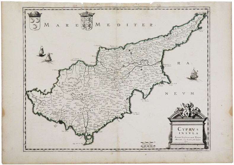
1670LBW-3262Paris, Pierre Mariette, [1670]. 375 x 485 mm.
Grande pianta della città, stampata su due fogli reali, copia di quella realizzata da Giovan Battista Falda nel 1667 per papa Alessandro VII. Pianta a proiezione mista, orientata con il nord a sinistra. Topograficamente la carta del Sandrart è fedele a quella del Falda; le modifiche sostanziali sono nei cartigli, con le scritte in tedesco, e nella dedica a papa Innocenzo XI. Il cartiglio di destra raffigura gli stemmi dei Rioni, mentre in basso al centro sono incise delle piccole vedute delle sette chiese giubilari. Incisa a quattro mani con Johannes Meyer, questa pianta risulta per l’eleganza del segno, più raffinata rispetto al Falda, intagliata dal francese Lhuiler. "Copia della pianta piccola del Falda incisa dal Meyer che si firma in basso a sinistra Iohann Meyer fecit Tiguri. IN alto a sinistra, in luogo della dedica fatta dal Falda ad Alessandro VII, compare quella ad Innocenzo XI (1676-89) con la data 1677 e più in basso il nome di Ioachini Sandrart. La pianta è probabilmente anche contenuta nell'opera del Sandrart Der Alten und neue, pubblicata a Norimberga nel 1768" (cfr. Marigliani p. 219). Acquaforte, con margini, in eccellente stato di conservazione. Rara. Large plan of the city, printed on two real sheets, copy of the one made by Giovan Battista Falda in 1667 for Pope Alexander VII. Mixed projection map, oriented with north on the left. Topographically, Sandrart's map is faithful to Falda's; the substantial changes are in the cartouches, with the German inscriptions, and in the dedication to Pope Innocezo XI. The right-hand cartouche depicts the coats of arms of the Rioni, while small views of the seven Jubilee churches are engraved in the bottom centre. Engraved by four hands with Johannes Meyer, this plan is more refined in the elegance of its sign than the Falda, carved by the Frenchman Lhuiler. "Copy of Falda's small plan engraved by Meyer, signed at lower left Iohann Meyer fecit Tiguri. In the upper left corner, instead of the dedication made by Falda to Alexander VII, the dedication to Innocent XI (1676-89) appears with the date 1677 and lower down the name of Ioachini Sandrart. The plan is probably also contained in Sandrart's work Der Alten und neue, published in Nuremberg in 1768' (cf. Marigliani p. 219). Sandrart carved this plan together with Johannes Meyer; the result is a far more refained work compared to that of Falda, carved by Lhuiler. Etching, with margins, in excellent condition. Rare. Huelsen (1915): n. 119; Scaccia Scarafoni (1939): n. 200; A. P. Frutaz, "Le piante di Roma", CLVI ; TIB p. 317, 281 C1. C. Marigliani, "Le Piante di Roma delle collezioni private", tav. 126.
1663PHO-2278A Paris, chez Jacques Langlois, 1663-1666 3 parties en 1 volumes in-folio (38x25cm). Veau tacheté époque, dos à nerfs ornés avec pièce de titre en maroquin et tomaison, tranches jaspées rouges. Réparations au dos et coins, mouillure, quelques rousseurs, réparation au titre, renforcement à la carte. Complet de ses relations de voyage selon Brunet & Camus
LBW0247dDresden, J. Braunsdorf, [circa 1850]. 420 x 535 mm.
184987523Washington D.C.: Government Printing Office 1849. Hardcover. Very Good. Octavo 9.2 in. x 6 in. pp. 678 1 index. Personal copy with gilt ownership plate to front board of DeWitt C. Lawrence Chief Clerk of the Patent Office. Illustrated with sixteen folding maps. Black half calf with decorative gilt chain rule over marbled boards. Rebacked spine. Gilt name on black ownership panel to front board. Black title on paper panel to spine. Marbled endpapers. Front free endpaper detached but present. Detailed pencil notes presumably from DeWitt Lawrence to preliminary pages index and rear endpapers and to occasional penciled comments on margins of main text providing reference and guidance. Fremont Preuss's maps #II-VIII in VG condition. Other maps in G condition with additional creases a few short closed tears at seams and light browning to several edges. <br /> <br /> ALL16 maps detached as they were removed for preservation and study. Maps I IX-XVI folded in archival pocket. The PREUSS Maps II-VIII "The Rockwell Maps" are laying flat preserved in archival sheath and will be mailed separately under cover. Includes additional copy of Rockwell's map of "Section III". The 16 folded maps include: #I. Map of the Country Between the Atlantic and Pacific Oceans. 1848. Rob Mills. Pencil notes on map. #II-VIII. Road from Missouri to Oregon in 7 Sections 1848. Charles Preuss. Includes two identical copies of Section #III map. All eight Preuss maps in VG condition #IX. Republica Mexicana Plano del Curso del Rio Coatzacoalcos. 1843 #X. Profils en Long et en Traviors du Canal. L'Isthme de Panama1841. Garella. #XI. Profile of That Section of the Country between Nicaragua and the South Sea 1838. Based on Thompson's Guatamala. #XII. Nicaragua Realejo Harbour Edward Belcher Harbour of San Juan de Nicaragua George Peacock 1832 #XIII. Chart of the Bay of Limon or Navy Bay 1829. J.A. Lloyd. #XIV. Republica Mexicana Pano de la Parte Austral del Istmo de Tehuantepec 1843. Jose de Garay. #XV. Panama Canal Longitudinal Section. J.A. Lloyd. Four inch closed tear with 1/2 inch chip to seam. #XVI. Carte Topographique de la Partie De L'Isthme de Panama comprise entre Panama Chagres. 1845. Garella. Uniquely annotated copy. <br /> <br /> The "first major government report devoted to interoceanic communication.Rockwell in addition to his prime focus on Central American canals compiled memorable documents on the suddenly urgent need for more directly binding California to the Union.Foremost.was the matchless seven-section map of the Oregon Trail made by Charles Preuss Fremont's gifted cartographer. Lieut. G.K. Warren in his 1859 memoir wrote that Preuss's 'skill in sketching topography in the field and in representing it on the map has probably never been surpassed in this country.' <br /> <br /> ".The Senate had issued this map separately in 1846; now the House was trying to make available to the Forty-0niners what was by far the best trail map of them all.this treasure was so deeply buried in this report that but few gold seekers found it and it is still so rare in both editions that Wheat lamented that it ' has been insufficiently appreciated by students of Western history.' ." Plains & Rockies 1800-1865: Supplemental volume to the series News of the Plains and Rockies; 2001 Arthur H. Clark Spokane. [Government Printing Office] hardcover
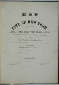
187226020New York 1872. Hardcover. Very good condition. Maps of Manhattan's west side prior to the completion of Central Park which was finished in 1876. The maps were compiled by longtime New York City Department of Public Works map clerk and city surveyor Otto Sackersdorff noted for his 'Maps of Farms Commonly called The Blue Book 1815". The Blue Book was not published until 1868 as a demonstration of northern economic might at the end of the Civil War. <br /> <br /> The real estate maps show property lines existing roads parks shorelines wetlands and the Manhattan grid extending from west of 8th Avenue at 59th Street and Columbus Circle up to 222nd Street and Spuyten Duyvil & Kingsbridge. Parks and major thoroughfares include: Central Park St. Nicholas Avenue Fort Washington Park Kingsbridge Road and High Bridge Park.<br /> <br /> Folio 15 x 20 1/2" 14 maps in total: 1 full page and 13 double page 28 x 20" hand colored lithographed map sheets. Each map contiguous with one another. Period quarter green gilt leather and dark green buckram boards. Spine gently rubbed; the maps exceptionally bright and clean. <br /> <br /> Previous owner inscription in pencil E. B. Van Winkle from Chas. H. Myers July 1875. Van Winkle was a civil engineer with an interest in road construction and drainage having written a report on the drainage of the 23rd & 24th wards of New York City. Myers was an Assistant Engineer in Charge of Sewers for New York City.<br /> <br /> OCLC: 41175506 at Princeton and OCLC: 40671892 at Columbia and the New York Public Library. hardcover
1835291674London: Willaim Darton and Son 1835. Half Leather. Very Good binding. Darton's Counties of England complete with 42 decorative engraved map 3 of which are folding with original hand-coloring. The maps have attractive vignettes of sights within each county and references to the "Hundreds" and "Market Towns and Market Days". Some offsetting as is usual. This is a later state of "Complete Atlas of the English Counties" begun by Thomas Dix of North Walsham and completed by William Darton in 1822. Undated but the imprint on most maps reads "London: William Darton & Son 58 Holborn Hill" which was Darton's company name only between 1835 and 1837. Rebacked in calf with a new spine label. Very Good binding. Willaim Darton and Son unknown books
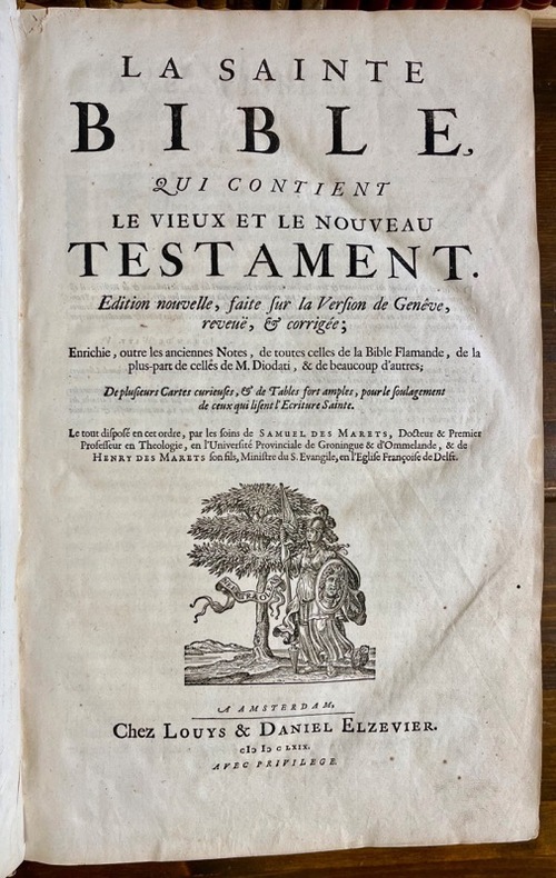
166918982A Amsterdam, Chez Louys & Daniel Elsevier, 1669. 4 parties en 2 tomes reliés en un volume in-folio, plein vélin estampé à froid, sur ais de bois. Traces d'attaches. [42]-366 ; [2]-162 ; [2]-202 ; 70 feuillets imprimés sur deux colonnes. *4; a-e6 ; f8; A-Z6 ; Aa-Zz6 ; Aaa-Ppp6 [et] A-Z6 ; Aa-Cc6 ; Dd8 [et] *2 ; A-Z6 ; Aa-Kk6 ; Ll4 [et] A-L6 ; M4.
1763177041763 toile, dans un emboitage 35 x 25 x 7 cm (XIXe sur laquelle on a placé l'étiquette XVIIIe). carte composée de 9 feuilles, 290 x 246 cms, 1763
7 colour printed maps. Scale 1:50,000 and 1:1,000,000. In English and Arabic. Folded. First edition. A set of exceedingly rare UAE topographic maps, compiled from 1:30,000 scale aerial photography taken during 1986 and 1987, presumably based on UK versions. The maps show international boundaries, tracks and paths, bridges, historical landmarks, schools, tree and date plantations, mangroves, oil and gas injection wells, mosques and cemeteries, emergency telephones, water pipelines and tanks, cliffs and rocky areas, as well as other details encountered in the vast desert. Occasionally the average relative height of the dunes is given, reaching up to 45 metres at certain points. - The 6 maps of the 1:50,000 series are sheets number NF-40-01-14, NF-40-01-22, NF-40-01-34, and NF-40-02-11, as well as NG-40-13-54, and NG-40-13-63. The maps of this series "were used extensively for UTM [Universal Transverse Mercator projection coordinate system] Zone 39 rectification. These maps have a local UAE national grid which is equivalent to the UTM grid if a bias of 2,150,000 m in the y-dimension and 150,000 m in the x-dimension are added" (Jensen). The single map of the 1:100,000 series, dating from 1992, is sheet number NG-40-136. - Some pencil marks and circles. The 1:50,000 scaled maps have a stamped six-digit number and a round stamp in Arabic type on the reverse; the 1:100,000 scaled map has a square stamp in Arabic type on the reverse. A few small tears and creases; occasional adhesive tape; paper variously pierced. No copies traceable in libraries internationally. Jensen [et al.], Coastal Environmental Sensitivity Mapping for Oil Spills in the United Arab Emirates [...] 8.
Farblithographie in 9 Blättern nach der kolorierten Originalfederzeichnung im Historischen Museum der Stadt Wien, bezeichnet “Alb: Camesina fe: 1856”. Auf Leinen als Wandkarte aufgezogen. 188:228 cm. Der von Albert Camesina (1806-1881) lithographierte und in kleiner Auflage gedruckte Plan erschien über zwei Jahre in einzelnen Lieferungen, was - neben dem übergroßen Format der Wandkarte und der verhältnismäßig kleinen Auflage - einen der Hauptgründe für seine Seltenheit darstellt. Der Wienplan des Mitarbeiters Augustin Hirschvogels Bonifaz Wolmut “stellte eine Kombination von ausgeführten und projektierten Festungsanlagen zur Diskussion. Darüber hinaus ergeben die detaillierte Wiedergabe des Grundrisses der Innenstadt [...] und die in freier Perspektive festgehaltenen Vorstadtränder eine grundlegende Dokumentation Wiens (Wien im Mittelalter, Kat. des Historischen Museums der Stadt Wien, 1975/6, Nr. 364). - Nur zwei der neun Segmente unbedeutend fleckig, am rechten unteren Rand etwas bestoßen, im Ganzen aber von sehr ansprechender Erhaltung. Fischler, Historischer Atlas des Wiener Stadtbildes, 12f. Oppl, Wien im Bild historischer Karten, Tafel 5.
1860LBW-8819[1860]. 375 x 610 mm, monté sur carton fort.
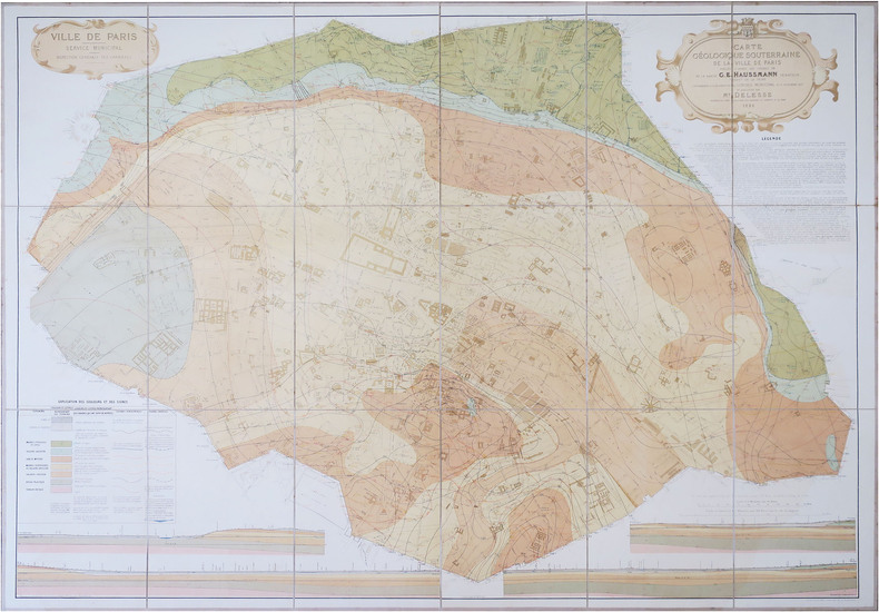
1858LBW-8771Paris, F. Savy, 1858. Deux cartes en 24 sections chacune, montées sur toile et repliées, de 0,98 x 1,36 m chacune ; étiquettes de titre au dos ; sous chemise et étui de papier marbré vert de l'époque ; pièce de maroquin rouge sur le premier plat ; pièce de titre rouge au dos de l'étui "Cartes hydrologique et géologique de Paris".
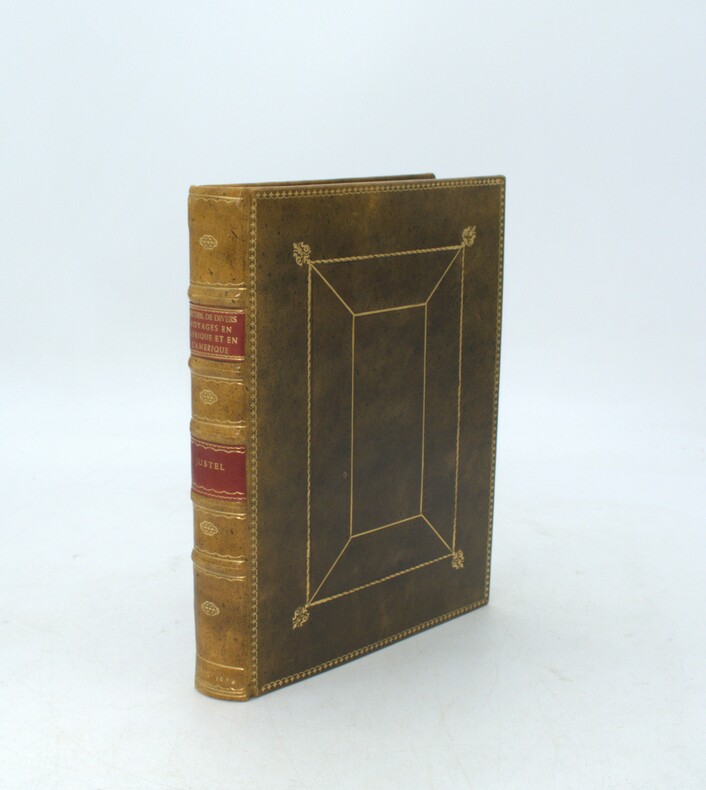
1674PHO-2032Paris, Louis Billaine, 1674. in-4 (228x164) , relié plein veau , filets sur les plats , dos à nerfs orné avec titre , auteur et date (reliure pastiche),tranches rouge. L'ouvrage est illustré de 12 planches hors texte, une carte de l'Éthiopie dans le texte, trois cartes dépliantes (Barbades, Jamaïque et Virginie, Maryland et la Nouvelle-Angleterre) manque la carte du Nil, mouillures, déchirure et réparation au pli (carte des Barbardes)