CRUYL Lievin (Ghendt 1640 - 1720)MareMagnum

11 981 résultats
La pianta del Cruyl, pubblicata per la prima volta nel 1665 dalla tipografia De Rossi, è una delle rare immagini della città che presenta contemporaneamente sia un impianto iconografico che prospettico.Le vedute presenti in questa pianta sono le stesse che furono poi oggetto di specifiche vedute intagliate dall’artista fiammingo, quasi come una sorta di catalogo personale.L’esemplare in questione è edito da Giovanni Battista De Rossi nel 1665. Sono note una ristampa con l'aggiunta di alcune vedute dei luoghi notabili ad opera di Matteo Gregorio de Rossi (1696) e un’ulteriore tiratura a cura di Carlo Losi, datata 1773.Incisa da Giulio Testone, su due matrici di rame, tracce di pieghe di carta, alcune abrasioni, nel complesso in ottimo stato di conservazione.In alto al centro il titolo: PIANTA DI ROMA COME SI TROVA AL PRESENTE COLLE ALZATE DELLE FABRICHE PIU NOBILI COSI ANTICHE COME MODERNE. Nel bordo superiore del riquadro: a sinistra L. Cruyl delin., al centro Superiorum licen. a destra Giulio Testone Romano Sculp.Opera molto rara e ricercata. Magnifico esemplare della tiratura di Carlo Losi, in perfetto stato di conservazione.BibliografiaArrigoni-Bertarelli (1939): n. 142; Christie’s (1998): p. 50, n. 1043; Ehrle (1908): p. 23; Frutaz (1962): pp. 216-217, n. CLIV, Tav. 343; Hülsen (1915): XXIV, pp. 87-89, nn. 110-111; Jatta (1992): p. 166, n. 31s; Jatta (2012); Marigliani (2007): pp. 216-217, n. 124 e p. 249, n. 155; Roma Veduta (2000): p. 175, n. 31; Scaccia Scarafoni (1939): pp. 125-126, n. 241. Etching with engraving, 1665. A fine impression, with plate tone, of the third state of three, printed on 2 sheets of contemporary laid paper, full margins, very good condition.This map was published for the first time in 1665 by De Rossi; it is one of the rare images of the city depicting, at the same time, an iconographic and perspective system. The views are the same that the Flemish artist engraved afterwards as a sort of personal catalogue. The first state has been printed by Giovanni Battista De Rossi in 1665. The plate was then published by Matteo Gregorio de Rossi in 1696 and finally reissued by Carlo Losi, in 1773. It has been engraved by Giulio Testone on two copper plates.A very rare and important map of Rome. A great example. Literature Arrigoni-Bertarelli (1939): n. 142; Christie’s (1998): p. 50, n. 1043; Ehrle (1908): p. 23; Frutaz (1962): pp. 216-217, n. CLIV, Tav. 343; Hülsen (1915): XXIV, pp. 87-89, nn. 110-111; Jatta (1992): p. 166, n. 31s; Jatta (2012); Marigliani (2007): pp. 216-217, n. 124 e p. 249, n. 155; Roma Veduta (2000): p. 175, n. 31; Scaccia Scarafoni (1939): pp. 125-126, n. 241.
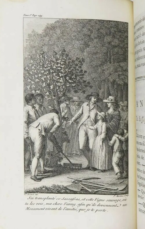
1787PHO-1655Paris, Cuchet, 1787. 3 vol. in-8 veau marbré, dos à nerfs ornés, p. de titre et de tomaison en mar. rouge et vert, tr. rouges (reliure de l'époque). 4ff.-xxxii-478pp-3ff., 3ff.-438pp.-5ff., 2ff.-592pp-2ff., illustrée de 3 vignettes de titre, 4 planches hors texte et 5 grandes cartes dépliantes. Qqs lég. épidermures, qqs restaurations aux coiffes et nerfs, manque de cuir en bas du second plat du tome I. Ex-libris M. Trumet, avocat. Mouillures claires par endroits. Bel exemplaire.
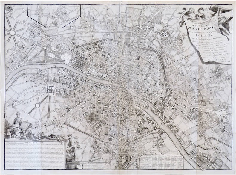
1744LBW-7309Paris, Charbonnier, 1744. 595 x 845 mm.
Rara pianta della città, a proiezione verticale, orientata con il nord in alto.La pianta fu pubblicata per la prima volta nel 1829: "La pianta del Censo è senz'altro la più accurata e significativa pianta della Roma Papale nel sec. XIX. Gli edifici sono campiti a tratteggio; chiese e monumenti principali sono rappresentate con la pianta interna. L'orografia è chiaramente leggibile così come il disegno del verde. Ampia legenda sul lato sinistro ed in basso a destra elenco dei XIV rioni. È raffigurata la sola città entro il perimentro delle mura che risalta pertanto nitidamente sul fondo bianco. Il Cardinale Cesare Guerrieri, primo presidente della Congregazione dei Catasti (poi Censo) dal 1816 al 1832, fece incidere e pubblicare questa pianta, basandosi sulle mappe manoscritte del Catasto Urbano ordinate da PIO VII nel 1818 e completate nel 1822" (cfr. Marigliani p. 323). Una seconda stesura dell'opera viene alla luce nel 1854, ristampa delle lastre originali, che contiene l'indicazione del ponte di ferro costruito accanto a Ponte Rotto. La pianta fu poi definitivamente emendata nel 1866 - questa nostra edizione."E' la più accurata immagine della città subito prima che diventasse capitale. Compare il ponte di ferro a San Giovanni dei Fiorentini (1863) ed è indicata la fabbrica dei tabacchi (1863) con l'antistante Piazza Matai (1864). Ci sono le linee ferroviarie a Termini (1862) mentre manca ovviamente il fabbricato die viaggiatori (1867). È riportato infine il primo tratto di via Nazionale (fino a via Quattro Fontane), tracciata proprio nel 1866" (cfr. Marigliani p. 411).Acquaforte, stampata da 4 lastre su altrettanti fogli di carta coeva, tagliati, applicati su tela e montati ad astuccio. Tela leggermente lesionata nelle pieghe, per il resto in buono stato di conservazione.Esemplare con ex-libris della libreria di Ulderico Bossi, che aveva sede in Roma a via del Corso 401.BibliografiaA. P. Frutaz, "Le piante di Roma", n. 191; C. Marigliani, "Le Piante di Roma delle collezioni private", n. 354; Scaccia Scarafoni, "Le Piante di Roma", n. 312. Rare map of the city, with vertical projection, oriented with the north at the top.The map was published for the first time in 1829, and is undoubtedly the most accurate and significant map of Papal Rome in the nineteenth century. Wide key-legend on the left side and at the bottom right list of the XIV districts. It is represented the only city within the perimeter of the walls that stands out clearly on the white background. Cardinal Cesare Guerrieri, first president of the Congregazione dei Catasti (later Censo) from 1816 to 1832, had this map engraved and published, based on the manuscript maps of the Catasto Urban ordered by PIO VII in 1818 and completed in 1822. A second issue of the map comes to light in 1854, reprint of the original plates, which contains the indication of the iron bridge built next to Ponte Rotto. The map was then definitively amended in 1866 - our edition.It is the most accurate image of the town just before it became capital of Italy. The iron bridge appears in San Giovanni dei Fiorentini (1863) and the tobacco factory (1863) is indicated with the opposite Piazza Matai (1864). There are the railway lines at Termini (1862) while the travellers' building (1867) is obviously missing. Finally, shows the first part of Via Nazionale, traced in 1866.Etching, printed from 4 plates on 4 sheets of contemporary paper, cut, applied on canvas and mounted in a box. Canvas slightly damaged in the folds, otherwise in good condition.Exemple with ex-libris of the book seller Ulderico Bossi, which was based in Rome in via del Corso 401.BibliografiaA. P. Frutaz, "Le piante di Roma", n. 191; C. Marigliani, "Le Piante di Roma delle collezioni private", n. 354; Scaccia Scarafoni, "Le Piante di Roma", n. 312. A. P. Frutaz, "Le piante di Roma", n. 191; C. Marigliani, "Le Piante di Roma delle collezioni private", n. 354; Scaccia Scarafoni, "Le Piante di Roma", n. 312.
1792LBW-6241Paris, Esnauts et Rapilly, 1792. En 21 sections montées sur toile et pliées, formant un plan de 0,67 x 1,09 m.
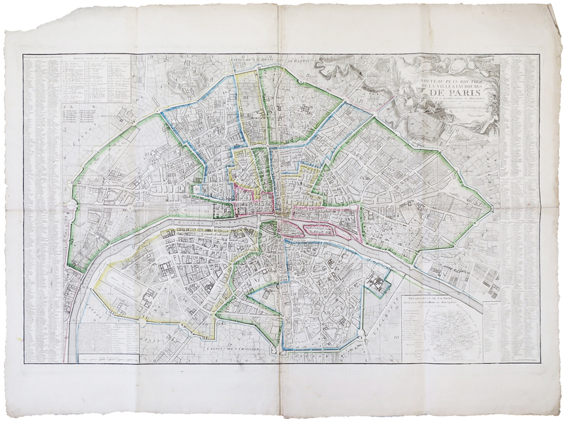
1797LBW-6291Paris, Esnauts et Rapilly, 1797. 0,65 x 1,05 m.
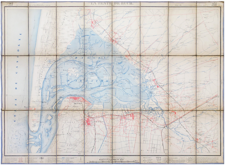
1875LBW-6806Bordeaux, Féret & Fils, 1875. En 24 sections montées sur toile et pliées, formant une carte de 632 x 863 mm.
1810LBW-2823[circa 1810]. 400 x 535 mm, monté sur carton.
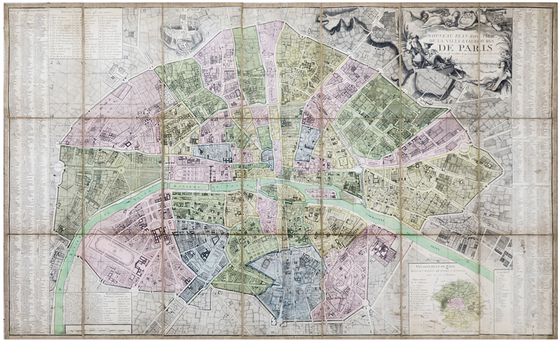
1860LBW-7971Paris, E. et D. Kaeppelin, et la Revue Municipale, 1860. En 32 sections montées sur toile et repliées, formant un plan de 0,98 x 1,29 m.
635 x 1302 mm. Mehrfarbige Kupferstichkarte, 44 Segmente auf Leinen aufgezogen mit Legende auf der linken Seite. Gefaltet in marmoriertem Umschlag und Schuber der Zeit mit goldgepr. Rückenschildchen "Grundriss von Wien". Der "inhaltlich vorzügliche" (Austria Picta) Grundrissplan von Wien, hier im seltenen Mehrfarben-Kupferstichdruck. Erstmals 1789 erschienen und noch mehrfach wiederaufgelegt. "Unter den Karten, die Artaria und Comp. [...] verlegte, bildet die von Stephan Jakubicska gezeichnete und Sebastian Mansfeld gestochene Umgebungskarte von Wien zweifelsohne den qualitativen Höhepunkt [...] Als Grundlage für die Arbeit dienten zweifelsohne die entsprechenden Sektionen der sog. Josephinischen Landesaufnahme [...] Es handelt sich hiermit um die einzige Karte, die auf Grund der streng geheimgehaltenen Josephinischen Landesaufnahme entworfen und im gleichen Maßstab (1:28.800) und in der gleichen Ausführung (Geländedarstellung) wie diese an die Öffentlichkeit gelangte [...] Jakubicskas Karte stellt jedoch keine bloße Kopie der Josephinischen Landesaufnahme dar: zum einen sind die [...] eingetretenen Veränderungen in der Topographie berücksichtigt [...], zum anderen hat Jakubicska die Karte nach Südosten orientiert, um im üblichen Quer-(Imperialfolio-)Format auch die kaiserliche Sommerresidenz Laxenburg unterzubringen" (Dörflinger, S. 285f.). - Mit den oft fehlenden ergänzenden Kartensegmenten von Baden und Trumau, die die Karte ab der dritten Ausgabe 1799 nach Südwesten erweiterten. Die vorliegende Neuausgabe von 1803 unterscheidet sich "von ihrer Vorgängerin durch einen geringfügig geänderten Titel [...], durch den zusätzlichen französischen Titel [...] und durch die Einzeichnung der 'Cavallerie Lager' und 'Infanterie Lager' bei Münchendorf", die in der Folgeausgabe von 1805 wieder entfernt wurden (Dörflinger, S. 371). - Alte hs. Bibliothekssignatur auf der Karte verso sowie auf dem Umschlag. Der Schuber unbedeutend berieben; die Karte ausgezeichnet erhalten. Dörflinger, Österr. Karten im frühen 19. Jh., S. 371. Vgl. Dörflinger, Österr. Karten des 18. Jhs., Art 11. Austria Picta, 108.
1636LBW-4982Amsterdam, [1636]. 387 x 503 mm.
1700LBW-818Amsterdam circa 1700 511 x 588 mm.
1670LBW-7365Paris, N. Langlois, [circa 1670]. 400 x 528 mm.
1782LBW-8237Paris, Lattré, 1782. En deux feuilles jointes formant un plan de 785 x 900 mm ; replié et monté dans une reliure de papier rose.
1900LBW-81511900. 498 x 619 mm.
1770LBW-41771770. 2 feuilles de 450 x 680 et 520 x 685 mm.
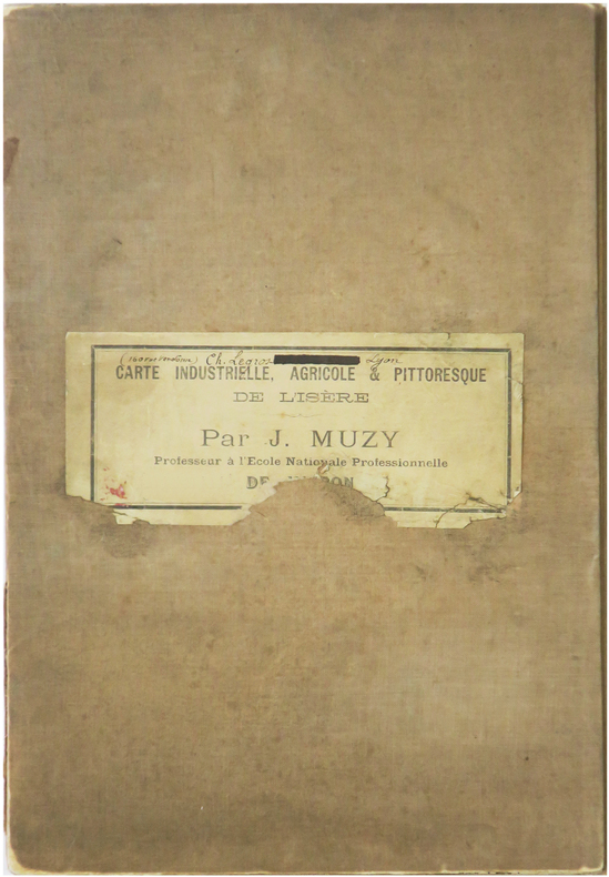
1897LBW-9024Voiron, chez l'auteur, [1897]. En 28 sections montées sur toile et repliées, formant une carte de 1,15 x 1,39 m ; étiquette au dos portant le titre et le nom de l'auteur.
1860LBW-6666Paris, L. Turgis J.ne, [circa 1860]. 450 x 600 mm.
1851LBW-8207New York & Philadelphia, [1851]. 314 x 427 mm et 313 x 425 mm.
1693LBW-2918[1693]. 607 x 868 mm.
1693LBW-2928[1693]. 585 x 873 mm.
1690LBW-7907[Paris], J.B. Nolin, [circa 1690]. 255 x 775 mm.
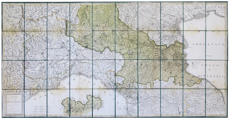
1797LBW-444Firenze, Pagni, e Bardi, 1797. En 40 sections montées sur soie verte et pliées, formant une carte de 725 x 1460 mm ; étui de papier avec titre en lettres dorées.