Meyer, Johann Ludwig von Knonau (1705–1785):Livre Rare Book
11 983 résultats
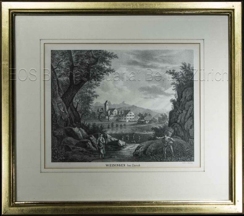
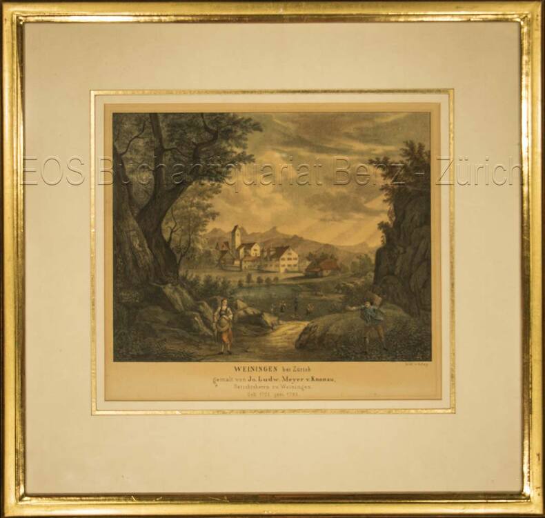
696DGKol. Lithographie von T. Rey. Bildausschnitt: 19 x 22 cm. Rahmen: 33,5 x 35 cm.
1850603BG(um 1850). Lithographie von R. Rey. Bildausschnitt: 16,3 x 21 cm. Rahmen: 31 x 35 cm.
199539156Hamburg, 1995. 99 S. Mit s/w-Abb. (= Schriftenreihen der Deutsch-Jüdischen Gesellschaft (DJG) Hamburg., Reihe 2, Heft 2). Gr.-8vo. OBrosch.
190388235Hamburg, C. Adler, 1902/1903. Mehrfach gefalt. farbiger Straßenplan. Kartenmaß 38 x 52 cm, Blattmaß 52,5 x 70 cm, Falzmaß 19 cm.
195188199[Hamburg, Hansa-Saat Ernst & von Spreckelsen, 1951]. Gefalt. zweifarbiger Stadtplan. Blattmaß 21 x 29, 5 cm, gefaltet auf 14,2 x 9,9 cm.
1597751022.GGood. Access codes and supplements are not guaranteed with used items. May be an ex-library book. unknown
No marks or inscriptions. No creasing to covers or to spine. A very clean very tight copy with bright unmarked boards, minor traces of storage and no bumping to corners. 56pp. Features on old and traditional buildings within the site explaining their constructional methods and history. Well illustrated. Tucked in are five colour postcards from the Museum.
0976373343-11-1Toucan Maps Inc. 4th. Very Good. It's a well-cared-for item that has seen limited use. The item may show minor signs of wear. All the text is legible with all pages included. It may have slight markings and/or highlighting. Toucan Maps Inc. unknown
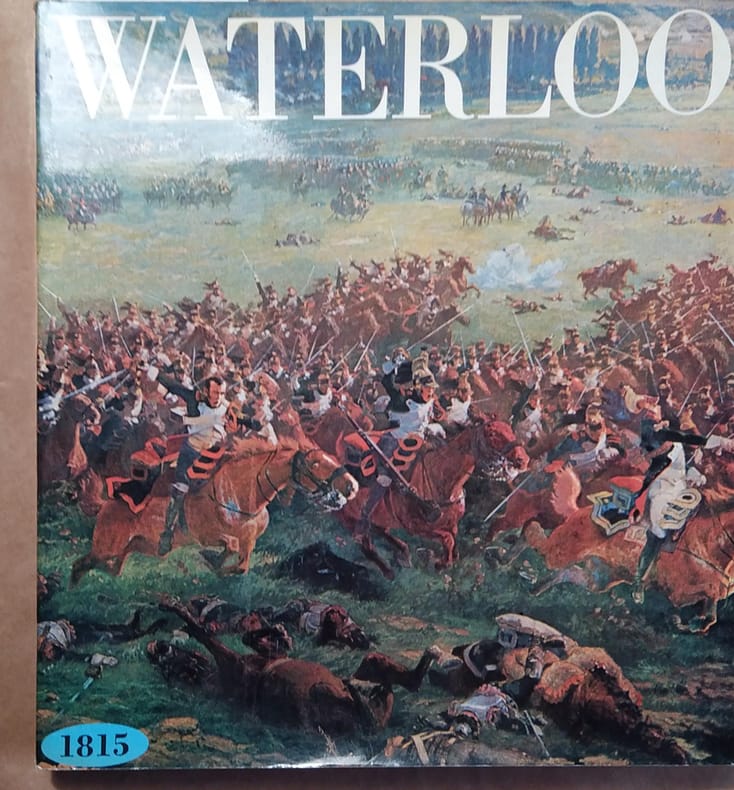
1972142887Couverture souple. Broché. 204 pages. 26 x 28 cm.
193849584Chicago: Rand McNally Co. ca. 1938. Large colour map 26.5 x 19.5 in. which folds into 12 sections w/ several inset colour maps on verso colour-illustrated Art Deco cover art of couple driving from the front & back advertising Triton Oil minor shelfwear some dustsoiling still VG map. First edition thus including large Highway map on one side of Washington & Oregon along with smaller inset maps for Portland Everett Salem Seattle Spokane and Tacoma before World War II. Rand McNally Co., unknown
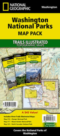
Q-0929591984National Geographic Maps 2015-10-01. Paperback. New. In shrink wrap. Looks like an interesting title! National Geographic Maps paperback
20121-1597752509Natl Geographic Society Maps 2012. Map. New. map edition. 1 pages. 30.50x1.60x1.60 inches. Natl Geographic Society Maps unknown
A9781597752503Sheet map. New. unknown
1597756024New. Brand new and still unused unknown
1597756024.Gmap. Good. Access codes and supplements are not guaranteed with used items. May be an ex-library book. unknown
20151-1597756024Natl Geographic Maps 2015. Paperback. New. fol map edition. 6 pages. 9.50x4.50x0.75 inches. Natl Geographic Maps paperback
19372306200115Government Printing Office 1937. hardcover. Very Good. 0x0x0. Bound in publisher's cloth. Hardcover. No dust jacket. Good binding and cover. Spine faded. Clean unmarked pages. Includes map in rear pocket. xxvi. 1140 pages. <br> The American Guide Series was a group of books and pamphlets published under the auspices of the Federal Writers' Project FWP a Depression-era works program in the United States. The American Guide Series books were compiled by the FWP but printed by individual states and contained detailed histories of each state with descriptions of every city and town. The format was uniform comprising essays on the state's history and culture descriptions of its major cities automobile tours of important attractions and a portfolio of photographs. Government Printing Office hardcover
(Amsterdam, ca. 1610). (19x25,5 cm.). Engraved map of the south east of England in old handcolouring with The Isle of Wright, London, Cambridge etc. etc. Letterpress headline outside engraving ""Angleterre"". Coloured in full. Right and left sides shaved.
Very slight marking to title page and crease to front cover. A very clean very tight copy with bright lightly marked covers. 72pp.
19971206114Norwalk CT: Easton Press 1997. Collector's Edition of the Fiftieth Anniversary Edition. Small octavo; VG/No-DJ; Dark blue leather spine with gilt lettering; Cover has gilt bird design and titles on front very light wear to edges some rubbing and blemishes to front cover; A.E.G. minimal rubbing to gilt edges of text block; Bound-in bookmark; Binding is tight; Text block is pristine; NOTE: No leaflet or other Easton Press ephemera; 656 pp. 1206114. Rockville Non-Retail Listings. Easton Press unknown books
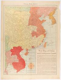
1519180794Chicago.: Chicago Daily Tribune. January 151942. Printed colour map on a single newspaper leaf 53 x 40.7 cm; 59.8 x 45 cm sheet inset text box marginal browning and at the folds but remarkably bright in very good condition. WWII map of China showing most of China Indo-China Thailand and Korea with territory captured and controlled by Japan shaded in orange and red published by the Chicago Daily Tribune barely six weeks after the bombing of Pearl Harbour. The text on the map reads "Since 1937 China has been at war with Japan. Lacking many essentials of war the Chinese nevertheless have managed to maintain a front against the aggressors. China's principal life line is the Burma road shown on the map which starts at Lashio Burma and extends to Kunming Yunnan province where it links with connections to Chunking the present Chinese capital". <br> <br>Based on a Rand McNally map the Tribune briskly got to work issuing maps for readers showing the beginnings of the war with Japan. Later maps were also published for sale separately but remarkably few have survived. <br>"… the historic Chicago Tribune was an innovator in color inks and printing but also a pioneer in bringing colorful art in the form of illustrations photographs cartoons and advertisements to the average person in an everyday medium." see The Janet A. Ginsburg Chicago Tribune Collection Michigan State University Libraries. . Chicago Daily Tribune. unknown
554p. + Plus frontis and color folding map. Full page text half-tone engravings from photographs. Title page printed in red and black. Paper beginning to brown but not brittle. 4to. Original full cloth binding with pictorial design of British soldier, Boer soldier and an African tribesman. Binding slightly soiled. Nice copy. AFRICA/2
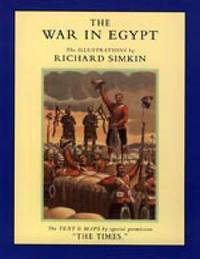
1843424215.Gpaperback. Good. Access codes and supplements are not guaranteed with used items. May be an ex-library book. paperback
2003x-1843424215Naval & Military Press Ltd 2003. Paperback. New. revised ed. edition. 66 pages. 9.53x7.24x0.24 inches. Naval & Military Press Ltd paperback
161048922(Amsterdam, ca. 1610). (19x25,5 cm.). Engraved map of the south east of England in old handcolouring with The Isle of Wright, London, Cambridge etc. etc. Letterpress headline outside engraving ""Angleterre"". Coloured in full. Right and left sides shaved.