Livre Rare Book
Witzig Roland:Livre Rare Book
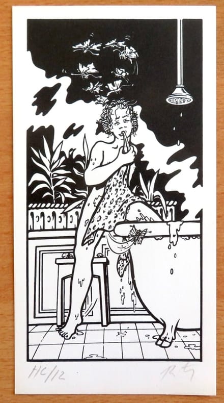
Witzig - Petite sérigraphie signée.
26120Lausanne, La Marge. Sérigraphie en noir, au format 11 x 21 cm.
La Bergerie · Le Locle, Suisse20,00 CHF≈ 19,11 €
11 983 résultats
1974015306Paris Galerie Beaubourg 1974 plaquette in-4 Broché, couverture illustrée Edition originale Dédicacé par l'auteur
26120Lausanne, La Marge. Sérigraphie en noir, au format 11 x 21 cm.
72355Hardcover. Very Good. Wittsburg Arkansas: Crowley's Ridge Steamboat Riverport 1848-1890 hardcover
Format: 18 x 29,5 cm. *Leicht gebräunt, insgesamt gut erhalten. Landkarten de
Couverture orange.
38 x 43,5 cm. (Blatt: 45 x 55 cm). *Die Orteliuskarte Württemberg. - In den oberen äußeren Ecken mit gebräuntem Wasserrand (außerhalb der Darstellung), ansonsten sauber und sehr gut erhalten. Landkarten de
191063113London & Norwich UK: Coleman & Co. Ltd. John Bartholomew & Co. Fletcher & Son Ltd. Litho ca. 1910. Sixteen parts. 64 pp unpaginated. double-page colour-lithograph maps throughout sized 9.5 x 7.2 when unfolded. Self-printed colour lithograph softcovers decorated title cover on front of each installment Wincarnis tonic advertisement in full colour on back cover edgewear thumbing minor chipping to a few fore-edges & corners still a G set. First edition thus of this uncommon and complete set of promotional maps for automobile travelers and bicyclists in Edwardian England whose drivers and riders were often fueled by the “delicious tonic and restorative recommended by over 8000 medical men.†The 16 maps featuring sections from London to Cornwall South Wales to Manchester and Lincolnshire to Yorkshire offered an accurate and compact set of travel maps documenting main roads secondary roads “other roads typically nearly impassable local lanes & livestock paths railways and rivers. Wincarnis was first introduced as a medicinal treatment in the Victorian era was a liqueur derived from a mix of secret herbs & spices meat extract malt extract infused with cloves nutmeg and citrus and although not openly marketed as alcoholic featured a significant 17-18% alcohol content. Therapeutic use was widely encouraged and severe motoring and bicycle accidents often included drivers and riders under the influence. Following the 1914 Parliamentary “Commission on Patent Medicines†investigation numerous changes and rules were changed regarding marketing and sales of such products as well as curtailing of hyping the “Restorative†properties. Worldcat locates 2 sets 1 undated - Hartley Library; 1 set misdated -- Wellcome; See: Drinking for Health: Proprietary Tonic Wines Chapter 10 Drinking in Victorian and Edwardian Britain: Beyond the Spectre of the Drunkard National Library of Medicine 2018. Coleman & Co., Ltd., John Bartholomew & Co., Fletcher & Son, Ltd. Litho, paperback
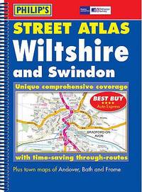
054008770X.Gspiral_bound. Good. Access codes and supplements are not guaranteed with used items. May be an ex-library book. unknown
pp. 341 + Illus. & Large folding map. Modestly XLib. 8vo. 250 mm. Original full cloth binding. Hardbound. Good. Colonel William Byrd II (1674-1744). From Wikli: He was a planter, slave owner and author from Charles City County in colonial Virginia. He is considered the founder of Richmond, Virginia. Byrd's life showed aspects of both British colonial gentry and an emerging American identity. His education included the classics, apprenticeship with London global business agents, and legal studies. He was admitted to the bar and served for years as Virginia Colony's official agent in London where he opposed increasing the power of royal governors. A member of the Royal Society, he was an early advocate of smallpox inoculation. Upon his return to Virginia, Byrd expanded his plantation holdings, was elected to the House of Burgesses, and served on Virginia Governor's Council, also known as Virginia's Council of State from 1709 until his death in 1744. He commanded county militias and led surveying expeditions along the Virginia-Carolina border and the Northern Neck. This is his 'Secret History' of the 1728 expedition. OVERSIZE 5 / YORK HS
199777484[Hamburg], 1997]. Mehrfach gefalt., farbige Karte (60 x 56).
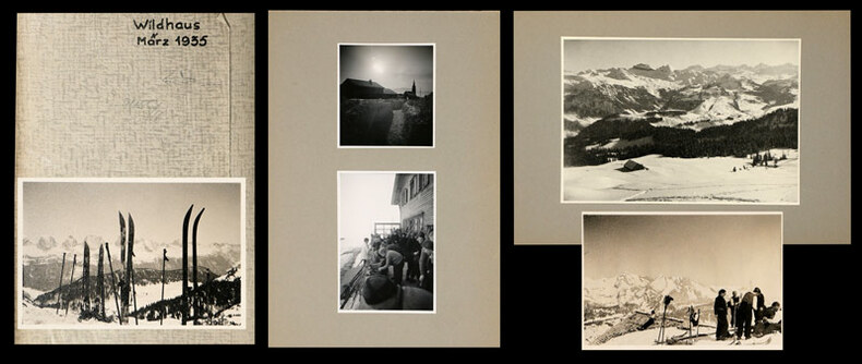
1935745CGMärz, 1935. 22 Fotografien, montiert auf Halbkarton, 15 lose Fotografien und 6 (grössere) Fotografien, mont. auf Halbkarton. Format: ca. 8 x 6 u. 6 x 8 cm bzw. ca. 10 x 14 cm. + Wichtig: Für unsere Kunden in der EU erfolgt der Versand alle 14 Tage verzollt ab Deutschland / Postbank-Konto in Deutschland vorhanden +, Mappe und Fotos
1935745CGMärz, 1935. 22 Fotografien, montiert auf Halbkarton, 15 lose Fotografien und 6 (grössere) Fotografien, mont. auf Halbkarton. Format: ca. 8 x 6 u. 6 x 8 cm bzw. ca. 10 x 14 cm.
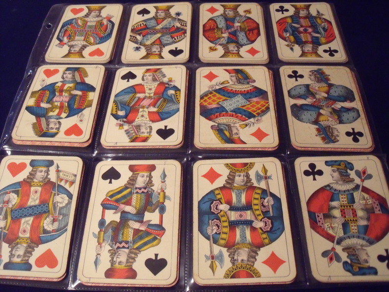
19060631906Wiener Bild.Portrait Viennois. Jeu Des Couronnes.Kaffée Haus KARTEN.(cartes des maisons de café.)type A. 52cartes.complet.1906.Fabricant:SD.ModianoTriest.Italie.Trés bon état .Sans boite.
1740161351740 570 x 650 mm. Carte sur cuivre, coloris ancien. Augsbourg Seutter ca. 1740.
4 volume set, over 80 pages, illustrated, includes articles on the Kobe Earthquake, coastal pollution, ozone depletion and Pakistan. eng
No marks or inscriptions to contents. Very minor creasing to covers. A very clean very tight copy with slightly marked rear board, rusty staples and no bumping to corners. 40pp. Reprinted motor runs from and around Manchester by the Manchester Evening News Motoring Correspondent. Undated but Jodrell Bank is stated now to be complete and it was finished in 1957.
24" x 18" map of White Rock, British Columbia. Undated but appears to be circa 1978. Includes directory and locations of local businesses. Light wear. Unmarked. A quality copy of this nice White Rock memento. Map
1996G0930657160I3N00Outdoor Books & Maps 1996. Paperback. Good. Pages can have notes/highlighting. Spine may show signs of wear. ~ ThriftBooks: Read More Spend Less.Dust jacket quality is not guaranteed. Outdoor Books & Maps paperback
0930657160.Gpaperback. Good. Access codes and supplements are not guaranteed with used items. May be an ex-library book. paperback
No marks or inscriptions. Creasing to lower corner. A very clean very tight copy with bright unmarked boards and no bumping to corners. 32pp. Guide to Bollington, near Macclesfield, Cheshire. White Nancy is the structure on the hill overlooking the Village. Tucked in is a used Christmas card of a snow scene featuring White Nancy.
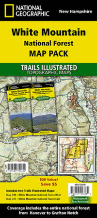
159775224X.Gmap. Good. Access codes and supplements are not guaranteed with used items. May be an ex-library book. unknown
2001DADAX159775224XNational Geographic 2020-01-01. 2020. map. New. 4.25x0.20x9.25. Buy with confidence. Excellent Customer Service & Return policy. National Geographic unknown
0008368317.Gmap. Good. Access codes and supplements are not guaranteed with used items. May be an ex-library book. unknown
19802090502113716153Not Available 1980. Soft Cover. Fine. The book is in fine condition. Not Available paperback
35,5 x 46 cm. (Blatt: 42 x 52 cm). *Sauber und sehr gut erhalten, sehr schöne Kolorierung.. Landkarten de