COELLO, Francisco.MareMagnum
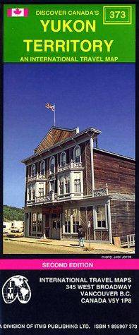
International Travel MapsBiblio.com
Yukon
1895907373.Gmap. Good. Access codes and supplements are not guaranteed with used items. May be an ex-library book. unknown
Bonita · États-Unis111,90 $US≈ 94,68 €
11 983 résultats
Madrid, 1863. Un mapa de 84 x 111 cm., plegado a 21 x 14 cm., coloreado, con planos particulares de Zamora; Puebla de Sanabria; Contornos de Benavente; Toro; Contornos de Zamora. Encuadernación original en cartoné y media tela.
1895907373.Gmap. Good. Access codes and supplements are not guaranteed with used items. May be an ex-library book. unknown
194463900Washington D.C. & New York NY: Navy distribution by Educational Services Section; Prepared and distributed by Army Information Branch Army Service Forces 1944. Oblong double atlas folio. 47 x 34.5 in. One large double-sided colour lithograph map and panoramic cutaway view minor dustsoiling light age toning very minor creasing at folds still a NF copy. First edition of this splendid educational panorama with cutaway view of a World War II Balao-class submarine conning tower lines have been altered to prevent enemy identification when surfacing which improved upon the Gato class with higher yield-strength steel pressure hull skins and increased depth to 400 feet. The four inset maps on verso track the campaigns in the Philippine Islands with maps for Manila Bay and Cebu Leyte & Samar separately as well as maps tracking the Western Front progress in 1944 just 4 months after D-Day. Navy distribution by Educational Services Section; Prepared and distributed by Army Information Branch, Army Service Forces, unknown
Covers lightly creased, rear cover yellowed, (Your Guide Map Series ; 2). eng
19922080502106508353Not Available 1992. Soft Cover. Fine. Volume: 1 Not Available paperback
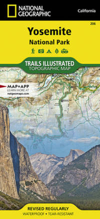
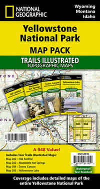
Q-1566952999National Geographic Maps 2019-01-01. Map. New. In shrink wrap. Looks like an interesting title! National Geographic Maps unknown
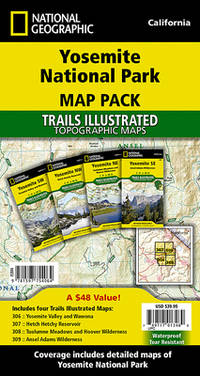
1597754064.Gmap. Good. Access codes and supplements are not guaranteed with used items. May be an ex-library book. unknown
DADAX1597754064National Geographic 2019-01-01. 2019. map. New. 4.00x0.40x7.50. Buy with confidence. Excellent Customer Service & Return policy. National Geographic unknown
SONG1597754064National Geographic 2019-01-01. 2019. map. Used: Good. 4.00x0.40x7.50. Buy with confidence. Excellent Customer Service & Return policy. National Geographic unknown
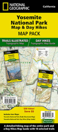
2010SONG1566958369National Geographic 2022-01-01. 2022. map. Used: Good. 4.20x0.50x9.50. Buy with confidence. Excellent Customer Service & Return policy. National Geographic unknown
188850324121078E J Arnold Leeds 1888. First Edition. Hardcover. Very Good Condition/No Dust Jacket. Illustrator: F D King. Small slim green volume with black lettering and decoration is lightly sunned on the spine. Sound binding clean pages black and white plates and crisp intact fold-out maps. 100 pages plus fold-out maps. No dust jacket as published. Illustrator: F D King. Quantity Available: 1. Shipped Weight: under 1 kg. Pictures of this item not already displayed here available upon request. Inventory No: 50324121078. All our books music and maps are sent by a tracked mail service. E J Arnold hardcover
Booklet in mint condition. 32pp.
No marks or inscriptions. Small crease to upper corner of front cover. A very clean very tight copy with slightly dusty covers and page edges and no bumping to corners. Large fold out map at rear in excellent condition. 118pp. Detailed description dale by dale,-village by village, site of interest by site of interest through all the Yorkshire Dales. Undated ca 1960.
1st edition. Very good condition folded picture map and guide. ISBN 0951886908 50969. eng
1553414624.Gmap. Good. Access codes and supplements are not guaranteed with used items. May be an ex-library book. unknown
1597754013.Gmap. Good. Access codes and supplements are not guaranteed with used items. May be an ex-library book. unknown
2023DADAX1597754013National Geographic 2023-01-01. 2023. map. New. 4.00x0.40x7.50. Buy with confidence. Excellent Customer Service & Return policy. National Geographic unknown
20042471-NE<p>Wide World of Maps 2004. Softcover / Spiral Bound. New. New no remainder mark wire-ring bound 86 pp. plus several of index.</p> Wide World of Maps paperback
1887749373.Ghardcover. Good. Access codes and supplements are not guaranteed with used items. May be an ex-library book. hardcover
19782080502106904230Not Available 1978. Soft Cover. Fine. The book is in fine condition. Not Available paperback
1930206841Kofu.: Onkodo Printing Co. circa1930s. Colour pictorial map 70.2 x 56 cms; 75.5 x 59.5 cms sheet light wear along the inner margin some soft creases from folding short split at center fold; in very good clean condition. An appealing and decorative map of Yamanashi Prefecture which while a process print has the attractive soft look of a lithograph adorned with vignettes of key attractions landmarks such as Mt. Fuji and industry such as silk and wine. The legend lists Railways 'Footing' Roads Hot Springs Hotels and National Parks. A scarce and attractive English language map for the tourist market. . Onkodo Printing Co., unknown
No marks or inscriptions. No creasing to covers or to spine. A very clean very tight book of fold-out postcards with bright unmarked boards and no bumping to corners. Thirty-eight coloured photographs of Yalta the Russian resort in the Crimea, most postcard size, a few half-size, some double size. Descriptions in English, French, Spanish, German and two Cyrilic languages. Undated, ca 1955. Very scarce.
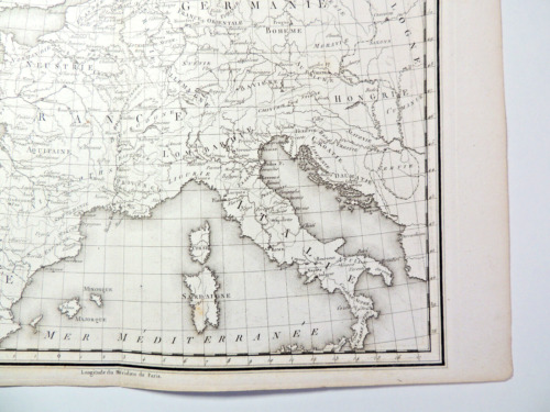
CZC-11678Gravée par P.F. Tardieu, authentique datée vers 1790, sur papier fort, recto uniquement, pliable, dimensions : 39 cm x 27 cm, parfait état. L'Empire carolingien est le résultat de l'expansion territoriale du royaume franc sous l'influence de la dynastie carolingienne pendant le haut Moyen Âge. Il s'étend de l'Europe occidentale à l'Europe centrale. Charlemagne était à la tête de près de la moitié de l'Europe et de 10 millions de sujets, de la Mer du Nord à la Méditerranée. Par ses conquêtes, le fondateur de la dynastie carolingienne a doublé l'étendue des territoires soumis aux rois des Francs, et a régné sur un empire de 1,2 million de km2. Classeur 3
CZC-11678Gravée par P.F. Tardieu, authentique datée vers 1790, sur papier fort, recto uniquement, pliable, dimensions : 39 cm x 27 cm, parfait état. L'Empire carolingien est le résultat de l'expansion territoriale du royaume franc sous l'influence de la dynastie carolingienne pendant le haut Moyen Âge. Il s'étend de l'Europe occidentale à l'Europe centrale. Charlemagne était à la tête de près de la moitié de l'Europe et de 10 millions de sujets, de la Mer du Nord à la Méditerranée. Par ses conquêtes, le fondateur de la dynastie carolingienne a doublé l'étendue des territoires soumis aux rois des Francs, et a régné sur un empire de 1,2 million de km2. Classeur 3
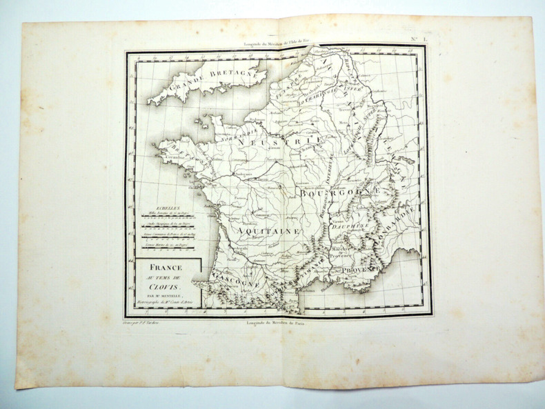
CZC-11676Gravée par P.F. Tardieu, authentique datée vers 1790, sur papier fort, recto uniquement, pliable, dimensions : 39 cm x 27 cm, parfait état. Classeur 3