5 783 résultats
17956386Paris, de l'imprimerie de Pierre Didot l'aîné, l'an IIIe de la République, 1795 - l'an VIe de la République, 1798. 1795 3 vol. in-4° (300 x 225 mm) de : I. 1 frontispice ; 1 portrait ; LV (dont faux titre, titre, préface) ; 176 pp. (dont table) ; 59 planches et cartes (n°1 à 59) ; II. 256 pp. (dont faux titre, titre) ; 54 planches et cartes (n°60 à 113) ; 149 pp. ; [3] ff. ; pp. 392 pp (reprise à 153) ; 53 planches et cartes (n°114 à 159, 140 et 141 ainsi que 142 et 143 réunies en deux planches + 9 non numérotées) ; petit dessin collé en regard de la planche n°8 avec notes manuscrites. Un total de 166 planches et cartes dont 2 composées de 2 numéros, certaines dépliantes et 9 planches d'éléments décoratifs non numérotées. (Petites manques aux premiers feuillets du second volume). Pleine basane marbrée, dos à nerfs orné, pièce de titre de maroquin et tomaison, filets dorés sur les plats, dos à nerfs très ornés, tranches rouges, gardes de couleurs. (reliure frottée).
1686PHO-2093Paris, Arnould Seneuze, Daniel Horthemels, 1686, in-4 (24,5x19cm): 16ff.-424pp. 8ff., illustré de 20 planches dont certaines à double pages, gravées par Cornelis Vermeulen, d'après les dessins de P. Sevin, relié plein veau chiné, dos à nerfs orné avec titre, frottements, manques en tête et coiffe arasée, 1 coin usé, mouillure en coin sur une quinzaine de feuillets, une planche détachée, quelques brunissures et rousseurs.
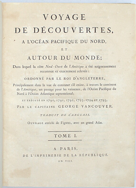
1800PHO-2418Paris, Imprimerie de la République, an VIII (1800). 3 vol. in-4 (28,5 × 21 cm), XII-491pp., 2ff.-516pp., 3ff.-562pp., demi-veau fauve à petits coins de vélin, dos lisses teintés vert et ornés de bateaux (reliure de l’époque). Charnières fendillées, accrocs à deux coiffes. Infimes rousseurs, petites déchirures sans gravité. Tome I, quelques cahiers brunis, 1 feuillet fragile.
1873160611Stuttgart, Metzler`sche Buchh. 1873. Fol. 11 (teils farb.) doppelblattgr. Taf. 14 S. Text. OHlwd. Einbd. angeschmutzt u. leicht angerissen sowie m. Sign. Vors. etwas stockfl., m. kl. Anriss an Bind. u. kl. Sign. Teils etwas randgebräunt. St. u. Sign. a. Tit.
<br/> TITOLO: Von Ammoniten und Zwillingen. <br/> AUTORE: Katalog zur Ausstellung der 36. Mineralientage:<br/> CURATORE: München, Neue Messe, 29.-31. Oktober 1999. Herausgegeben von Rainer Bode.<br/> EDITORE: Rehms Druck<br/> DATA ED.: 1999,<br/>
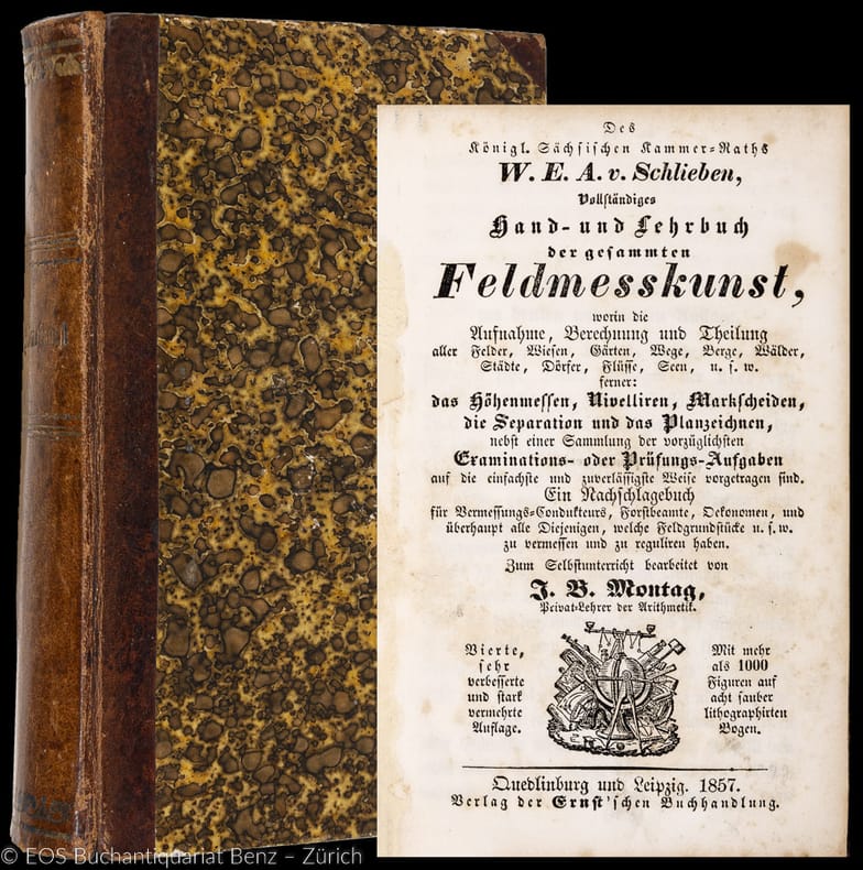
185731209ABQuedlinburg, Ernst, 1857. 8°. XVI, 464 S. Mit 8 gef. Tafeln. Halblederband der Zeit. + Wichtig: Für unsere Kunden in der EU erfolgt der Versand alle 14 Tage verzollt ab Deutschland / Postbank-Konto in Deutschland vorhanden +, A 4., sehr verb. u. stark verm. Aufl.
185731209AB4., sehr verb. u. stark verm. Aufl. Quedlinburg, Ernst, 1857. 8°. XVI, 464 S. Mit 8 gef. Tafeln. Halblederband der Zeit.
Paris, Hervas, 1990, 4to (cm. 30,5 x 21,5) piena pelle editoriale con fregi e titoli dorati al piatto anteriore e al dorso, sovraccopertina illustrata a colori e cordoncino in seta, pp. 185 con 164 illustrazioni e carte a colori (anche ripiegate) ed una carta sciolta, a colori, di grande formato, più volte ripiegata.
90574Paris, Bibliothèque Nationale, 1992. 21 x 30, 187 pp., 164 illustrations en couleurs et en N/B, broché, couverture à rabats, très bon état (sauf 1 cachet d'ex-propriétaire).
Bella e rara carta dell'isola di Corfu edita da Ferrando Bertelli a Venezia nel 1564. In una targa in alto a destra si legge: Vogliono alcuni che l'Isola di Corfú fosse prima da Sisifo latrone figliolo di Eolo habitata, et domandata da lui Corcira; la quale doppo la sua morte essendo stata rovinata, di novo la restauro Corinto figliolo di Oreste, donde prese il nome di Corinto, et appresso fú detta Malena, hoggi da tutti é detta Corfú: la quale, come sivede nel disegno diligentemente fatto, si come hoggi si trova in essere, con tutte le sue Ville, Fiumi, Porti, Monti, Secchi, et altre cose, é di figura oblonga, et é lontana dalla Italia per miglia sessanta, et da Epiro miglio uno per un Capo, et per l'altro miglia venti, la sua longhezza é di miglia quara[n]ta in circa, et circo[n]da quasi trecento miglia. Fera[n]do Berteli exc: 1564.Orientazione nei quattro angoli e nei quattro lati al centro con il nome dei venti e dei mezziventi TRAMONTANA, GRECO, LEVANTE, SIROCCO, OSTRO, LIBECCIO, PONENTE, MAESTRO, il nord-est a sinistra. Carta priva di scala grafica e graduazione ai margini. La prima derivazione veneziana del prototipo del Monogrammista PS (stampato a Roma nel 1537) si deve alla collaboratione tra Paolo Forlani e Ferrando Bertelli. La mappa è orientata questa volta con il sud-est in alto ed è priva delle raffigurazioni relative agli accampamenti dei turchi, lasciando quindi il centro della mappa vuoto e con pochissima toponomastica. Presenta il paesaggio con i centri abitati tridimensionali ma senza dettagli realistici (ad eccezione della città di Corfù), una orografia “a mucchi di talpa” e una idrografia piuttosto elementari. Al centro della tavola, sulla costa occidentale dell’isola, la città di Corfù è evidenziata in modo simbolico con una veduta prospettica della cittadella fortificata e del porto, ricca di dettagli architettonici, ma rappresentata in modo sproporzionato, in scala maggiore rispetto al resto del territorio.La carta ebbe un notevole successo, come testimonia il grande numero di esemplari presenti nelle raccolte cinquecentesche, e fu anche fonte per la piccola carta che Abraham Ortelius inserì nel suo Theatrum Orbis Terrarum.Esemplare marginoso, in perfetto stato conservativo.Bibliografia: Bifolco-Ronca: Tav. 727; Tolias (2011): n. 0083; Tooley (1939): n. 165; Zacharakis (1992): n. 223; Zacharakis (2009): n. 354; Woodward (1990): n. 27; Woodward (1992): n. 33. Vogliono alcuni che l’Isola di Corfu fosse prima da Sisifo latrone figliolo di Eolo habitata, et domandata da lui Corcira; la quale doppo la sua morte essendo stata rovinata, di novo la restauro Corinto figliolo di Oreste, donde prese il nome di Corinto, et appresso fu detta Malena, hoggi da tutti e detta Corfu: la quale, come sivede nel disegno diligentemente fatto, si come hoggi si trova in essere, con tutte le sue Ville, Fiumi, Porti, Monti, Secchi, et altre cose, e di figura oblonga, et e lontana dalla Italia per miglia sessanta, et da Epiro miglio uno per un Capo, et per l’altro miglia venti, la sua longhezza e di miglia quara[n]ta in circa, et circo[n]da quasi trecento miglia. Fera[n]do Berteli exc: 1564.Etching with engraving, signed in the cartouche Fera[n]do Berteli exc: 1564. A fine impression on contemporary laid paper, with original margins, very good conditions.The first Venetian derivation of the prototype of the Monogrammist PS (1537, Bifolco-Ronca Tav. 726) is due to the collaboration between Paolo Forlani and Ferrando Bertelli. The map this time is oriented with the southeast at the top and is devoid of the depictions with the camps of the Turks, thus leaving the center of the empty card and with very little toponymy. Presents the landscape with three-dimensional inhabited centers but without details realistic (except for the city of Corfu). The orography is typical of Forlani, represented in "heap of mole", while hydrography it is rather elementary. At the center of the map, on the east coast of the island, the city of Corfu is highlighted off the scale, with a perspective view of the fortified citadel and the port. The map was very successful, as evidenced by the large number of copies present in the sixteenth century collections, and was also the source for the small map that Abraham Ortelius inserted into the “Theatrum Orbis Terrarum” (1570). Even if it’s not signed, the map was ascribed to Forlani by D. Woodward for obvious stylistic reasons.Literature: Bifolco-Ronca: Tav. 727; Tolias (2011): n. 0083; Tooley (1939): n. 165; Zacharakis (1992): n. 223; Zacharakis (2009): n. 354; Woodward (1990): n. 27; Woodward (1992): n. 33.
<br/> TITOLO: Vocabolario geografico universale dei principali nomi di geografia moderna e dei paesi italiani ossia prontuario di geografia fisica e politica. <br/> AUTORE: Pacella,Pietro.<br/> EDITORE: Vincenzo Morano Ed.<br/> DATA ED.: 1882,<br/> COLLANA: Testo su tre colonne.<br/> Prima edizione.
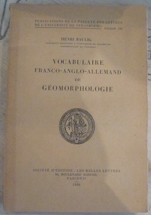
1956146291956. Paris Société d'Edition Les Belles Lettres 1956 - Broché 16 5 cm x 24 cm XIV+ 230 pages - Texte de Henri Baulig - Bon état
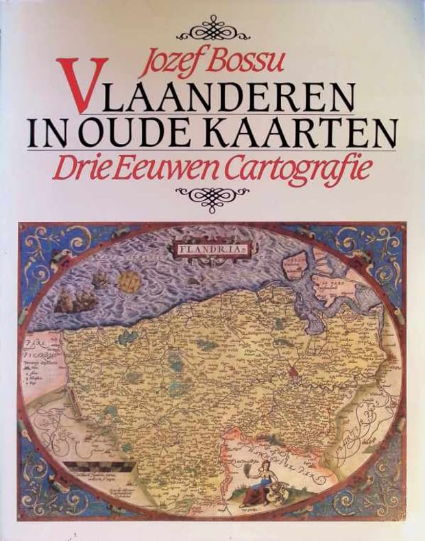
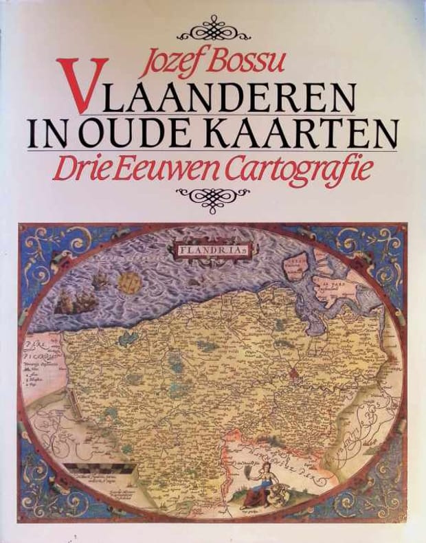
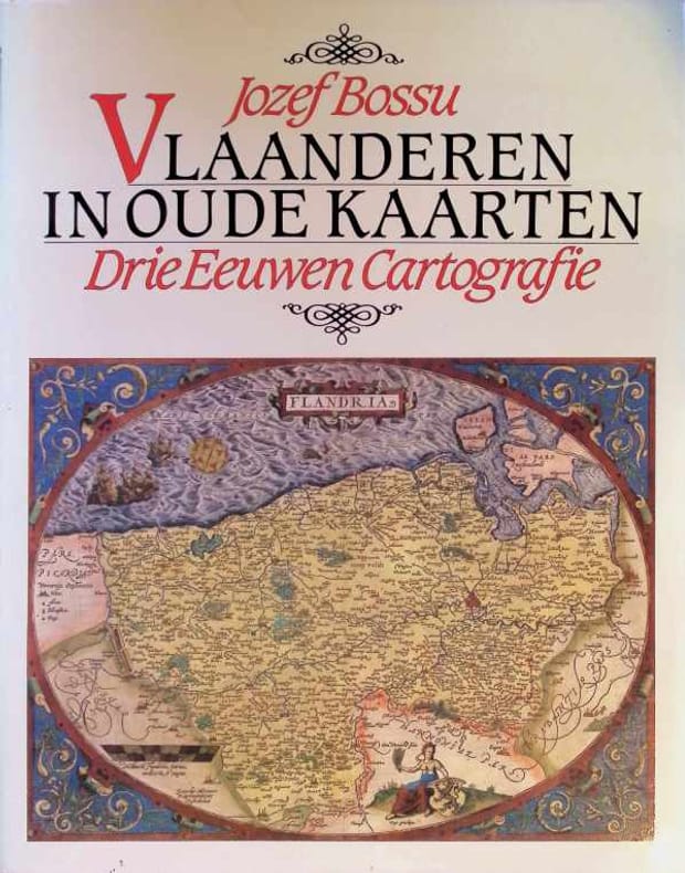
This is a very good hardcover copy with almost no wear. Slight wear to dust jacket corners. Completely clean inside and out. Text in Dutch with summaries in English, Italian, French and German at the end. Captions to plates in all four languages. Illustrated throughout in color and black & white with many full-page plates. 15" high X 12" wide, 168 pages.This book will be securely wrapped and packed in a sturdy box and sent with tracking.
168pp. rijkelijk geïllustreerd in kleur, 38.5x30.5cm., linnen band met stofwikkel, goede staat, B31675
1983B31675Tielt-Bussum, Lannoo/ Fibula-Van Dishoeck 1983 168pp. rijkelijk geïllustreerd in kleur, 38.5x30.5cm., linnen band met stofwikkel, goede staat, B31675
1982029670Tielt 1982 Lannoo Hardcover As New 1st Edition
1982029671Tielt 1982 Lannoo Hardcover As New 1st Edition
1982029780Tielt 1982 Lannoo Hardcover As New 1st Edition
1994264321Paris: the museum 1994. Paperback. 211p. vivid color reproductions throughout supplemented with modern diagrammatic maps showing different expeditions softbound in 10x8 inch frenchfold wraps. Expect a severe vertical crease to front cover with creasing of several adjacent leaves including titlepage and instances of pencilled comment in three locations: half-title and pages 146 176. A good reading copy the volume remains entirely useful. the museum paperback books
66939, Brepols - Harvey Miller, 2025 hardcover, Pages: 247 pages, Size:225 x 300 mm, Illustrations:4 b/w, 121 col., Language(s):English. ISBN 9781912554768.
Book has slight soiling to textblock. Dustjacket is price-clipped. DJ has small tears to corner and chipping to spine ends. Light soiling to DJ. ; Evidence concerning the Viking discovery of North America in the tenth and eleventh centuries is so incomplete, investigation of this area of history will be substantially aided by the discovery of new documents. Such is the claim made for the previously unknown manuscripts here published for the first time. They are two documents copied about 1440 from much earlier originals, now lost. The first is an account of Friar John of Plano Carpini's mission to the Mongols in 1245-47. The second is a world map, including the western ocean, with delineations of Iceland, Greenland, and a land mass named Vinland which represents the North American mainland as known to the medieval Norsemen. This map is the earliest known and indisputable cartographic representation of any part of the Americas. As the editors show, the Tartar Relation provides information on Mongol history and legend not to be found in any known source, and a portion of the Map represents the only surviving medieval example based on Norse cartography - a conclusion with far-reaching implications for the history of cartography and of the Viking navigations. OVERSIZED. ; 291 pages
30,5 x 38,5 cm. Incisione in rame a pieni margini, con acquarellatura d'epoca. Piccolo cartiglio sulla sinistra, rappresentante un ritrovamento archeologico di una lapide con inciso il titolo della carta ed la firma dell'autore sorro. A fianco quattro monete romane. Qualche fioritura, piccole abrasioni alla piega naturale della carta.
<br/> TITOLO: Vincenzo Coronelli. Cenni sull'uomo e la sua vita. Catalogo ragionato delle sue opere. Lettere, fonti bibliografiche. Indici. <br/> AUTORE: Armao,Ermanno.<br/> CURATORE: Con disegni nel testo e tavole fuori testo.<br/> EDITORE: Olschki Ed.<br/> DATA ED.: 1944,<br/> COLLANA: Coll. Biblioteca di bibliografia italiana, 17.<br/> EAN: 9788822214591 Ristampa laser 2005.