Braun, Georg - Hogenberg, FransAntiquariat.de

5 843 résultats
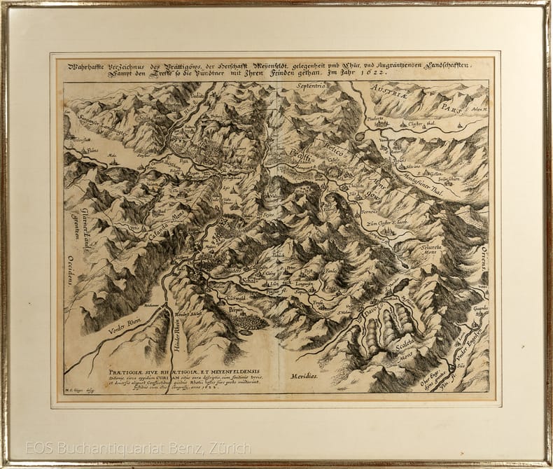
60339BBo.J. Frans Hogenberg (oder Hooghenbergh, auch Franz Hogenberggeboren 1535 in Mechelen, gestorben 1590 in Köln. Kupferstecher und Radierer. Georg Braun, geboren 1541 in Köln, gestorben 1622 ebenda. Theologe, Kanoniker. Braun und Hogenberg waren in den Jahren von 1572 bis 1618 Herausgeber des Städteansichtenbuches 'Civitates Orbis Terrarum'. [2 Warenabbildungen]
30884, Mercator/ Mercatorfonds , 2011 Hardback, 325x245mm, 400p, 200 colour illustrations, Dutch (NL) edition . ISBN 9789061531241.
Hardback, 325x245mm, 400p, 200 colour illustrations, Dutch (NL) edition . ISBN 978906153124113. De Atlas van Mercator, de beroemdste atlas ter wereld, werd in 1595 in meerdere fascikels gedrukt en was al voor zijn tijdgenoten een sensatie. Gerard Mercator bedacht niet alleen het woord atlas voor een systematische verzameling van kaarten, maar hij ontwierp ook de zogenaamde Mercatorprojectie die vandaag nog altijd wordt gebruikt. Van de Atlas van Mercator zijn nog slechts weinig volledige exemplaren bewaard en daarvan zijn er maar enkele ingekleurd. In dit boek wordt een inleiding gegeven op leven en werk van de grote kosmograaf en worden alle kaarten uit de 'Editio principissima' die in de Staatsbibliothek zu Berlin wordt bewaard, in waarheidsgetrouwe kleuren gereproduceerd. Het werk is een hommage aan de uitvinder van het moderne wereldbeeld wiens vijfhonderste geboortedag in 2012 wordt gevierd.
46726, [BE] BAI - MAS Books , 2015 Hardback, 285x210mm, 176p, throughout colour illustrations, Dutch (NL) edition . ISBN 9789085866923.
Hardback, 285x210mm, 176p, throughout colour illustrations, Dutch (NL) edition . ISBN 9789085866923. Het aardoppervlak is 510 miljoen vierkante kilometer. Al eeuwen proberen mensen overal ter wereld die grote aarde bevattelijk te maken op een kleiner formaat: in wereldkaarten. Wereldkaarten, van vroeger tot nu, laten zien wat wij weten over de wereld. Wereldkaarten zijn spiegels van een tijdsgeest. In de christelijke middeleeuwen was Jeruzalem het middelpunt van de wereldkaarten. De onbekende werelddelen werden bevolkt met monsters en fabelachtige figuren. Later verlegden ontdekkingsreizen de horizon. Oosterse en westerse kennis ontmoetten elkaar. Globes zagen het licht. Dankzij de satellietkaarten van Google lijken we vandaag de hele wereld te kennen. Maar is dat wel zo? 'De wereld gespiegeld' vertelt de geschiedenis van het westerse wereldbeeld aan de hand van unieke kaarten en globes. De wereld werd elke eeuw verder ingekleurd, maar werd ook elke eeuw anders voorgesteld. Enkele hedendaagse kunstenaars voegen hun spiegeling van de wereld toe aan dit verhaal.
190570132- Carte 40 x 50 cm, pliée en 2.
1957123947Leipzig, Enzyklopädie, 1957. 4°. M. 1 beilieg. Legende u. 105 farb. Ktn. 58 S. Reg. OLwd.
<br/> STATO: USATO, MOLTO BUONO.<br/> TITOLO: Weltatlas von Reader's Digest. <br/> AUTORE: --<br/> EDITORE: Reader's Digest<br/> DATA ED.: 2009,<br/>
<br/> STATO: USATO, MOLTO BUONO.<br/> TITOLO: Websters Concise World Atlas. <br/> AUTORE: --<br/> EDITORE: Barnes Noble<br/> DATA ED.: 1995,<br/> EAN: 9781566198745
64220, Hes & De Graaf Publishers, 2007 Hardcover, cloth, 281 pages, 32x24cm *Very fine condition. (new). ISBN 9789061940302.
Oblong folio in maroon cloth, stamped boards; (unpaged) 122 col. maps. 24 x 36 cm. Over 120 plates, mainly in color, with facing pages of textual descriptions. A fascinating work. || Water-supply -- United States -- Maps. Text on verso of maps.
1991022980Chapel Hill: University of North Carolina Press 1991. BRAND NEW in a BRAND NEW dust jacket. Perfect condition. Still sealed in the publisher's clear plastic shrink wrap. NO chips. NO tears. NO creases. NO rubbing. NO fading. Sharp corners. Bright and shiny. Fresh crisp clean and unmarked. 1991. First Printing of the First Edition with complete number row 54321 on the copyright page. Illustrated with more than 100 maps bird's-eye views engravings etchings collotypes aquatints mezzotints steel engravings wood engravings and lithographs. Most are in full color. Includes notes on the artists printers publishers and history of the city. Views are accompanied by 97 excerpts from contemporary published works of visitors and residents e. g. Charles Dickens Frederick Marryat Harriet Martineau Benjamin Perley Poore Anthony Trollope Francis Trollope Mark Twain Walt Whitman. Bound in the original light gray cloth stamped in bright gold over a black panel on the spine. Complete with pristine dust jacket. Oversize Hardcover. Oblong. 15" wide by 11.5" tall. This VERY large VERY heavy book will require SUBSTANTIAL extra postage for Priority and International shipments but only the standard charge for media mail. . First Printing of the First Edition. Oversize Hardcover. New/New in publisher's shrinkwrap. xiv 297pp. Great Packaging Fast Shipping. University of North Carolina Press Hardcover
1769MAP1016London: Russell and Price 1769. Original Map . No Binding. Fine. 4to. Single page map of the County of NOTTINGHAM SHIRE John Roque. Published in ENGLAND DISLAYED Being a New Complete and Accurate Survey and Description of the Kingdom of England and Principality of Wales. Plate 16 x20cm sheet 160 x 243mm. Fine original map printed on laid paper. Uncoloured. 2ND EDITION pub. 1769. OTHER COUNTIES ARE AVAILABLE FROM THIS ISSUE. <br/> <br/> Russell and Price unknown
Folding coloured map on cloth measuring 41 x 32 ins (approx. 104 x 81 cms) folding in 36 panels to 8.25 x 5.0 ins (approx. 21.0 x 13.0 cms); original pictorial card wrappers, some light dust-soiling, small closed tear in rear wrapper else a very good, bright, clean copy. Fifth Series Special Sheets were produced for a relatively small number of selected regions, and not included in the numbered sheet series. The cover is Reeves' 'Five Lines' in blue landscape format with Welsh Dragon in red. THIS COVER DESIGN IS UNIQUE, AND SCARCE IN THIS CONDITION. Browne, 100.2.
Amsterdam, 1640 circa. Incisione in rame all'acquaforte, colore d'epoca, cm 38,2 x 51,4 (alla lastra), testo francese al verso. Tracce di umidità e difetti della carta.
1635993DG(1635). Kuperstich von Matthäus Merian. Blattgrösse: 28,5 x 37 cm. + Wichtig: Für unsere Kunden in der EU erfolgt der Versand alle 14 Tage verzollt ab Deutschland / Postbank-Konto in Deutschland vorhanden +, 993DG Bildgrösse: 40 x 49 cm.
1635993DG(1635) Kuperstich von Matthäus Merian. Blattgrösse: 28,5 x 37 cm. Bildgrösse: 40 x 49 cm.
19732295DBDitetikon-Zürich, Bibliophile Drucke von Josef Stocker, 1973. Quer-Folio. 1 Karte lose in Orig.-Umschlag. + Wichtig: Für unsere Kunden in der EU erfolgt der Versand alle 14 Tage verzollt ab Deutschland / Postbank-Konto in Deutschland vorhanden +, A|B [2 Warenabbildungen] Faksimiledruck.
19732295DBFaksimiledruck. Ditetikon-Zürich, Bibliophile Drucke von Josef Stocker, 1973. Quer-Folio. 1 Karte lose in Orig.-Umschlag.
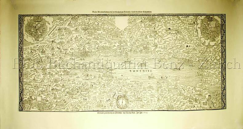
19601633AGGattikon, Dorfpresse, o.J. (um 1960). Faksimiledruck. Blattformat: 53 x 100 cm. + Wichtig: Für unsere Kunden in der EU erfolgt der Versand alle 14 Tage verzollt ab Deutschland / Postbank-Konto in Deutschland vorhanden +, 1633AG
19601633AGGattikon, Dorfpresse, o.J. (um 1960). Faksimiledruck. Blattformat: 53 x 100 cm.
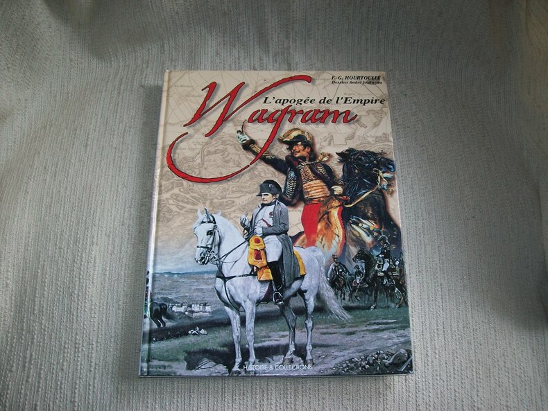
2002GITj304Paris Histoire et Collections 2002 In-4 120pp imprimées sur 2 colonnes. Cartonnage éditeur papier glacé bradel illustré en couleurs. Abondante et belle illustration d'après des documents anciens, en noir et en couleurs, planches d'uniformologie par André Jouineau, cartographie de Jean-Marie Mongin. Bel exemplaire frais et complet. Excellente documentation, très bien illustrée.
Francia, 1732 - 1746 circa. Tratta dal “Recueil de plusieurs plans des ports et rades et de quelques cartes particulières de la mer Mediterranee" par Jacques Ayrouard pilote Real avec privilege du Roy. Incisione in rame all'acquaforte, b/n, cm 31 x 46,5 circa (alla lastra) più margini. Disegnata dal Ayrouard e incisa dal Corne piano della rad del Monte Circeo e piano del Molo di Napoli; si segnalano scandagli, pericoli per la navigazione e ancoraggi che si trovano lungo la costa. Poco si sa su Jacques Ayrouard, il quale pubblicò solo questo libro sui porti del Mediterraneo. Era un navigatore per la Marina Reale francese e dedicò il suo lavoro a Jean Federico Phélypeaux Comte de Maurepas, che fu Ministro della Marina per Luigi XV. Leggero sfondo di inchiostratura, foglio molto fine e in ottimo stato di conservazione.
LITOGRAFIA mm.320 X 545 ( ved.) + MARGINI.PUBBLICATA IN: ALBUM DES DIVERSES LOCALITES FORMANT LES ETABLISSEMENS INDUSTRIELS D'ACIDE BORACIQUE FONDES EN TOSCANE ( 1818 ). PAR LE COMTE DE LARDEREL. PARIS ( 1853 ). MINIMI STRAPPETTI MARGINALI DEL FOGLIO NELLA PARTE BIANCA, ALTRIMENTI OTTIMA CONSERVAZIONE GENERALE. ID, 6702